

Met1985
-
Posts
15,369 -
Joined
-
Last visited
About Met1985

-

2025 Spring/Summer Mountain Thread
Met1985 replied to Maggie Valley Steve's topic in Southeastern States
A cold morning here with a low of 25 degrees and a heavy frost. -
2025 Spring/Summer Mountain Thread
Met1985 replied to Maggie Valley Steve's topic in Southeastern States
Ended up getting down to 32 but no flakes that I saw. Currently a cold 36 still. -
2025 Spring/Summer Mountain Thread
Met1985 replied to Maggie Valley Steve's topic in Southeastern States
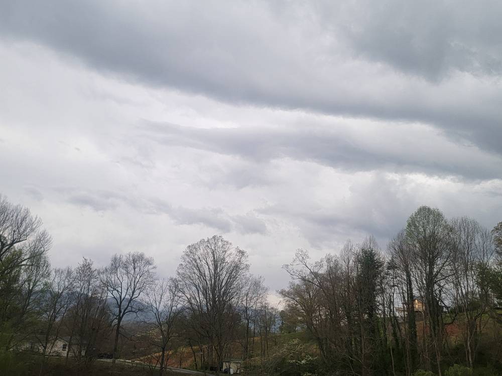
Temp down to 43 currently with intermittent rain showers. -
2025 Spring/Summer Mountain Thread
Met1985 replied to Maggie Valley Steve's topic in Southeastern States
Also I wouldn't be surprised to start to see temps fall along the border and we see some mixing and snow starting to come down in elevation. -
2025 Spring/Summer Mountain Thread
Met1985 replied to Maggie Valley Steve's topic in Southeastern States
Big time storm blowing up right now around Bent Creek area and moving east towards Long Shoals. Deep thunder with this. -
2025 Spring/Summer Mountain Thread
Met1985 replied to Maggie Valley Steve's topic in Southeastern States
Storms rolling through we're absolutely severe. -
2025 Spring/Summer Mountain Thread
Met1985 replied to Maggie Valley Steve's topic in Southeastern States
Storm is moving away. Gosh darn what a Storm! Absolutely hammered here! -
2025 Spring/Summer Mountain Thread
Met1985 replied to Maggie Valley Steve's topic in Southeastern States
Huge bolt of lightning just hit up from me hitting a tree. Dang this storm means business. -
2025 Spring/Summer Mountain Thread
Met1985 replied to Maggie Valley Steve's topic in Southeastern States
Winds gusting over 40mph! Lots of clouds to ground lightning. -
2025 Spring/Summer Mountain Thread
Met1985 replied to Maggie Valley Steve's topic in Southeastern States
We've got pea size hail! Sent from my SM-G998U using Tapatalk
-
2025 Spring/Summer Mountain Thread
Met1985 replied to Maggie Valley Steve's topic in Southeastern States
Big time storms rolling in. Power was just knocked out. -
2025 Spring/Summer Mountain Thread
Met1985 replied to Maggie Valley Steve's topic in Southeastern States
Storms rumbling already. Dark clouds moving in. Sent from my SM-G998U using Tapatalk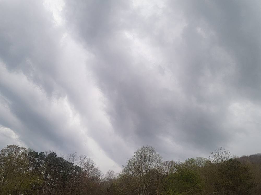
-
2025 Spring/Summer Mountain Thread
Met1985 replied to Maggie Valley Steve's topic in Southeastern States
Severe Thunderstorm Warning for... Northern Jackson County in western North Carolina... Northeastern Swain County in western North Carolina... Southwestern Haywood County in western North Carolina... * Until 730 PM EDT. * At 649 PM EDT, a severe thunderstorm was located 9 miles north of Bryson City, or near Smoky Mountains-Newfound Gap, moving southeast at 45 mph. HAZARD...60 mph wind gusts and quarter size hail. -
2025 Spring/Summer Mountain Thread
Met1985 replied to Maggie Valley Steve's topic in Southeastern States
Severe storms coming through. Sent from my SM-G998U using Tapatalk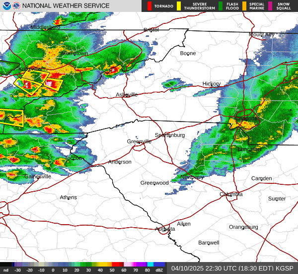
-
2025 Spring/Summer Mountain Thread
Met1985 replied to Maggie Valley Steve's topic in Southeastern States
45 degrees and rain here.


