-
Posts
545 -
Joined
-
Last visited
About Nelson

Profile Information
-
Four Letter Airport Code For Weather Obs (Such as KDCA)
KMSN
-
Gender
Not Telling
-
Location:
Mount Horeb, WI
Recent Profile Visitors
The recent visitors block is disabled and is not being shown to other users.
-
Nelson started following July 28th Severe Weather , March 14-15 Severe Weather Outbreak , 2/14-2/15 Potential Major Winter Storm and 6 others
-
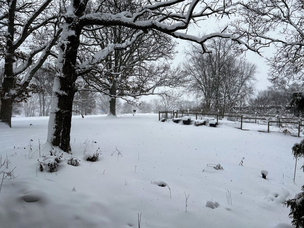
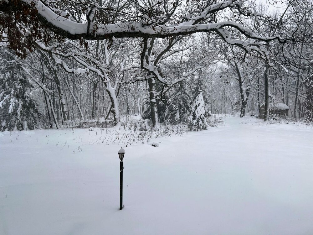
Ended up with 4.4" here on the west side of Madison. Pretty close to expectation - thought we might push 5-6" with how much it lingered.
-
Winter 2024-25 Medium/Long Range Discussion
Nelson replied to michsnowfreak's topic in Lakes/Ohio Valley
Barely paying attention until I see one of them chime in... This bullshit isn't helping. -

Winter 2024-25 Medium/Long Range Discussion
Nelson replied to michsnowfreak's topic in Lakes/Ohio Valley
Keep hope alive bro... -

Summer 2024 Medium/Long Range Discussion
Nelson replied to Chicago Storm's topic in Lakes/Ohio Valley
came here to say this... -
Running about as expected here. Guessing 6-7" so far (hard to measure at this point). Might make double digits if this afternoon can produce.
-
9.9" for mby to get us over 20" for the week.....
-
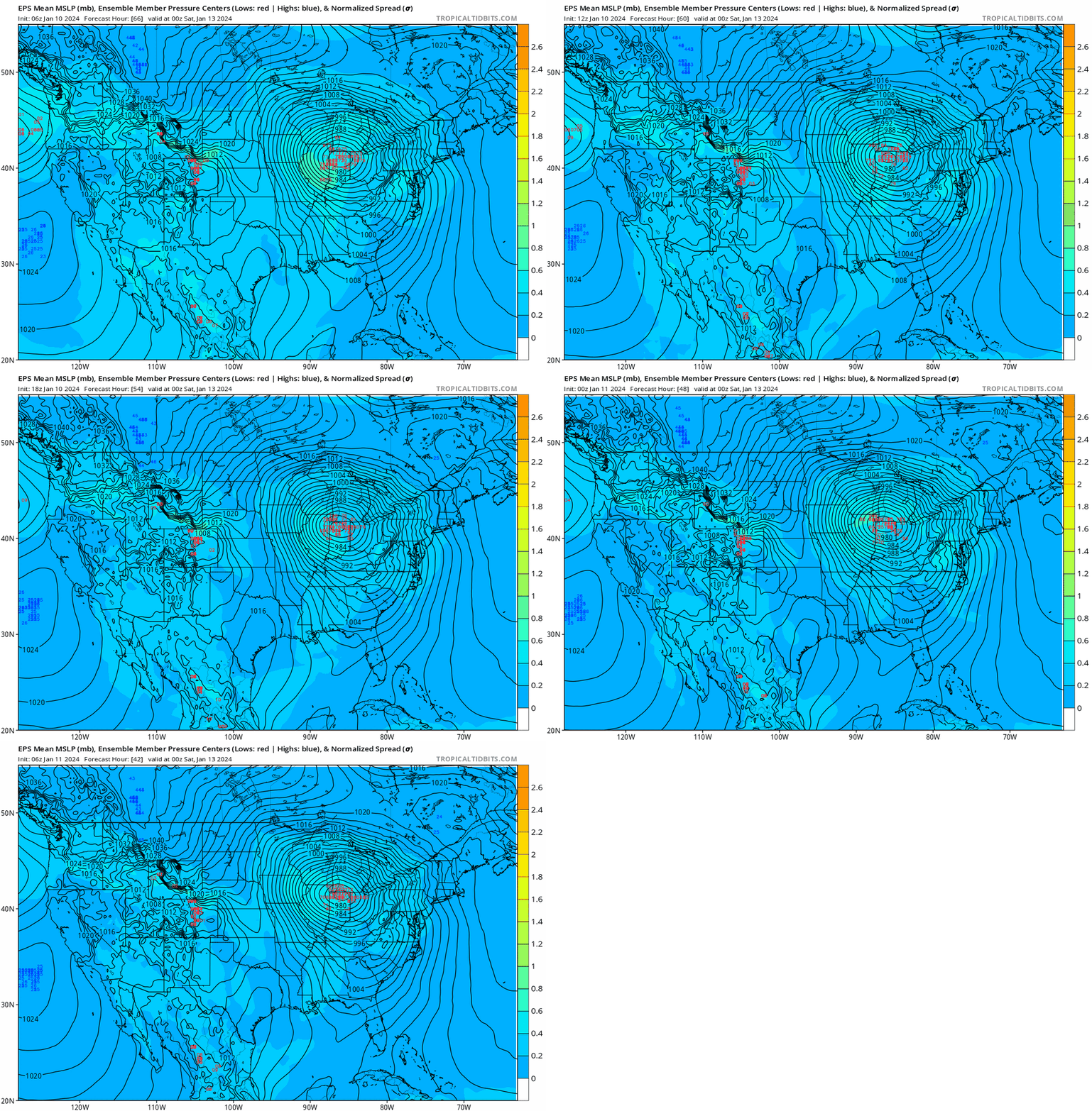
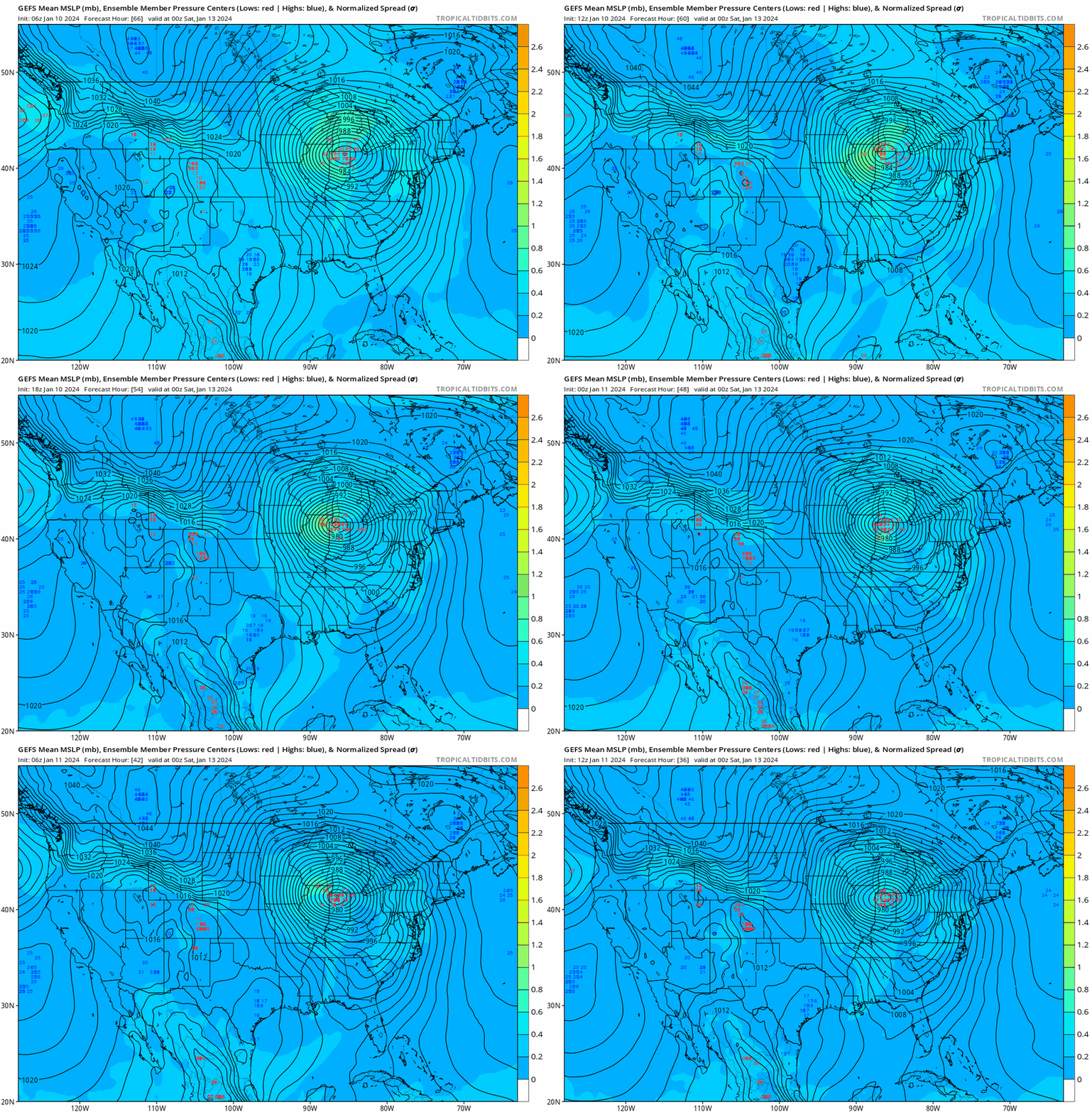
Obviously, lot of debating of finer details but at a higher level view, I think the GEFS and EPS ensemble means have been pretty consistent.
-

Winter 2023/24 Medium/Long Range Discussion
Nelson replied to Chicago Storm's topic in Lakes/Ohio Valley
**edit** just saw we pulled the trigger on a thread. I like it. Obviously would be tits if we got back to back 6+' storms (in my neck of the woods) but long ways to go yet on the weekend system. Lot of spread on the GFS ENS. Don't mind the EPS look at this point. Also, lots of talk about how the ECMWF has been shit as of late but does anyone have verification stats to back that up (I'm too lazy to look)? Seems like it was pretty consistent at range with the early week system vs the GFS. -

Winter 2023/24 Medium/Long Range Discussion
Nelson replied to Chicago Storm's topic in Lakes/Ohio Valley
Ride the ENS.... -
GEFS has been fairly consistent with the mean low track over the past few runs. As always, ENS are really the only thing to be seriously watching at this range.
-
Need this sh*t in January
-
The ignore feature is wonderful. Use it and save yourself the bullshit.
-
stay safe cyclone
-
That's the one thing that has struck me more than anything so far this summer - the low dewpoints. I can't remember a stretch where they have been, on average, as low as they've been.


