

Cashtown_Coop
-
Posts
3,380 -
Joined
-
Last visited
Content Type
Profiles
Blogs
Forums
American Weather
Media Demo
Store
Gallery
Posts posted by Cashtown_Coop
-
-
-
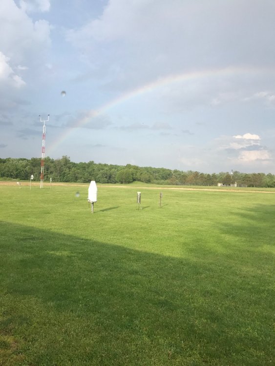
Where’s our Pittsburgh poster. Absolute rippage if that’s all snow
-
3 minutes ago, kerplunk said:
Thanks. Same here - at that price seems Tier 2 is for dedicated storm chasers.
I agree. You pick up shear and hail core contours etc. I do wish tier 1 had the 30 day radar archives
-
My temp has tanked to 24 with the heavier band. I’m 24/22 mod snow
-
2 minutes ago, kerplunk said:
Great app - you have Tier One or Tier Two?
I have tier 1. Tier 2 is like $15 a month
-
Lightning strike picked up

-
 1
1
-
-
-
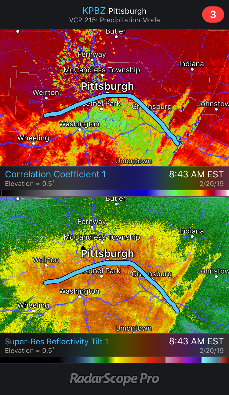
Radar to sw looks sweet. It’s already dumping before the heavier returns are here.
-
27/18. First flakes
-
 1
1
-
-
1 minute ago, bubbler86 said:
Very cool. I was looking to see what your humidty was over the last few hours and that shows it all! I was surprised I was so low...I am at 47% still.
I have 2 stations I use so sometimes I average the numbers. I have a rainwise mkIII and a davis vp2
-
1
-
-
3 minutes ago, bubbler86 said:
Are you not on the Wunderground Network with your rig? Maybe it is against the rules for a Coop to be listed?
I am not but have 3-4 others within 5 miles of me that are.

Here’s a link to my cwop station
-
8 minutes ago, bubbler86 said:
27/9 here. Had made it to 26 before stopping the drop.
26/17 here.
-
1 minute ago, bubbler86 said:
Down to 32 with a DP of 8 right now. Hope to make it to under 25 by arrival of precip and get a few degrees under that as it starts. Cushion!
That shouldn’t be a prob. I’m 29/9
-
25 minutes ago, bubbler86 said:
They actually sell these at the Cashtown Dollar Store. They cost $2.

Too funny.
-
1
-
-
2 minutes ago, Blizzard of 93 said:
The 12z Euro is locked in !
Here is another view.

Looks the same. I’m going with Upper Strasburg for the win. There’s a retired CTP met that lives there and always reports in. He prob sees 10-12”
-
I know it’s the hrrr at range but you can’t hate that look.
-
1
-
-
Quick ob
its 31/6 here. I love seeing the dews so low before the event.
-
1
-
-
21 minutes ago, Blizzard of 93 said:
Here is CTP’s latest snow map at 1035am
I wonder when they upgrade us to a Winter Storm Warning?

My guess would be after euro run 1-2pm
-
Just now, paweather said:
Smoked
-
3 minutes ago, pasnownut said:
thats my go staple, but now that we go to beer festies I've broadened my horizons greatly. High life keeps me from getting "fluffy" in the middle....lol
Sauss n i both drink it, so we'll come crash your house in celebration of your jackpot. We'll make yellow snowcones for you

I have a St. Bernard that sets land mines and turns my snow yellow. Come on over and join the party.
-
 3
3
-
-
https://www.wpc.ncep.noaa.gov/#
WPC really sends the juice. Southern tier hits the 1.5 to 1.75 range
-
2 minutes ago, KPITSnow said:
The storm in mid January had the euro giving us a foot the night before it rained all day. The GFS completely nailed that storm.
I don’t follow your area that close, did it lock on that idea for consecutive runs or was it a one run wonder?
-
6 minutes ago, pasnownut said:
Yeah, I'd think Seven Springs, Raystown, Magville and of course that cashtown snowhog would have best chance at crackin a double digit number (and 10-11" would me max IMO). With antecedent cold I always get concerned at how long it can hold, and as currently modeled, you need best forcing before column becomes marginal, and thats a couple hour window. This isnt CCB's, so ratios would likely be 10:1, maybe 12:1 for a short period of time.
Again, I'm not being a Deb, I'm being honest w/ myself and keeping expectations in check (one only needs to look back to last weeks bust and realize that this storm shares similarities), but as a whole still has better potential. Its a nice storm all the same, and in this tough winter in the LSV, I'll take it just as modeled.
Thanks for the shout out Nut. What beer do you drink high life? Get a 12 pack set back and watch it snow. It’s coming for you !!
-
How about the euro. It has been rock steady for 3 days now. When it’s locked in like that, I wouldn’t bet against it.
-
1
-


Central PA - Jan/Feb 2019 Obs and Discussion
in Upstate New York/Pennsylvania
Posted
Congrats. Hope u can hang on for a couple more hours