

Amped
-
Posts
14,570 -
Joined
-
Last visited
Content Type
Profiles
Blogs
Forums
American Weather
Media Demo
Store
Gallery
Everything posted by Amped
-
Snow is picking up, but no fatties yet.
-
Hopefully this holds for an hour or two. It's the only way we'll get as much as NVA and DC
-
Has some big flakes for sure
-
Steady snow, about 1.5" so far.
-
There's a nice band over Ohio and WV, hopefully it can make it to our area.
-
Have never been happy with how this looks north of I70. We really don't get into the good rates. It's going to be hard to get 6" from snizzle.
-

Central/Western Medium-Long Range Discussion
Amped replied to andyhb's topic in Central/Western States
Euro has a pretty strong low coming out of the central plains into the Ohio Valley late next week. It would likely result in a multiday severe outbreak. GFS looks totally different. -
Central/Western Medium-Long Range Discussion
Amped replied to andyhb's topic in Central/Western States
2018 Tornado stats from 4 states I handpicked. Tells most of the 2018 story. WY: 14 OK: 10 VA:10 ID:9 Edit: Another tornado, right after I make the post. And of course, it's in Wyoming -
WPAC, Indian Ocean, and Southern Hemisphere Tropical Cyclones
Amped replied to 1900hurricane's topic in Tropical Headquarters
Now this is almost like a storm moving up the Gulf of California. -
Looks like the deathband totals got killed by the upslope totals in a very slow painful way.
-
15:1 should be about the maximum ratio allowed on large snowstorm >20". If you have more than 30, you better have >2" liquid.
-
NH and Maine look like they're getting rocked just as hard as MASS
-
Poor Tolland, they got fringed.
-
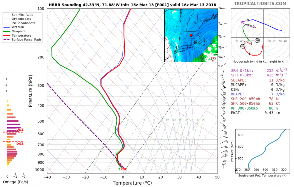
Yeah kind of an odd sounding there's lift above and below H7
-
So a deathband forms over ORH even if no model has one there.
-
WPAC, Indian Ocean, and Southern Hemisphere Tropical Cyclones
Amped replied to 1900hurricane's topic in Tropical Headquarters
GFS and ECMWF D9-10 showing a possible Philippines storm. Storms don't often form below 10N, but when they do, there isn't much shear, and SSTS stay high year round in these areas. -
WPAC, Indian Ocean, and Southern Hemisphere Tropical Cyclones
Amped replied to 1900hurricane's topic in Tropical Headquarters
Sandy definitely looked worse. If they had satellite in 1938 it probably wouldn't have looked much better. Transitioning storms aren't going to look as good on satellite. -
WPAC, Indian Ocean, and Southern Hemisphere Tropical Cyclones
Amped replied to 1900hurricane's topic in Tropical Headquarters
Probably down to a tame 100kts with a 10 foot storm surge over the worlds most populated area. No big deal. -
WPAC, Indian Ocean, and Southern Hemisphere Tropical Cyclones
Amped replied to 1900hurricane's topic in Tropical Headquarters
Taken a big jog west of the forecast track the past few hours. Moving due north as far as I can tell. -
WPAC, Indian Ocean, and Southern Hemisphere Tropical Cyclones
Amped replied to 1900hurricane's topic in Tropical Headquarters
You can see it's fighting off shear and dry and maintaining intensity. It will hit cooler SSTs after 00UTC but still above 26C until close to landfall. Also models show landfall between 15 and 18utc, this track looks a tad slow. -
WPAC, Indian Ocean, and Southern Hemisphere Tropical Cyclones
Amped replied to 1900hurricane's topic in Tropical Headquarters
http://www3.nhk.or.jp/news/html/20171021/k10011185351000.html Transated 70 m/s= 157mph . Also yesterdays 12z Euro 24hrs had 926mb. Todays 12z was initialized to 956mb. Euro track goes right up Tokyo bay, GFS is west of it. -
WPAC, Indian Ocean, and Southern Hemisphere Tropical Cyclones
Amped replied to 1900hurricane's topic in Tropical Headquarters
EPS mean is almost right over Tokyo. Going to get a huge surge up the bay with that track. This thing probably has a lot more integrated kinnetic energy than Isabel or Sandy. -
WPAC, Indian Ocean, and Southern Hemisphere Tropical Cyclones
Amped replied to 1900hurricane's topic in Tropical Headquarters
This is going to get pretty ugly for Tokyo and a lot of Japan, hopefully they are well prepared. -
WPAC, Indian Ocean, and Southern Hemisphere Tropical Cyclones
Amped replied to 1900hurricane's topic in Tropical Headquarters
So it was a bit underdone here. -
WPAC, Indian Ocean, and Southern Hemisphere Tropical Cyclones
Amped replied to 1900hurricane's topic in Tropical Headquarters
Not sure how -75.9, +19.5 is only a T6.3.


