Amped
-
Posts
14,168 -
Joined
-
Last visited
Content Type
Profiles
Blogs
Forums
American Weather
Media Demo
Store
Gallery
Everything posted by Amped
-
People need to realize you can mix and still get the jackpot. The January 2011 storm had about 6hrs of sleet in areas that got over 10". It might be the case with this storm as well due to the strong confluence zone and trailing ULL.
-
Pretty much what the 18z Nam has. It must have read my post.
-
I'll take the front end thump on the Euro that drops a foot of snow in 3 hrs over Richmond but shifted north 100 miles followed by the gfs back end ULL pasage.
-
Looks more like the ICON. Most snow for I70, even with sleet and a dryslot.
-
I'll still take it over the NAM 90% of the time.
-
Of course, he doesn't comment on the Euro showing a 12" jackpot over Chincoteague, which is equally out to lunch. Cmc is the only sane one.
-
It's in a really good spot for 72hrs out. Might even want it a bit further south.
-
You can see the GFS amplifies the ridge over the west coast during the 36-48hr period while the Euro/CMC/UKMET keep it flatter. This is the likely cause of the GFSs stronger further north solution.
-
I am liking this CMC trend. Temporarily lifting finger slightly off the panic button.
-
CMC is well south of the GFS through 66hrs. Downstream confluence much stronger.
-
Could be some decent backend snows as well. This does look kind of similar to the 1/2019 setup.
-
DC jackpot, always works out.
-

January: Medium/ Long Range: May the Force be with Us....
Amped replied to Weather Will's topic in Mid Atlantic
6" with 20' drifts. -
January: Medium/ Long Range: May the Force be with Us....
Amped replied to Weather Will's topic in Mid Atlantic
Gfs phases the PV in the Gulf of Maine. A few inches of snow and some impressive wind. -
January: Medium/ Long Range: May the Force be with Us....
Amped replied to Weather Will's topic in Mid Atlantic
GFS looks odd, but you gotta admire the way the cmc just shreds the energy when there's not a strong confluence zone. Makes even less sense. -
January: Medium/ Long Range: May the Force be with Us....
Amped replied to Weather Will's topic in Mid Atlantic
One of the largest snow swaths you'll ever see. Extends all the way back to NM -
First flurries of the year
-
Rafael was not supposed to be this strong in the gulf.
-
GFS fantasy land tracks right over our favorite FL town again.
-
-
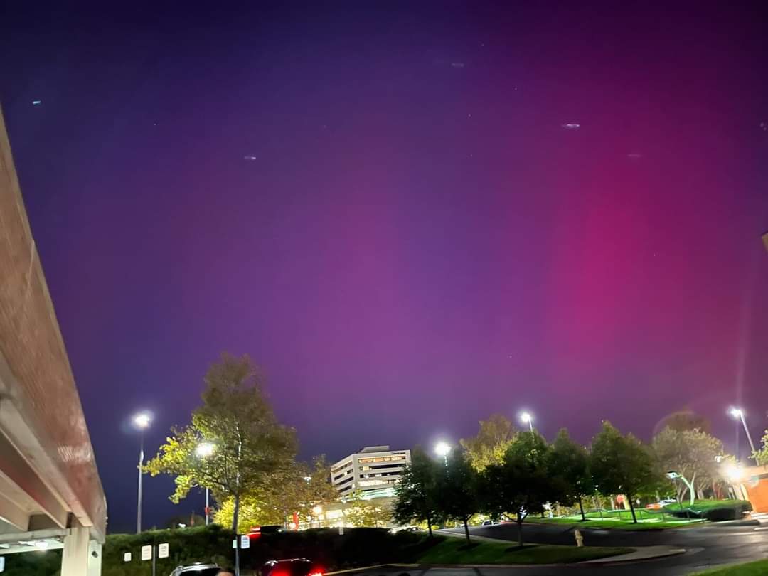
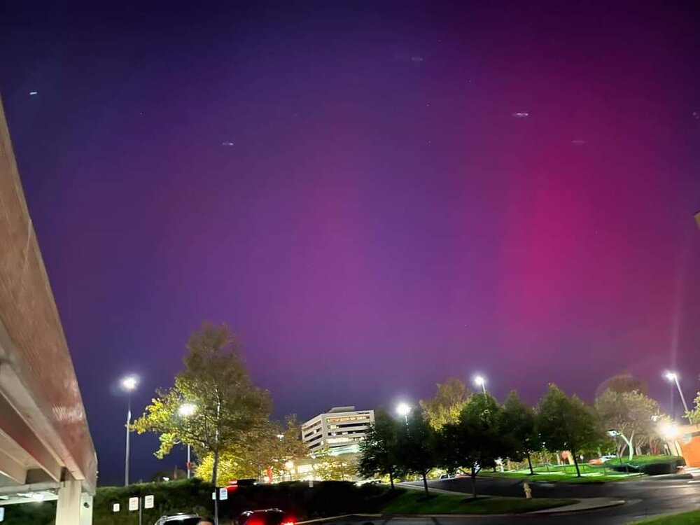
Funny I was in downtown Columbia all night and it didn't look like this. Maybe a tenth that bright.
-
Never wanted a power outage so badly
-
There's still a huge waterspout outbreak going on off Floridas east coast.
-
Coming for Orlando and Daytona next.
-
The rainband headed for Orlando later tonight. Hopefully the heaviest part misses to the north, but it does seem to be having a hard time advancing north on radar.