HighStakes
-
Posts
4,385 -
Joined
-
Last visited
Content Type
Profiles
Blogs
Forums
American Weather
Media Demo
Store
Gallery
Everything posted by HighStakes
-
Flakes mixing in here now.
-
I remember the 1984 storm well. Of course because of the Colts. I lived approximately 2-3 miles south of the Colts complex in Owing Mills. I got about 2 inches of slush but it was quite a wintry scene that morning. Wind blown wet snow. I always wondered how Westminster faired with that storm. Now I know lol. I think we had a 2 hour delay that they changed into schools closed. April 2nd/3rd 1990 2-4 inches fell in Pikesville/OwingsMills/Reisterstown corridor. Not sure How Carroll County did. April 1996 maybe the 9th? We were under a winter storm Warning. The warning didn't verify but it did snow all day. 1-2 of slop in Reisterstown. Areas further North/Northeast however did do well. Since I moved to Manchester in 2009 I can't remember an April where there weren't at the very least snow flurries/snow showers. Most years we have snow cover the ground in April. We had snow showers here in May of 2020. The latest legit snow I can remember was in April 1993. Can't recall the date but pretty sure it was after the 10th. I was in Westminster because I attended Western Maryland College then and there was 2-3 inches. Snowed heavily all morning. Sane storm mid winter probably would've yielded 10 inches.
-
3/12 Event: Winters Last Hurrah at Least East of Mountains
HighStakes replied to Weather Will's topic in Mid Atlantic
Winds were never really impressive here except for a couple times during the heavier snow burst. Probably higher gust on the ridges around town. Went with 6 for a final storm total.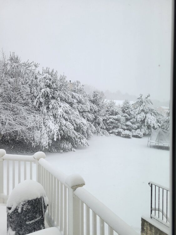
-
Mid-Atlantic forum winter 2021/22 snow totals thread
HighStakes replied to North Balti Zen's topic in Mid Atlantic
3/12: 6.0 Total: 24.5 -
3/12 Event: Winters Last Hurrah at Least East of Mountains
HighStakes replied to Weather Will's topic in Mid Atlantic
Lowered visibility again with heavy snow. Winds picking back up. Snow more powdery. Paved surfaces getting covered again. -
3/12 Event: Winters Last Hurrah at Least East of Mountains
HighStakes replied to Weather Will's topic in Mid Atlantic
Snowing nicely again. Temps falling into mid 20's. -
3/12 Event: Winters Last Hurrah at Least East of Mountains
HighStakes replied to Weather Will's topic in Mid Atlantic
Only was windy twice here throughout the storm when the heaviest rates occurred. -
3/12 Event: Winters Last Hurrah at Least East of Mountains
HighStakes replied to Weather Will's topic in Mid Atlantic
@psuhoffman Solid 5 down here. Must have been wind. -
3/12 Event: Winters Last Hurrah at Least East of Mountains
HighStakes replied to Weather Will's topic in Mid Atlantic
We did too but it came back on. -
3/12 Event: Winters Last Hurrah at Least East of Mountains
HighStakes replied to Weather Will's topic in Mid Atlantic
Power is struggling. -
3/12 Event: Winters Last Hurrah at Least East of Mountains
HighStakes replied to Weather Will's topic in Mid Atlantic
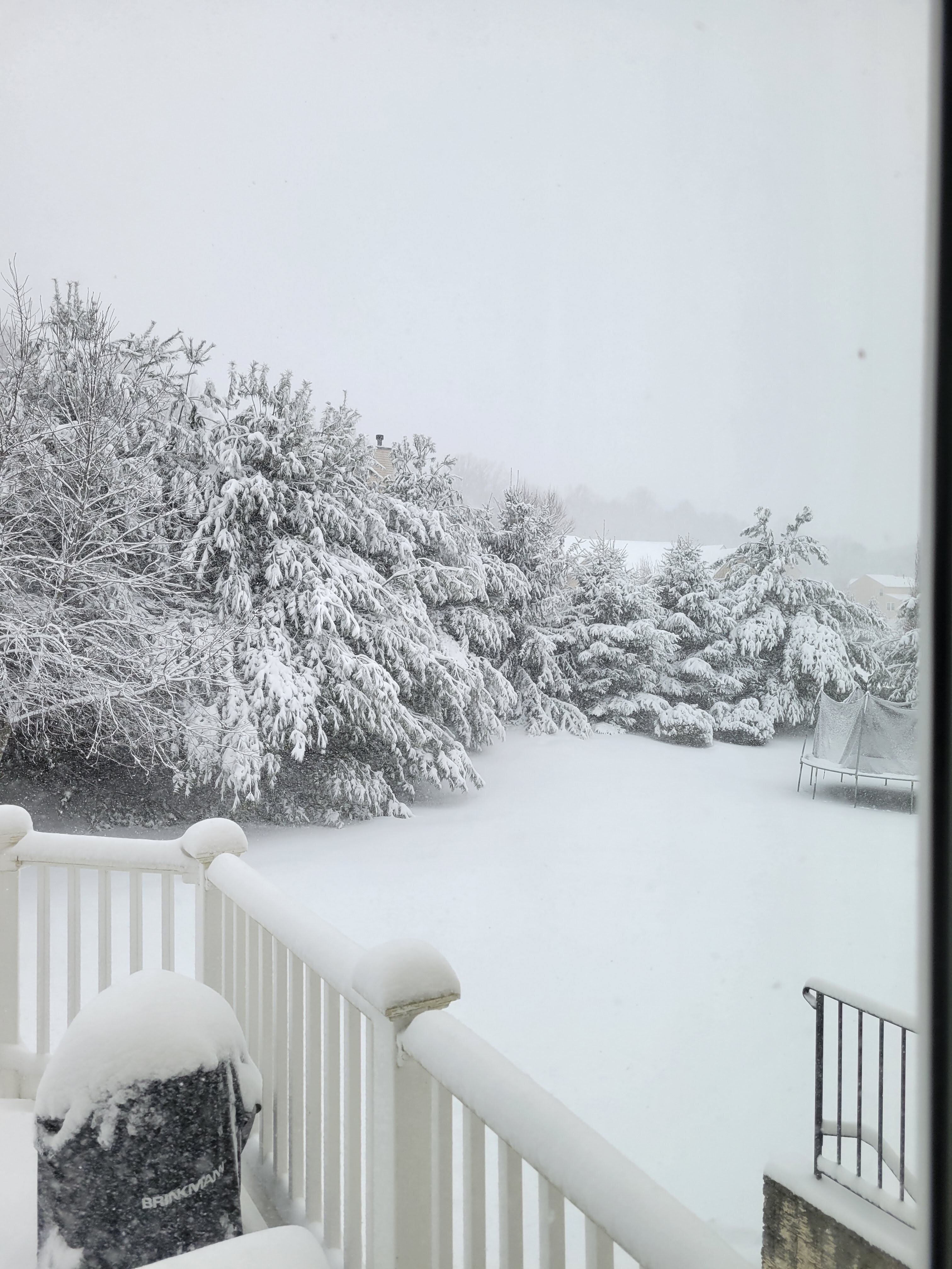
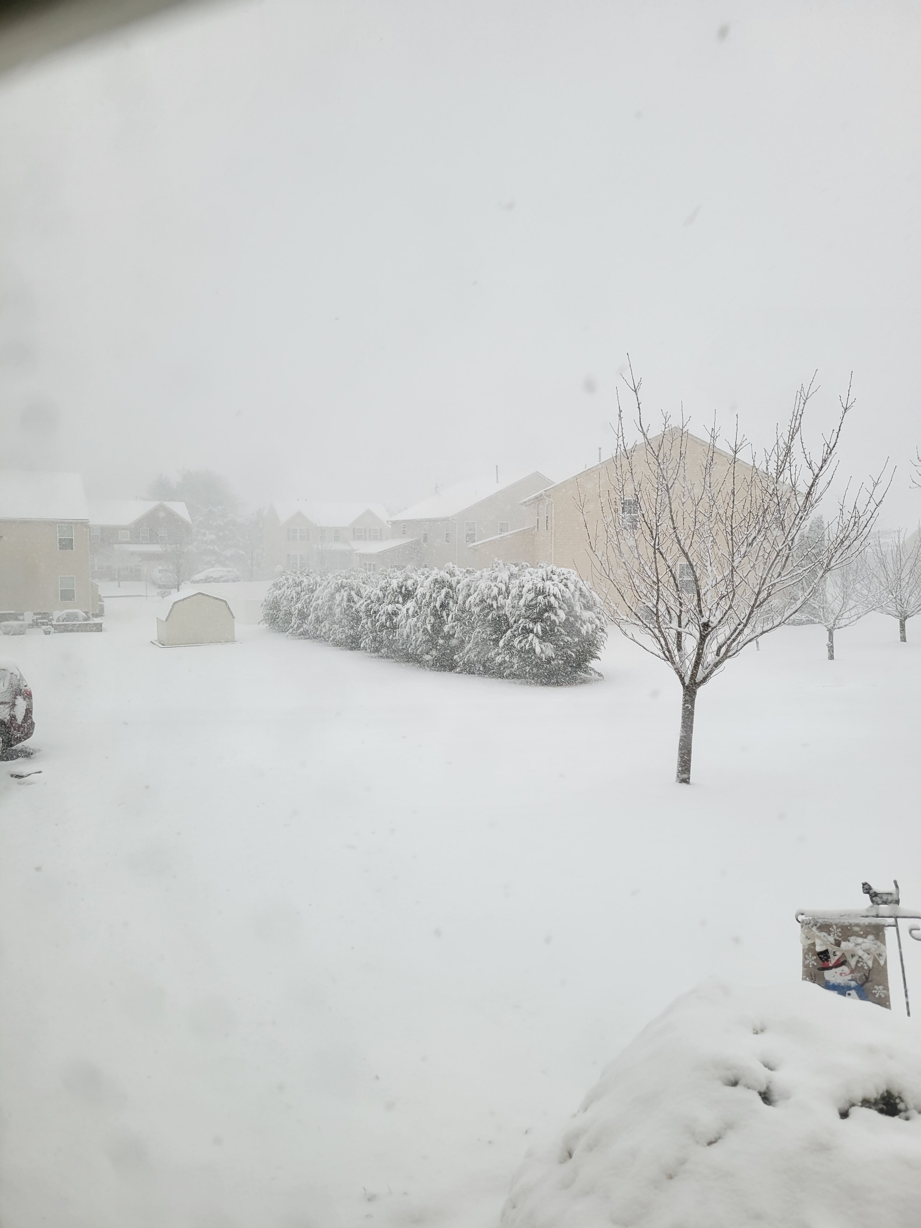
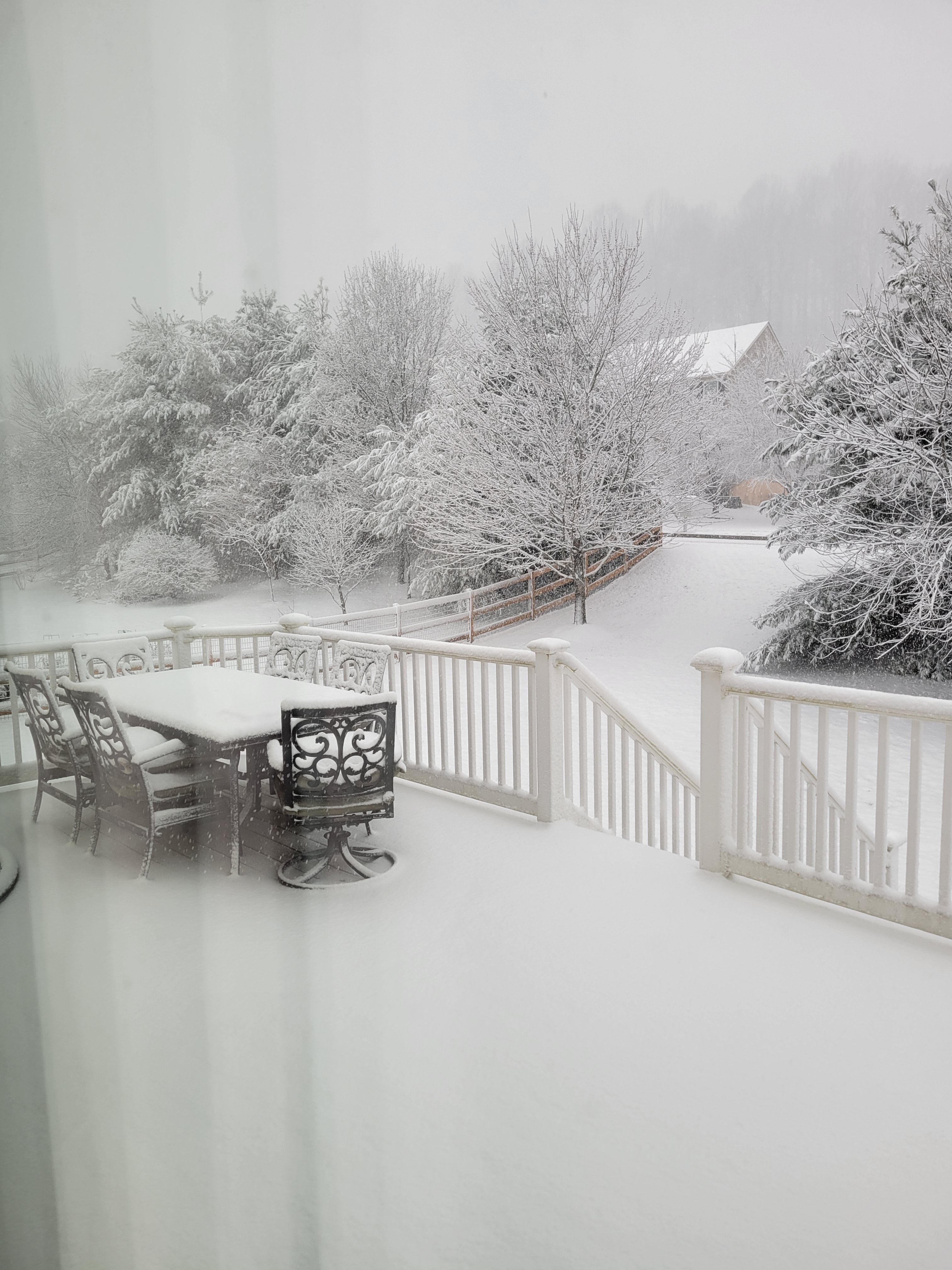
Snow rates has picked up as well as the winds. Maybe 2 inches an hour now. Blizzard conditions. Easily 3 inches plus.
-
3/12 Event: Winters Last Hurrah at Least East of Mountains
HighStakes replied to Weather Will's topic in Mid Atlantic

-
3/12 Event: Winters Last Hurrah at Least East of Mountains
HighStakes replied to Weather Will's topic in Mid Atlantic
Moderate/Heavy. Relatively calm. -
3/12 Event: Winters Last Hurrah at Least East of Mountains
HighStakes replied to Weather Will's topic in Mid Atlantic
Transitioning now. -
3/12 Event: Winters Last Hurrah at Least East of Mountains
HighStakes replied to Weather Will's topic in Mid Atlantic
I've been really busy with work so I haven't had a chance to look but it seems we could see some intense snow showers/squalls? -
3/12 Event: Winters Last Hurrah at Least East of Mountains
HighStakes replied to Weather Will's topic in Mid Atlantic
No Doubt! I've liked this set up for tomorrow all along. If we fail then it's probably because the heavier band shifts east a bit not because the cold is delayed. This isn't some marginal crappy rate dependent cold coming into our area. That's my take, I've been wrong plenty times but I think tomorrow works out for a lot of us. For our part of the sub forum specifically this is a classic March set up. -
3/12 Event: Winters Last Hurrah at Least East of Mountains
HighStakes replied to Weather Will's topic in Mid Atlantic
Saturday will match or be the biggest snow of the season for northern Maryland. Book it. -
There were several cold shots this past January that were certainly solid cold days but I'm convinced they would have been more impressive just several years ago. DCA is another story all together but now even BWI has trouble staying below freezing during the day even when there is a decent mid winter cold front. There are way too many days that bust warm now. A sunny winter day forecasted to be in the mid 40's ends up in the low 50's up here. On the other side it seems there are almost no days that bust too low anymore.
-
Wednesday March 9th wet snow(snow TV?) threat
HighStakes replied to George BM's topic in Mid Atlantic
Another dud. So close to a decent little event. -
Wednesday March 9th wet snow(snow TV?) threat
HighStakes replied to George BM's topic in Mid Atlantic
Back to rain after a nice burst of snow. -
Wednesday March 9th wet snow(snow TV?) threat
HighStakes replied to George BM's topic in Mid Atlantic
All snow now. No problem sticking to everything but pavements. -
Wednesday March 9th wet snow(snow TV?) threat
HighStakes replied to George BM's topic in Mid Atlantic
Few flakes mixing in with the rain. -
I can think of several other examples. Unfortunately I have to run out on an appointment. If I remember I'll list a few later.
-
As we know it is rare to happen but if any set up can do it this is the one. Saturday is far from impossible. @MillvilleWx talked about how potent this front is. Since his post the models have trended much colder. As always we'll see!
-
If the system is as wet as the Euro is showing there will be a couple periods of heavy snow and anyone with some elevation probably will see temps 32-33 during the heavier bands. If precip is light to at times moderate than sure 34-36 is likely but you rarely see heavy snow at those temps.