-
Posts
19,986 -
Joined
-
Last visited
About andyhb

- Birthday March 18
Profile Information
-
Four Letter Airport Code For Weather Obs (Such as KDCA)
KOUN
-
Gender
Male
-
Location:
Norman, OK
-
Interests
Severe Wx, Music, Sports
Recent Profile Visitors
17,283 profile views
-
Violent tornado with that Byhalia MS cell. 80 kt VROT, huge TDS.
-
Large tornado moving directly into Selmer TN, pop nearly 4500, this could be bad.
-
And another strong tornado near Senatobia MS.
-
Strong tornado in progress near Middleton TN currently, perfectly discrete supercell.
-
Warehouse collapsed with people trapped near Brownsburg IN (west side of Indy) from the tornado earlier.
-
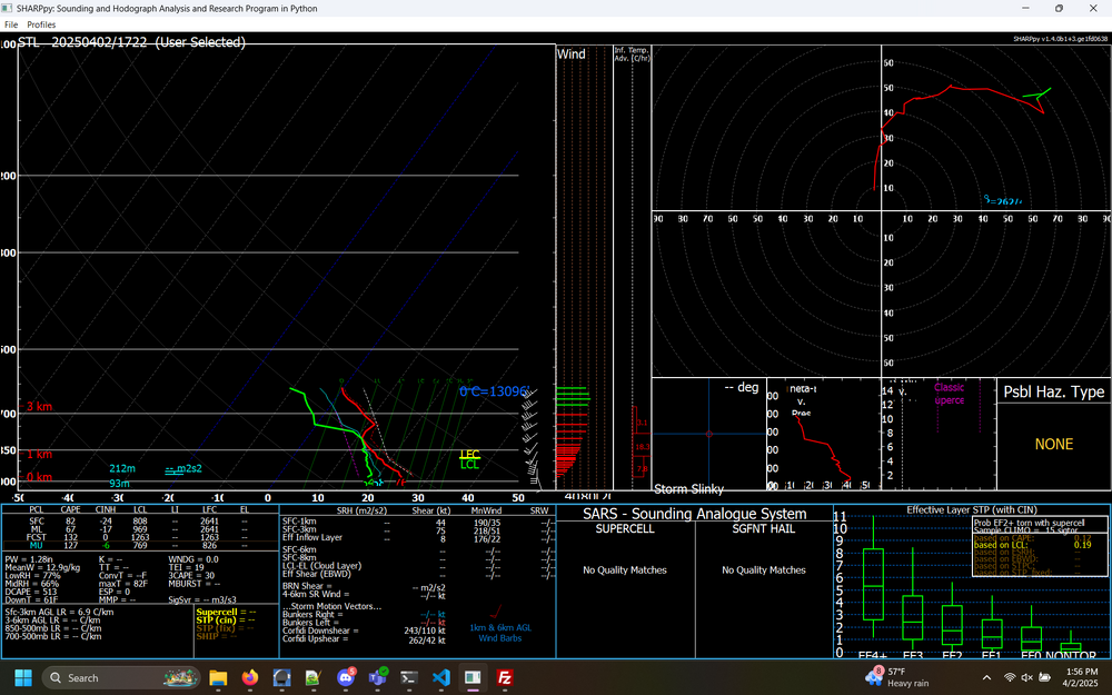
This ACARS profile from St. Louis is bad news from E MO/central IL should any storms get loose ahead of the line. Extremely favorable hodograph for tornadic supercells and a weakening cap.
-
IN/W OH may have some issues later.
-
Plains States Observations and Discussion Thread
andyhb replied to lookingnorth's topic in Central/Western States
Tomorrow could be a very serious severe weather event across KS and southward into OK, particularly in the evening. Incredible shear profiles will overlap with rapidly returning moisture along a 50-70 kt LLJ and weak CIN ahead of a rather potent dryline. -

Spring 2025 Medium/Long Range Discussion
andyhb replied to Chicago Storm's topic in Lakes/Ohio Valley
12z Euro is also a major event. Very volatile parameter space across a very large area with relatively subtle forcing for ascent and a weak cap is a recipe for trouble. -

Spring 2025 Medium/Long Range Discussion
andyhb replied to Chicago Storm's topic in Lakes/Ohio Valley
Really, really need a thread for 4/2-3 here soon. Major outbreak on the 12z GFS from IL/IN all the way southward to central MS. -
Could be a pretty nasty nocturnal threat with this one especially closer to the Ohio River.
-

Spring 2025 Medium/Long Range Discussion
andyhb replied to Chicago Storm's topic in Lakes/Ohio Valley
Volatile, potential widespread severe setup on the 12z Euro/EPS/AIFS next week around 4/2 @RCNYILWX. Have seen that synoptic pattern before and it's consistent with significant GL/Midwest/OV severe events. This has been showing up for several runs now while the GFS is off in la-la land. -
Moisture is mixing out too much, temperatures getting too warm.
-

2025 Short Range Severe Weather Discussion
andyhb replied to Chicago Storm's topic in Lakes/Ohio Valley
-

2025 Short Range Severe Weather Discussion
andyhb replied to Chicago Storm's topic in Lakes/Ohio Valley
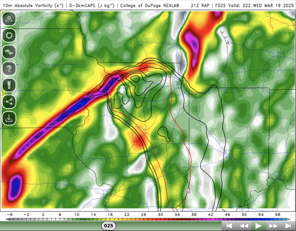
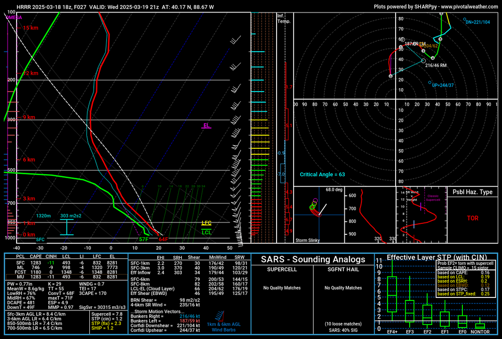
The LCLs on the 15z RAP and 18z HRRR are plenty workable for some tornadoes should the thermodynamics verify this way.


