ncjoaquin
-
Posts
1,325 -
Joined
-
Last visited
Content Type
Profiles
Blogs
Forums
American Weather
Media Demo
Store
Gallery
Everything posted by ncjoaquin
-
2024-2025 Fall/Winter Mountain Thread
ncjoaquin replied to Buckethead's topic in Southeastern States
Great! I hope it starts snowing hard for you. Your elevation will definitely help. -
2024-2025 Fall/Winter Mountain Thread
ncjoaquin replied to Buckethead's topic in Southeastern States
Nice, Don!!! Hammer time. I love it!! Get some pics. -
2024-2025 Fall/Winter Mountain Thread
ncjoaquin replied to Buckethead's topic in Southeastern States
I haven't seen one single flurry in the light of day. That must have been snow blowing off my roof in front of the camera. Sorry for the false report. -
2024-2025 Fall/Winter Mountain Thread
ncjoaquin replied to Buckethead's topic in Southeastern States
Dropped down to 7.7 last night, easily my lowest of the year. Back up to 11.5. Not sure if we can will that moisture to get through the dry air, but it's closer than it looked like it would be. Edited to add: I have snow flurries showing up in my cameras. They overcame the dry air easily. Usually, it takes forever for the moisture to start falling. Maybe a mini surprise today? -
2024-2025 Fall/Winter Mountain Thread
ncjoaquin replied to Buckethead's topic in Southeastern States
That is awesome! Very cool. -
2024-2025 Fall/Winter Mountain Thread
ncjoaquin replied to Buckethead's topic in Southeastern States
I camped out for a lot of games, but NOT that one. -
2024-2025 Fall/Winter Mountain Thread
ncjoaquin replied to Buckethead's topic in Southeastern States
I was at NC State at the time. I was parking at the fringe lot. I had already walked a long way. Some lady's battery died and she needed a jump. I felt like I was literally going to freeze to death out there. I briefly hated her, but I got over it, lol. -
2024-2025 Fall/Winter Mountain Thread
ncjoaquin replied to Buckethead's topic in Southeastern States
Good luck, Don!! I hope you get a record!!! -
2024-2025 Fall/Winter Mountain Thread
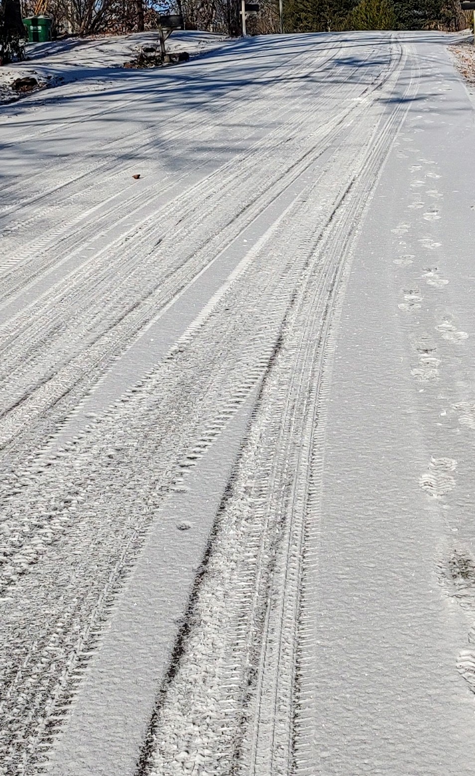
ncjoaquin replied to Buckethead's topic in Southeastern States
My snow covered road.
-
2024-2025 Fall/Winter Mountain Thread
ncjoaquin replied to Buckethead's topic in Southeastern States
Thanks Met! -
2024-2025 Fall/Winter Mountain Thread
ncjoaquin replied to Buckethead's topic in Southeastern States
I just took my wife to work. Crazy the difference depending on where you are. Solid snow covered roads in my neighborhood. For once, I was on the receiving end of the NW flow instead of the shut out end. -
2024-2025 Fall/Winter Mountain Thread
ncjoaquin replied to Buckethead's topic in Southeastern States
Definitely! -
2024-2025 Fall/Winter Mountain Thread
ncjoaquin replied to Buckethead's topic in Southeastern States
About an inch here. A nice blanket of snow, especially when the forecast was for absolutely nothing. -
2024-2025 Fall/Winter Mountain Thread
ncjoaquin replied to Buckethead's topic in Southeastern States
Roads are awful in Candler out Sardis Rd, Brevard Rd, Leicester Hwy. Snow and ice covered. -
2024-2025 Fall/Winter Mountain Thread
ncjoaquin replied to Buckethead's topic in Southeastern States
I saw someone on Facebook saying 240 through the cut was slick. Of course, that's Facebook, so take that with a grain of salt. Be careful!! -
2024-2025 Fall/Winter Mountain Thread
ncjoaquin replied to Buckethead's topic in Southeastern States
Surprisingly, snowing pretty good here in Candler. Already have a dusting. That may be all I get, but that is more than I expected. -
2024-2025 Fall/Winter Mountain Thread
ncjoaquin replied to Buckethead's topic in Southeastern States
I'll take neither and like it, lol. But seriously, I've not given up on mid-week yet. -
2024-2025 Fall/Winter Mountain Thread
ncjoaquin replied to Buckethead's topic in Southeastern States
It is going to be a magical week for you guys!!! NW flow is not in doubt. -
2024-2025 Fall/Winter Mountain Thread
ncjoaquin replied to Buckethead's topic in Southeastern States
Good call. Plenty of time for improvement! -
2024-2025 Fall/Winter Mountain Thread
ncjoaquin replied to Buckethead's topic in Southeastern States
It's getting close. Well, at least on the GFS. Here's to some good trends today for all of us. If it makes it to me, you guys are golden. -
2024-2025 Fall/Winter Mountain Thread
ncjoaquin replied to Buckethead's topic in Southeastern States
6z GFS is close to giving us a back to backer. Not there yet though. -
Don't look to GSP to increase your hope: Key Messages: 1) Breezy NW Winds Continue through Monday, Mainly Across the Mountains 2) Trending Drier Next Week 3) An Arctic Airmass Will Bring Very Cold Temperatures and Dangerous Wind Chills Next Week, Especially Across the Mountains Outside of the potential for some lingering NW flow snow showers along the NC/TN border Sunday night into early Monday morning. Breezy NW winds will continue through Monday before gradually tapering off Monday night. Models have been trending drier regarding any precip chances through Thursday. However, models are still remain inconsistent run to run so confidence on any potential for snow remains very low. Thus, capped PoPs to slight chance along/south of I-85 Tuesday into Tuesday night for now and lowered them compared to the previous update based on the latest model guidance. Outside of the Canadian, the GFS and ECMWF agree that dry conditions will linger through Thursday
-
2024-2025 Fall/Winter Mountain Thread
ncjoaquin replied to Buckethead's topic in Southeastern States
So, Sunday is a possibility, though it looks like I may get downsloped on that one. Canadian hammers us on Wed. Icon not bad next Wed. GFS with a little something on Friday. Surely, we can score sometime next week. -
The mother of cold for January in Asheville was in 77 averaging 24.8, almost 13 degrees below normal.
-
2024-2025 Fall/Winter Mountain Thread
ncjoaquin replied to Buckethead's topic in Southeastern States
Made it to 12.2. That is my coldest so far this season.