forkyfork
-
Posts
30,836 -
Joined
-
Last visited
Content Type
Profiles
Blogs
Forums
American Weather
Media Demo
Store
Gallery
Everything posted by forkyfork
-
i want to see storms over pa at 2 pm not 9 am
-
where is this from?
-
the 18z nam slowed the front down tomorrow which helps our chances for storms
-
outflow racing ahead. fail
-
aww the heat must be getting to you. have some ice water <3
-
call the temperature police
-
-

-
if you don't like the data just say it's bad
-
i personally sited this station
-
lol
-
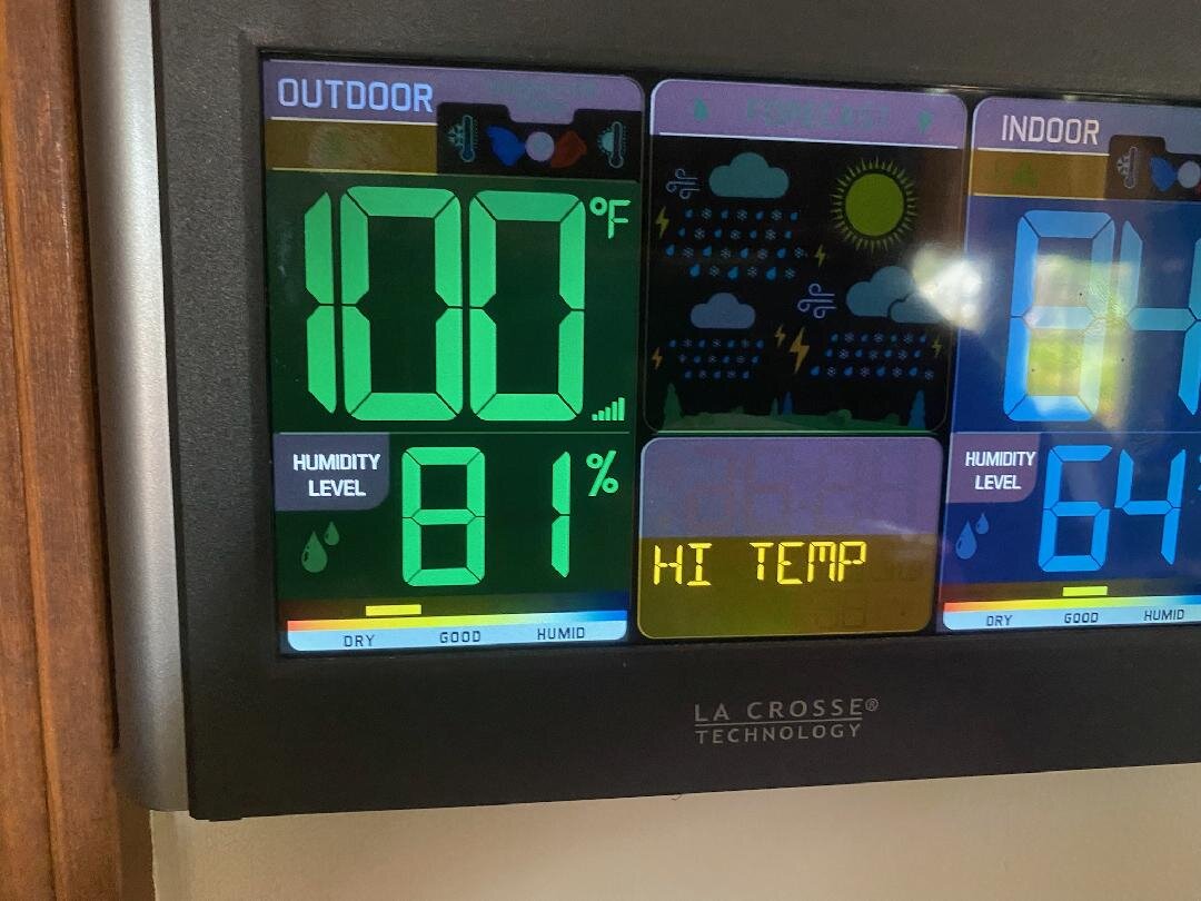
100 number 5 coming for me today. maybe i can get a 6th before storms tomorrow
-
they deal with it using air conditioning
-
monday could be a sneaky 100 before storms arrive
-
i think the sea breeze is causing a little compressional warming right before it passes
-
you root for high heating bills in the winter
-
is that how you're rationalizing the fifth hot summer in a row? remember when we got summers where 90 was a struggle? i do.
-
so you're triggered by other people's hot weather
-
every time you weenie me your dec average temp goes up by .1
-
remember when we got summers that struggled to hit 90
-
this month is 2.5 degrees warmer so far
-
kind of scary that we're getting these temps with such a blah upper level pattern. wait til we get a ridge like canada 2021 or what europe just had
-
third 100 in a row for me