

buckeye
-
Posts
8,771 -
Joined
Content Type
Profiles
Blogs
Forums
American Weather
Media Demo
Store
Gallery
Everything posted by buckeye
-
thanks, let us know if we need a helmet or a shovel
-
Toledo is reporting haze and 23. I wanted to see if the radar was true what it was showing and it apparently is. Looks like the precip is having a tough time getting into nw ohio and northern/northeastern IN. Looks like it's hitting dry air. Might be good sign for us https://weather.cod.edu/satrad/?parms=subregional-OH_RV-comp_radar-24-1-100-1&checked=map&colorbar=undefined
-
actually a pretty pultry sleet storm for here all morning. At least it's not pounding sleet, so I don't feel like I'm losing a ton of qpf to sleet. The precip along the ohio river moving towards cincy is what to look out for.
-
Definitely can see the push of cold dry air across IL and nw IN. Best precip still well sw of us. https://weather.cod.edu/satrad/?parms=subregional-OH_RV-comp_radar-24-1-100-1&checked=map&colorbar=undefined
-
I think back to some of our classic busts due to more mix and less snow then forecast, it seems many started out as a brief period of snow that transitioned to sleet. We are going through a slow transition of rain to frz rain to sleet and now we wait for snow.
-
pessimism is easy....optimism takes sack, (especially when it comes to winter storms in CMH)
-
-
I'm way more optimistic then some of you. Even if it's early afternoon before all snow, the snow should be falling at a good rate an base of ice and sleet. Also, the nam and some other models are beginning to show a longer duration with more energy lagging on the tail end. patience grasshoppers
-
Thank god you guys aren't ER doctors
-
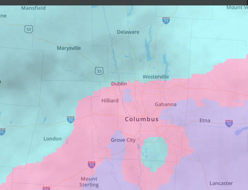
currently but not necessarily accurate. I'm just north of where it says westerville
-
Light sleet light freezing rain. Opened front door and sounds like a giant bowl of rice krispies.
-
How's that been trending?
-
Manitoba Mauler?
-
I'll be sleeping very lightly with my radar handy on my phone and this forum open. Looks like timeline is between 1 and 4 am for the change from liquid to frozen, then the million dollar question is when the frozen turns to flakes. I've seen some models have it as early as 5am and of course we have the rgem that really never changes over to all snow until evening. If it's snowing at 6am, we'll be in very good shape.
-
same, just doesn't want to change to snow....perpetual sleet/frz rain. Rgem is usually a decent short range model but can definitely have a warm bias in the very near term....hoping that's the issue
-
I still feel pretty good but I'd feel better if the rgem starts to play ball at 00z
-
As we get closer they widen the uncertainty, maybe they should go 1-8 and give themselves a 90% chance of hitting the mark.
-
that's terrible. Thanks for the update, I had a hunch it was covid and maybe they were removed from the ventilators at the same time.
-
Even the trash HRRR is a big improvement. I don't think we'll have a handle on snow vs. ice until tonight when the first overrunning slug runs through and we can see where the front makes it to for the wave following it. I've noticed there is more and more of a lull in precip showing up between the first and second wave, that lull might allow the cold air to progress a little more southeast.
-
Thanks
-
Who has a link for a good precip-type radar?
-
It's not really about incoming warm air, it's about dislodging warm air with Arctic air. The shallow air is going to cool quickly while the upper layers will take more time. That's why we have the ice threat. It's such a thread the needle situation where we are located. The overrunning further north is easy. It's what happens after that, that gets convoluted.
-
Pretty much
-
It's all good. This debate about splitting off the sub comes up every year. This sub is definitely Chicago to lower Michigan centric.
-
Gotcha KY and Minnesota are in our forum too, lol.


