buckeye
-
Posts
8,863 -
Joined
About buckeye

Recent Profile Visitors
6,611 profile views







-

2026-2027 Record-breaking El Nino
buckeye replied to Stormchaserchuck1's topic in Weather Forecasting and Discussion
WAD > CAD I'll take it -
Tuesday was insane here around cmh. Definitely most severe I've seen since the 2012 derecho. Also, there had to have been some imbedded weak tornados in the midst of everything because I find it hard to believe that straight line winds can flip cars on a highway, (it's not like they were high profile or trucks). I've also seen a lot of tree damage around the burbs where there were grouping of large trees that were completely snapped at the trunk and the bark looked like it was twisted off. Either way, what a day. Finally got business back on line. Tomorrow we might have another round but hopefully by me posting this I just jinxed it away.
-
If you could re-experience ONE winter event....
buckeye replied to cyclone77's topic in Lakes/Ohio Valley
1978 blizz hands down even though the snow amounts were nothing crazy here in mby, the wind and the rapid temp drop made that storm one for the ages. That was basically a cat3 hurricane over land. But what i would find fascinating is to see how the current day models would have handled that storm. How far out they would have begun to see it and when the severity/phasing aspect would have been latched onto. You look at a model like the ukie that loves to forecast phased bombs into the lakes....can't imagine what some of the outputs would have looked like lol. -
interesting, we are in the thick of it this morning and you are absolutely correct about the lack of bird songs
-
The media figured out the term ‘heat dome’ and now they’re using it ad nauseum like they do with polar vortex in the winter.
-
Looks like a typical stretch of summer heat to me. Seems when it comes to weather we’ve lowered the bar on what constitutes extreme.
-
2026-2027 Record-breaking El Nino
buckeye replied to Stormchaserchuck1's topic in Weather Forecasting and Discussion
Yea, clickbait, just thought the headline was so opposite this thread, I couldn’t resist -
2026-2027 Record-breaking El Nino
buckeye replied to Stormchaserchuck1's topic in Weather Forecasting and Discussion
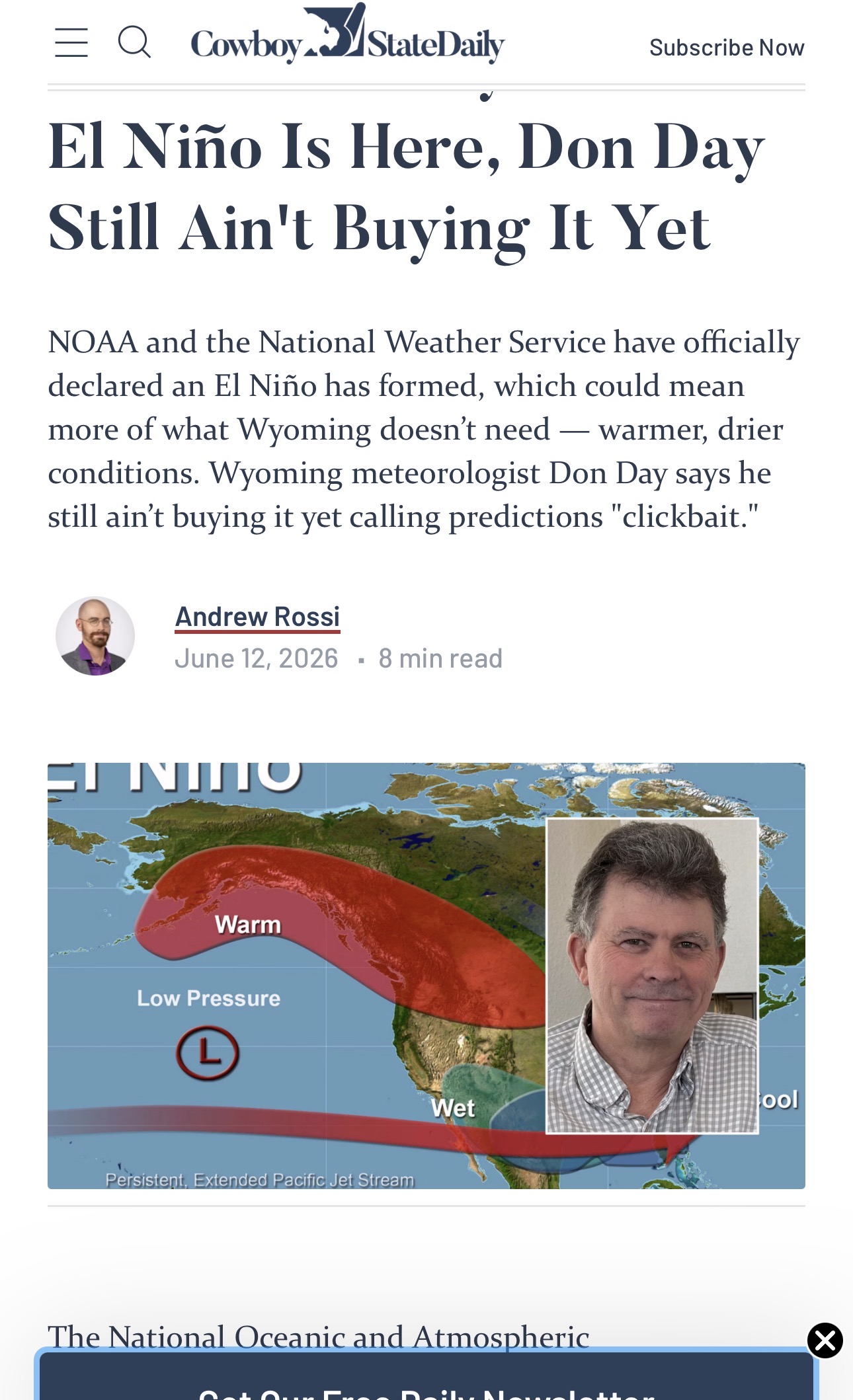
Don ain’t buy’n it
-
the storms locally on Saturday afternoon were the most destructive of the season, so far, (at least around the northern burbs of CMH). Out driving around for work today and lots of downed trees. A house on our street with moderate damage to the roof from a large tree going down. Once again, it always seems like our best severe comes when there's virtually no hype beforehand.
-
2026-2027 Record-breaking El Nino
buckeye replied to Stormchaserchuck1's topic in Weather Forecasting and Discussion
back at ya, sometimes i miss the old days when subs based on geography weren't a thing. ...sometimes -
2026-2027 Record-breaking El Nino
buckeye replied to Stormchaserchuck1's topic in Weather Forecasting and Discussion
Yea, a -5 departure for the winter in a place like Atlanta and southern apps probably implies some much below normal periods in there that if timed up with a nino-style stj can give them their freak snows. Meanwhile, during those same periods we're cold but watching the juice slide under us. Likewise, when a place like Columbus or Detroit sees a +5 departure for the winter in a nino, chances are that the cold periods are dry and the warm is wet. But like i mentioned in an earlier post, super ninos can definitely pack a surprise or two. -
at least he knows what village he lives in.
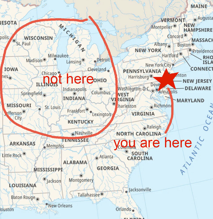
-
2026-2027 Record-breaking El Nino
buckeye replied to Stormchaserchuck1's topic in Weather Forecasting and Discussion
A super nino winter can also hold surprises and extreme events even though the overall backdrop is above normal temps. I think Cincy had it's greatest 24 hr snowfall in Feb of '98. Weird cut off low dropping snow to the south and rain to the north. It probably won't be completely boring and I'm sure there will be some fantasy storms to track. -
stand corrected ...I wouldn't hate that though.
-
yea. Can't wait for our 97-98 redux winter. 40's and rain