-
Posts
18,791 -
Joined
-
Last visited
Content Type
Profiles
Blogs
Forums
American Weather
Media Demo
Store
Gallery
Everything posted by cyclone77
-
Yellowstone
- 512 replies
-
- 3
-

-

-
Several nice bursts of snow pellets/snow showers/and rain as well. One moving through right now has dropped the temp about 5 degrees in 10 mins. Steep lapse rates today to be sure.
- 512 replies
-
34 here this morning. Looks like near 30 tonight, and a hard freeze likely on Monday morning. Other than today and tomorrow it doesn't look bad at all in the afternoons all week. May even make it back to near 70 on Friday.
- 512 replies
-
Pretty cool idea
- 512 replies
-
- 1
-

-
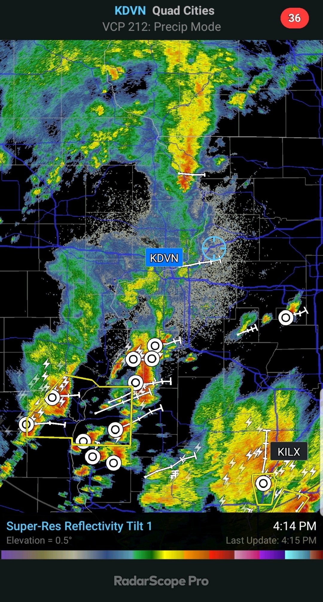
Made it to 76 this afternoon before the storms hit. Some nice backyard supercell action this afternoon as well.
- 512 replies
-
Multiple freezes possible over the next 7-10 days for much of this area.
- 512 replies
-
- 5
-

-
Made it to 71 early this afternoon before the boundary crashed back south. Back down to 63 now here, but still 78 at MLI. Elevated sup fired up right overhead earlier.
- 512 replies
-
- 1
-

-
Temps rebounded back up to near 60 in the QC after the cold/blustery morning. That sun coming out made a huge difference, didn't feel that bad at all even with the strong winds. Down below freezing tonight, so most of the flowering trees will be co ck blocked.
- 512 replies
-
La Crosse officially hit 90 last week, and have picked up around a foot of snow since yesterday.
- 512 replies
-
- 6
-

-

-

-
Snow aspect has been lamer than expected here. Just a few wussy bursts of wet flakes so far.
- 512 replies
-
Cold light rain and 37 atm. Quite the change from yesterday. Picked up exactly 1" of rain since last evening.
- 512 replies
-

Spring 2023 Medium/Long Range Discussion
cyclone77 replied to Chicago Storm's topic in Lakes/Ohio Valley
Thursday system looks pretty interesting. A strong warm front is gonna bisect the DVN/LOT cwas. Looks like one of those days where it'll be stuck in the 40s at Dubuque all day, while southeast IA basks in the tropical 70s with a severe threat. SPC (Broyles lol) has a risk way south in southern MO/AR, but will likely need to be expanded much further north in later outlooks. -
Picked up 0.57" of rain this evening. Had a brief period of sleet sized hail. Today was the 5th day in a row with an 80 degree reading at MLI, 4th day in a row here. Tomorrow night looks like a dusting of snow is possible on grassy surfaces.
- 512 replies
-
Hit 80 here today. Hard to believe it's gonna snow tomorrow after this long stretch of heat. Thunder getting louder as some garden variety storms are moving in.
- 512 replies
-
Hoosier sending up a smoke signal for the board to see?
- 397 replies
-
- 10
-

-

-
77 here with dews up into the mid 50s.
- 512 replies
-
The slasher (Thompson) from SPC has removed the slight from most of the DVN cwa for today. Looks like another 80 degree day today, but tomorrow should see some wet snow falling by later in the day. What a change.
- 512 replies
-
Kicked the house AC on for the first time this year. MLI hit 85 again, hit 84 here. Dews are creeping up towards 50, and will likely make it to near 60 tomorrow, so good time to test the AC. Trees have really exploded over the past few days. Even the later leafer-outers like the oaks are leafing out now.
- 512 replies
-
- 1
-

-
MLI hit 85, 1 degree short of the record. Hit 84 here for the warmest of the year to date.
- 512 replies
-
Well, we've gone a bit over a week without being in a moderate risk. I'm fiending for some more action lol. MLI hit 85 today, hit 82 here. Looks like more mid to upper 80s tomorrow. Euro shows wet snow here later on Sunday.
- 512 replies
-
- 2
-

-
Yeah that snow cover def makes a difference. Love to see a sounding at Aberdeen. Bet that temp jumps up very quickly just off the surface.
-
83 at MLI today. Trees are starting to pop.
- 512 replies
-
- 1
-

-

Spring 2023 Medium/Long Range Discussion
cyclone77 replied to Chicago Storm's topic in Lakes/Ohio Valley
If I had time I'd make a meme with Drago from Rocky 4 on it with that saying -
It's like summer out there today. MLI made it to 77. Feels pretty warm with the light winds and warm sun.
- 512 replies
-
- 2
-

-
Temps overachieving today, with readings near 70. Dews in the lower 20s making for humidity values in the teens percentage.
- 512 replies

