cyclone77
-
Posts
18,900 -
Joined
-
Last visited
Content Type
Profiles
Blogs
Forums
American Weather
Media Demo
Store
Gallery
Everything posted by cyclone77
-
Another 0.5" yesterday and overnight, which brings us to 19.9" in the past 6 days. Last season the whole seasonal total was a bit over 22", so we've nearly matched that in just 6 days lol. MLI has had nearly 26" in the past 6 days. Officially 16" OTG there and also at DVN. Prob 14 inches or so here.
-
-16 here with a wind chill of -43. Should warm back up to a balmy -5 this afternoon.
-
Just dipped below zero to -1. Looks like we won't be back above zero until maybe Tue afternoon briefly.
-
Near white-out right now with heavy snow and strong winds with this mini wave of snow. Would not want to be traveling anywhere right now.
-
-13 tonight, -20 Mon morning, and -17 Tue morning here. Gonna be a brutal stretch.
-
Final storm totals, MLI 15.4", DVN 14.9", and another 0.3" after midnight for 14.1" here. I believe MLI made it to 2nd place for highest daily snowfall total.
-
One last final burst of better rates here on the back side. Man, what a storm. Had pretty low expectations after last system's shenanigans. Knew the front end thump would be okay, but what followed that was questionable. Residual backside stuff gave us another 0.8" this evening to bring us to 13.8". Biggest dump since GHD2.
-
Wow, -70 wind chills? That'd be like -100 on the old wind chill calculation lol. Wow.
-
Last double digit snowfall was Nov 2018 which gave us around a foot IIRC.
-
13 on the nose here. Thought it was mostly over but a little batch moving in now.
-
Luckily a decent amount of snow is breaking off the outer branches on the trees now that the wind has kicked up a bit. Glad the high winds that are coming in later aren't coming in too abruptly.
-
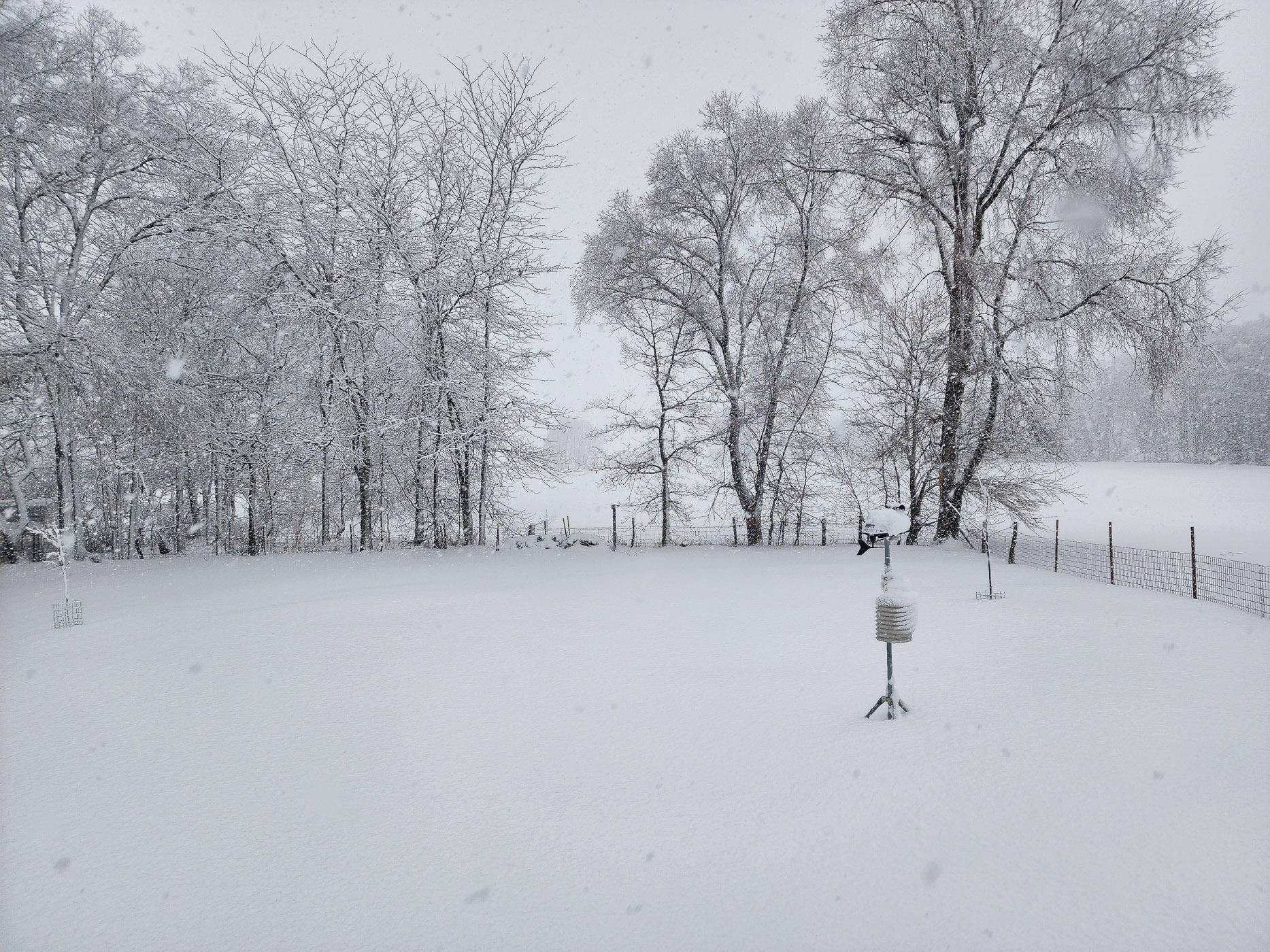
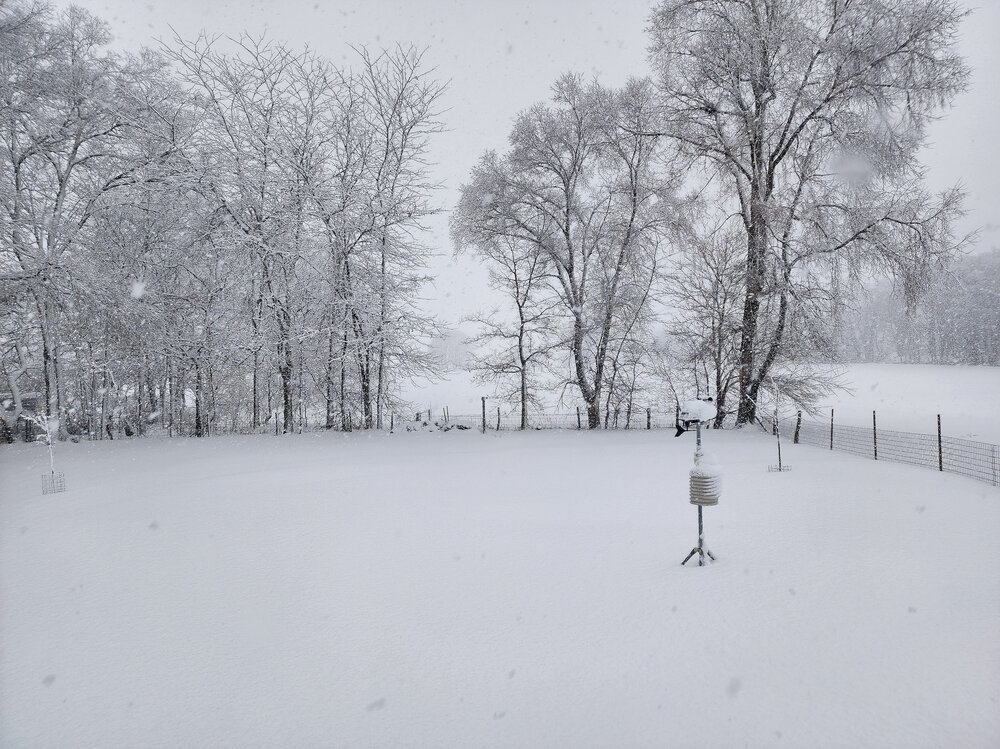
Quick pic out back window
-
11.3" so far here as of a bit ago. Snow continues...
-
Pouring cottonballs under these 30-35 DBZ returns. It's been pouring large dendrites since mid-morning, with very large aggregates at times, like right now. The first wave's 5" was a much lighter/fluffier snow. Felt considerably different compared to the 4:1 slush-fest on Tuesday lol. With this main wave the snow is considerably more wet, probably <10:1 type stuff, but with the huge aggregates it's stacking up better than a sub 10:1 snowfall. Had to work all morning. Roadways are mostly vacant as most peeps seem to be hunkering down. Roads really aren't too bad where the plows are keeping up, as winds are pretty wussy right now. A bit worried for tonight when high winds hit. Trees/powerlines are caking up like a mofo.
-
Now this is a storm! At least 10" and still pouring fatties. Sting from last system is toast.
-
Already destroyed earlier week's storm, with 5" down already here. Some lightning showing up just west of Chicago.
-
Still no real idea how much to go with here. That last storm system really skewed me into a more negative mindset regarding expectations lol. Looks like a good chance at a quick 3-5" later tonight with this first portion. The big question is how will things go tomorrow. At this point I'll just consider whatever we get tomorrow a bonus.
-
NAM/HRRR both give us more snow by sunrise than all of the last storm lol. Really solid first wave of precip later tonight looks like.
-

Winter 2023/24 Medium/Long Range Discussion
cyclone77 replied to Chicago Storm's topic in Lakes/Ohio Valley
Verbatim we go from a morning low of near -20 Tuesday to a morning low of near 30 just 2 days later Thursday AM on the Euro. -
I'll go 3-5" here, with most of that with tonight's wave. Looking like tomorrow's will be a graze job after the long drizzle/very light snow lull.
-
FYP
-
The thing to worry about here is that tomorrow night's wave performs best off to the northwest, and then the main wave of precip sort of just grazes us later Friday after a long lull with drizzle/very light snow. If we can do well enough with the first wave then being grazed by the main one wouldn't be so bad. Hopefully the globals are correct in showing more of widespread distribution of heavier snowfall.
-
Looks like a few flurries at best here tonight. Our dense snowpack has settled back to 3". Hope we can add a few more inches later tomorrow night and Friday before the cold hits.
-
You guys are really gonna max out this incoming arctic blast with such deep snow cover.
-
First call for here 1-8".