cyclone77
-
Posts
18,904 -
Joined
-
Last visited
Content Type
Profiles
Blogs
Forums
American Weather
Media Demo
Store
Gallery
Everything posted by cyclone77
-
Almost 40 degree temp rise today to 77 from the morning low of 38. The ground fog/very shallow inversion mixed out just after sunrise skyrocketing temps 15 degrees in a little over an hour.
-
Pesky ULL kept clouds overhead all day keeping temps in the 60s. Should be mostly 70s and 80s from tomorrow on. Hope storminess returns 2nd half of month.
-
Got down to 38 here this morning.
-
Nice thing about May is the sun will make it feel much better than the actual temp if it's out.
-
Underperformer here with only 0.38" overnight. Looks pretty dry the first half of May.
-
Stayed in the 70s through 3am, but have since dropped back into the 50s with gusty westerlies. Picked up 0.00" rain overnight.
-
Looking like a giant bust across the board.
-
Warmest day of the year so far today with 86 here, DVN and MLI both hit 87. Looking forward to some late night Iowa sloppy seconds.
-
Poor timing for the most of the DVN cwa with this.
-
May have some freeze potential next weekend around here.
-
0.36" last night/this morning here.
-
81 here today, 80 at MLI. A few lazy showers popping up just to the southwest.
-
DVN confirmed 9 tornadoes from Sunday evening. Picked up 0.65" this morning. Up to 3.46" now for April.
-
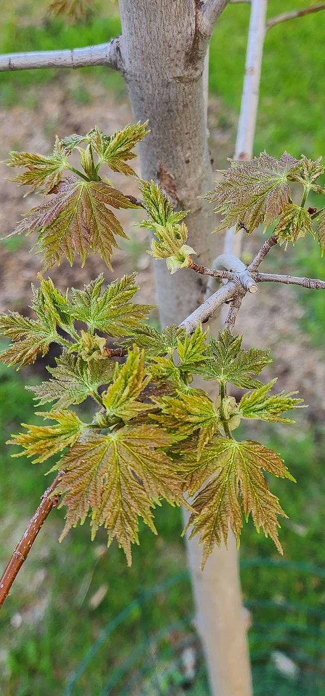
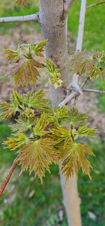
Always nice to see everything get reborn again every spring. New leaves on one of the Celebration maples starting to open up today.
-
Nice. How much do you have for the month now? Sitting at 2.80" here so far.
-
Had a few tors pass southwest and southeast of here earlier. Made for an exciting evening. Picked up 0.74" rain today.
-
Good luck! Post some pics when u can.
-
^Looks like typical northern Illinois potholes to me.
-
Same here. Iowa storms crapped the bed before reaching the MS river. Towers going up overhead now as the cold front is passing by atm. Should fire up some storms about 15-30 miles east of here in a bit.
-
Nice soaker today with 0.81".
-
Looking forward to watching the cumulonimbus boil upward on the eastern horizon Fri afternoon.
-
40-45mph winds much of the day again today.
-

Fall/Winter '24 Banter and Complaints Go Here
cyclone77 replied to IWXwx's topic in Lakes/Ohio Valley
F- final grade here. No need to go into the deets, everyone is well aware of them by now lol. -
I'm ready for some boomers. Been a very quiet spring so far here for storms.
-
Spring 2025 Medium/Long Range Discussion
cyclone77 replied to Chicago Storm's topic in Lakes/Ohio Valley
^ Poor timing again for the DVN cwa