
cyclone77
-
Posts
18,993 -
Joined
-
Last visited
Content Type
Profiles
Blogs
Forums
American Weather
Media Demo
Store
Gallery
Everything posted by cyclone77
-
The point has 13 for a high for MLI tomorrow, so with today's record high of 63 it may be 50 degrees lower on tomorrow's max if they can get to 13 by midnight this eve. Pretty impressive change in conditions.
-

Winter 2020-21 Medium/Long Range Discussion
cyclone77 replied to Hoosier's topic in Lakes/Ohio Valley
Would rather have the main storm of course, but I'd be fine with a decent front-end thump to get us our first incher of the season. -
New record high today at MLI of 63. Hit 61 here. MLI hit 52mph earlier today. Been very windy lately.
-
This morning's Euro snowfall forecast through the end of the year nearly perfectly illustrates mostly what we've seen so far this season. Illinois dead zone. Definitely a very frustrating start to the season to be sure.
-
MLI and DVN both had peak gusts of 47mph this afternoon, had 46mph here. Burlington hit 53mph.
-
If it ain't gonna snow I'm ready to mow.
-
It would be a bit depressing if we didn't have our period of flurries to look forward to Wednesday night.
-
DVN issued a wind advisory for parts of their northern cwa, but they need to include much more of their area. Getting gusts over 40mph already here, and the windiest time frame is still a ways away.
-
FYP.
-
Had a period of virga overnight. Mid-upper 40s with a fresh 40mph westerly breeze coming later today. A nice November afternoon indeed.
-
Winter 2020-21 Medium/Long Range Discussion
cyclone77 replied to Hoosier's topic in Lakes/Ohio Valley
February will be rockin' -
Was in the IL QC earlier this evening. There's still snow on the ground leftover from last Saturday's snow even after a few days in the 40s. There's actually more snow leftover on the ground there than we've had all season to date here.
-
Winter 2020-21 Medium/Long Range Discussion
cyclone77 replied to Hoosier's topic in Lakes/Ohio Valley

-
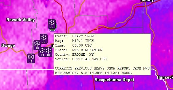
Posted in Dec thread, but there's a report of 5.5" in one hour at BGM.
-
Winter 2020-21 Medium/Long Range Discussion
cyclone77 replied to Hoosier's topic in Lakes/Ohio Valley
New Euro continues to look bleak for the western half of the sub through late Dec. Luckily March and April will make up for the no-show December per usual lol.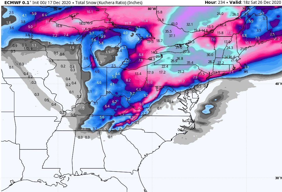
-
Not in this sub, but some extreme rippage going on right now out east. One report near Binghamton NY had 4.5" in the past hour, and another had 5.5". Extremely impressive especially for it coming from system snow and not LES.
-
I believe I saw a flurry whiz by walking out to my vehicle after work.
-
Have flurries in the point tomorrow and tomorrow night. Mood flakes to at least make it look a little more like winter at least.
-
Winter 2020-21 Medium/Long Range Discussion
cyclone77 replied to Hoosier's topic in Lakes/Ohio Valley
Wake me up in January. -
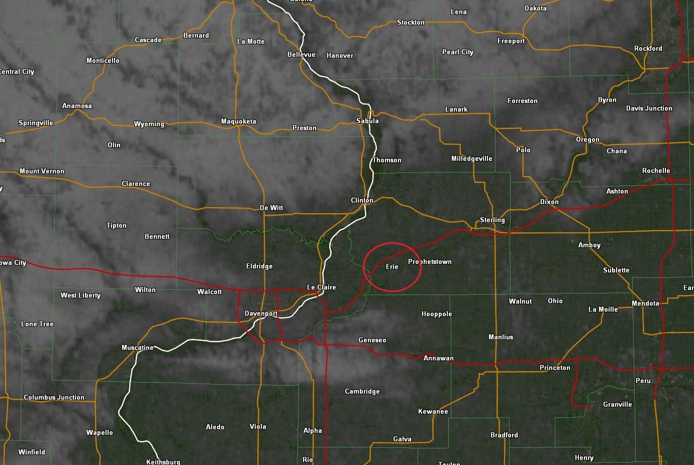
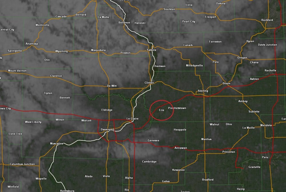
Current snow cover. Illustrates the 3-5" that fell just south of the QC sat, and nada here. Cruel, cruel storm system lol.
-
Fresh snow cover allowed Monticello IA to get way down to 3 above early this morning. Dubuque got down to 7.
-
That was at work but I got to watch all of it fall which was great.
-
A small area of light snow came through earlier this evening and brought our first accumulation for the day with 0.3". Enough to bump us over the 1" mark for the season.
-
Yeah today was fantastic. MLI set a new record high of 62 today beating the old one of 60. Hit 59 here. Took the opportunity to plant one more tree (willow oak).
-
MLI and ORD are tied at 0.7". All of that 0.7" at MLI fell in Oct, and all of the 0.7" at ORD fell in Nov. Kind of interesting/depressing lol.