cyclone77
-
Posts
17,843 -
Joined
-
Last visited
Content Type
Profiles
Blogs
Forums
American Weather
Media Demo
Store
Gallery
Everything posted by cyclone77
-
Thunderheads to the east/northeast, nada here. Hit 86. Other than the tropical system this month has been pretty benign here.
-
Another day with towers in the distance but nada here. Only 0.64" since the 10th. Looks like tonight/tomorrow rains miss south, and Wednesday's miss east again.
-
91 here so far today, 5th 90+ of the year. MLI languishing as per the new norm for them at only 88. Only 3 AOA 90s there this year.
-
On days like this it's always cool to think back to March/April when we're praying for at least 1000J/kg for a setup lol.
-
Highest report I've seen is 9.11" in Glenwood City WI. That's an insane amount of rain for one night. EDIT: Several personal weather stations in and around River Falls have 6-7" recorded.
-
Pretty sultry already this morning, sitting at 85/75/94 before 10am. Could definitely go for a cooling downpour later on.
-
My apologies to the chasers in that area. I jinxed you.
-
Not quite in our sub, but it looks like there's a good shot at some very picturesque supercells out in northwestern IA later this afternoon/early evening. CAMs have been adamant in developing one or two large slow moving sups in the wake if this morning's MCV. Large cape and nice swooping hodos (albeit a bit short). Not so sure about tor potential, but would still be great to be on those sups after they mature. Kind of kicking myself for not being out there at the ready.
-
We've been wearing masks 8+hrs a day at work the last 2 1/2 months, so throwing on a mask to run into a store quick is no biggie to me. Hopefully someday we won't need to wear them, but that looks to be a long way off.
-
Two outflow boundaries just collided nearly on top of us, so lets see if we can pop a good storm overhead in the next half hour or so.
-
12z Euro has dews in the 70-75 range for the foreseeable future for this area.
-
Getting some light anvil rain now. Up to 0.22" for the event.
-
Today's setup ended up being a dud for this area, with only 0.20" of rain. Was nice to see the storms erupting overhead though. Definitely a lot better than a withering blob of Iowa crapvection in the late evening.
-
That area eventually did grow/organize, and is now the severe storm cluster southeast of Sterling.
-
Had a brief period of 35-40mph wind gusts from the cell that passed just south a short while ago. If that did that, then I can imagine there's some pretty good wind potential underneath one of the severe ones.
-
In sort of a convective hot spot at the moment. Towering cumulus filling the sky, with a large thunderhead just about to move in from the southwest, and another nice one in the northeastern sky. Getting bursts of very large rain drops from passing showers underneath some of the updrafts. This whole area is likely to fill in and organize as it heads east and through the rest of IL as the eve goes on.
-
Wish that sounding was complete to see what the cape was lol. AFA convective temp I'd guess the mid-level speed max and nearby MCV should help lower that a bit.
-
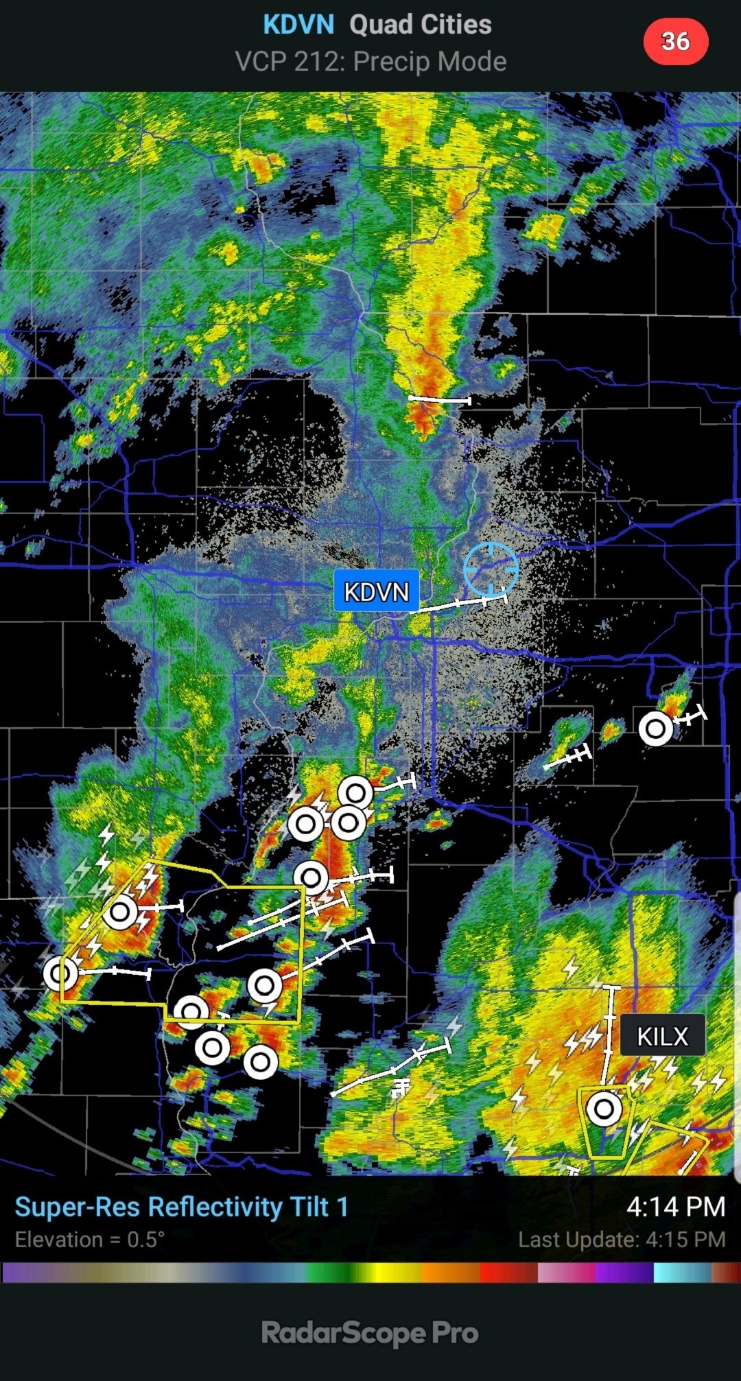
Some nice towers in the northern/northwestern sky. Looks like an extension of the cells that have already taken off, and are severe warned southwest of Rockford. So that looks to unzip southwestward towards the Clinton Iowa area, and possibly further west if it keeps unzipping. Sitting at 83/72 here with a robust southwest breeze. Edit: 53kft tops on the big warned cell northwest of Oregon IL.
-
Man, Broyles is everywhere. What, does he work like 70hrs a week? lol
-
Timing looks pretty decent for the DVN cwa with this. This doesn't look to be another case of withering Iowa sloppy seconds.
-
Yeah I'm digging it. As I've gotten older I've grown less fond of the humidity on a daily basis anyway. Still appreciate the extreme 80 degree events, and of course love the humidity when there's a decent convective setup. Other than that it can stay in the 50s all summer as far as I'm concerned lol. Corn crops around here are looking fantastic. Most fields are waste/stomach high now, with only some areas of retardation where there was standing water back in May/early June. As long as we get regular moisture the rest of the growing season it should be an excellent crop around these parts.
-
lol

-
Can see rock hard looking towers/thunderheads on the eastern/southeastern horizon from here. Looks like a nice event for areas to the east.
-
.33" here this morning. Lots of clouds in place limiting instability so I'm not optimistic we'll see much today.
-
Some nice towers bubbling up this afternoon. Nice little pulsers popping now and again. Working outside on a project this afternoon, feels a little muggy with little to no wind and dews pushing 70. Some outflow from one of the cells would be a plus.