

nwohweather
-
Posts
3,733 -
Joined
-
Last visited
Content Type
Profiles
Blogs
Forums
American Weather
Media Demo
Store
Gallery
Everything posted by nwohweather
-

Mid to Long Range Discussion ~ 2022
nwohweather replied to buckeyefan1's topic in Southeastern States
Yeah it's safe to say as this planet warms places like Louisville, Knoxville & Cincinnati have peak weather. Down here it's more of a game of who can run their AC the least -
Mid to Long Range Discussion ~ 2022
nwohweather replied to buckeyefan1's topic in Southeastern States
Why are you mad lol? I'm all for dry, sunny weather -
Pollen all over the truck this AM in Charleston
-
I appreciate you guys having a train of low pressures this week. We stay in the warm sector and rain free which should keep temps around 80° thru Friday
-
Mid to Long Range Discussion ~ 2022
nwohweather replied to buckeyefan1's topic in Southeastern States
Rising heights with this incoming high pressure and that approaching low later this week is going to bring a hell of dose of Summer. Wouldn’t be shocked to see upper 80’s on Thursday here. Time to stock up on Xyzal lol -
Severe Weather Outbreak 02/16-02/17
nwohweather replied to Tallis Rockwell's topic in Central/Western States
That's what I'm leaning more towards. SB & MLCAPE are solid, condensation level is basically on the ground, and both shear & SRH are pretty high. I will say though it's lining a bit much this early in the game and maybe pushing too far east of where the best dynamics are -
Severe Weather Outbreak 02/16-02/17
nwohweather replied to Tallis Rockwell's topic in Central/Western States
Man if the instability can deliver, these hodographs are pretty ominous -
I could see that dry slot & mixing cut it down a bit, but 3-6" is a safe call for areas north of US 24/Maumee River. It's going to be a heck of a cutoff though, could see 5" in Toledo and 1" in Fremont
-
If the instability can get a little higher than expected, she’s gonna absolutely let rip tomorrow. Probably gonna be a damaging wind event with a few tornadoes, but there is solid potential with these hodographs. It only takes one
-
Mid to Long Range Discussion ~ 2022
nwohweather replied to buckeyefan1's topic in Southeastern States
It's almost like something is changing... -
Mid to Long Range Discussion ~ 2022
nwohweather replied to buckeyefan1's topic in Southeastern States
I wouldn't live in North or Central AL/MS without a basement anymore. Just absurd how many times they're under the gun annually anymore, I didn't even deal with this in the Midwest -
Maybe a little LE there in Toledo with that little notch?
-
I like 3-6" north of the Maumee River
-
For NW Ohio I’m going 3-6” north of US 24 and 1-3” of slop south of it
-
Wow, what significant differences in the GFS and Euro for this close
-
Mid to Long Range Discussion ~ 2022
nwohweather replied to buckeyefan1's topic in Southeastern States
Looks like Spring is definitely trying to make a run at things this week. I could absolutely see us hitting 80 on Thursday here for inland Charleston -
Definitely a little bit of a flooding threat there in NW Ohio to watch for
-
Mid to Long Range Discussion ~ 2022
nwohweather replied to buckeyefan1's topic in Southeastern States
I know many here root for winter but I am looking forward to this week quite a bit. It’s about time we get back to nicer weather -
Well within that 10-18” call. Imagine if it turned over there even 3 hours earlier, could’ve definitely been hitting that upper boundary of the forecast
-
I'll take it
-
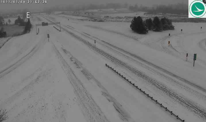
Wow, still all of these counties by the lake have closed their roads in Ohio… Erie County Hancock County Huron County Ottawa County Putnam County Sandusky County Seneca County Wyandot County
-
Sounds like the worst of it is definitely from Fremont eastward
-
I'm shocked to hear so little from folks in NW Ohio. Police are closing the roads in the eastern portions of the area and conditions look horrible. As I said yesterday, don't worry folks it's going to come
-
Looks like from Sylvania to Airport Hwy they're getting some solid snows, but Maumee shows rain still. What a hell of a gradient
-
You need to call Safelite sir


