

paweather
-
Posts
10,339 -
Joined
-
Last visited
Content Type
Profiles
Blogs
Forums
American Weather
Media Demo
Store
Gallery
Posts posted by paweather
-
-
2 minutes ago, canderson said:
I'm excited to see mood flakes tomorrow. Maybe even sticks on car rooftops that haven't been driven in a few hours.
I'm honest. I haven't seen snowflakes but four or five times this year. Take the highlights.
Yep I would rather see flakes coming down and melting then raindrops.
-
 1
1
-
-
13 minutes ago, pasnownut said:
IMO the Monday storm could be the best one to hang your snow hats on....
At least is a miller A coming from the south and staying under us. Best upside chance at big fun me thinks.
After that NAO heads for neutral, and no other overwhelming signs to offset persistence of the season.
GFS still way south of Euro, so a consensus blend still give this one a chance.
I'm hanging my snow hat on next winter. LOL
-
 1
1
-
-
Yippeeeee!


-
1
-
-
4 minutes ago, Bubbler86 said:
I guess the model bad performance really has people down...both the cmc and gfs have snows.
Sorry I am disappointed. Down here we will see flakes not accumulate too much tomorrow into Monday. C and N Pa will do well it seems. Best chance to the end the season is 210 through 216 on the GFS
-
Around 210, 216 is the time to watch for on the GFS.
-
Just now, Atomixwx said:
Say it with me: It's over lol
Sent from my motorola edge 5G UW (2021) using Tapatalk
It's over. LOL.
-
2 minutes ago, pasnownut said:
I've been blowing the trough axis horn for a while now, as thats been my worry. While we have the NAO helping, the persistent ridging out in front of the events is still hurting our chances. Yes, the boundary layer has dropped notably closer, but its still not enough for many in our group. That's all I've been trying to say. Northern crew should do ok/well. Yay for them.
IMO thermal profiles while better, are still marginal (looking at 850's/2m temps) and knowing that its almost mid march. I'm just tempering expectations through this period.
Of course the snowhound in me wants this to happen, but the realist has hold of the leash.
I think the writing is on the wall the rest of March.
-
26 minutes ago, pasnownut said:
When the GFS makes it inevitable tick north, it'll be the ultimate kick in the kahoonas for Friday. At least it was "closer to something"

For the sun/monday deal, its already slipping away for some/many. Not sure where it ends up, but at least its something to track??
Im trying to put a + spin on reality.
Models teased us as usual or at least for me. I doubt we get anything other than a few mood flakes.
-
2 minor events if lucky then suppression then who knows Spring!
-
Just now, Bubbler86 said:
Out in 10 day land, storm forming in the SE with a slightly negative trough starts to climb toward PA where temps are in the single digits and teens.
Superstorm 2?
-
-
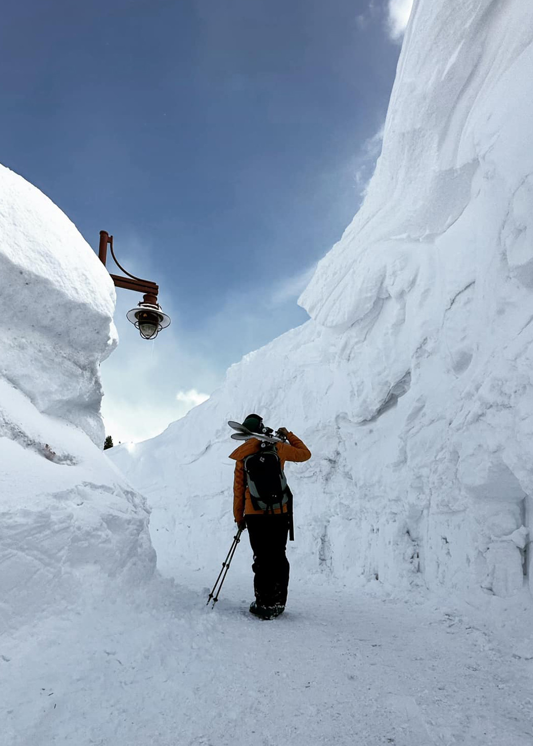
7 minutes ago, Itstrainingtime said:
That was taken yesterday in town - in advance of the 5-7' coming starting tomorrow...
Ski area is now making plans on possibly being the first U.S. ski resort to not close during a calendar year.
How much are bags over 50 pounds?
-
How much are bags over 50 pounds?
-
1 minute ago, Itstrainingtime said:
Okay...time to fess up and come clean...I was NOT in meetings this morning. A friend took this pic of me out on my morning walk:
Nice dream!
-
1
-
-
Now we go into suppression.
-
15 minutes ago, Itstrainingtime said:
I was looking at TT.
-
1 minute ago, Atomixwx said:
Low pressure going over Clarion and it's snowing in State College, let alone Harrisburg? How many times has that happened?
Sent from my motorola edge 5G UW (2021) using Tapatalk
It's March
-
3-4" all of LSV storm 1.
-
Snow at 54 all of LSV on the EURO
-
14 minutes ago, Itstrainingtime said:
Read as you desire and have time:
https://www.millersville.edu/weathercenter/forecasts/weather-discussion.php
I like it everything on the table!
-
1 hour ago, Bubbler86 said:

Always something to make me happy!
-
1 minute ago, Bubbler86 said:
It just never really develops though we do get some snow.
Nope yeah well another way to disappoint us. So much potential and it fades.
-
the Low is in GA. Geezus.
-
1 minute ago, Bubbler86 said:
Snow breaking out in SW VA and West Virgina Sunday afternoon. Low positioned in Central TN.
Lots of moisture.


The Ides of March end of Winter 2023
in Upstate New York/Pennsylvania
Posted
I can always come back in