

paweather
-
Posts
11,418 -
Joined
-
Last visited
Content Type
Profiles
Blogs
Forums
American Weather
Media Demo
Store
Gallery
Everything posted by paweather
-
It looks like per the MA forum 12z EURO/EPS says next week will start looking interesting.
-
Mid month on the 12z GFS has an interesting evolution. It is a long way away but that is when I think PSUHoffman was also talking about (with the Mag and Showme posts today) the pattern kicking in ripe through February.
-
Thanks Mag! Great write ups both of you.
-
Excitement thanks for the post.
-
Happy Hour bringing back the January 3rd idea of course too warm right now:
-
GFS model has backed off a bit for SCPA on the ice threat 0z and 6z both show the high to the north being pushed out quicker. We will see what today brings.
-
Interesting a little Ice Storm on New Years:
-
Thanks Bliz and Mag I was really hoping there would have been something to track over the holidays.
-
It should be interesting after Thursday’s rain.
-
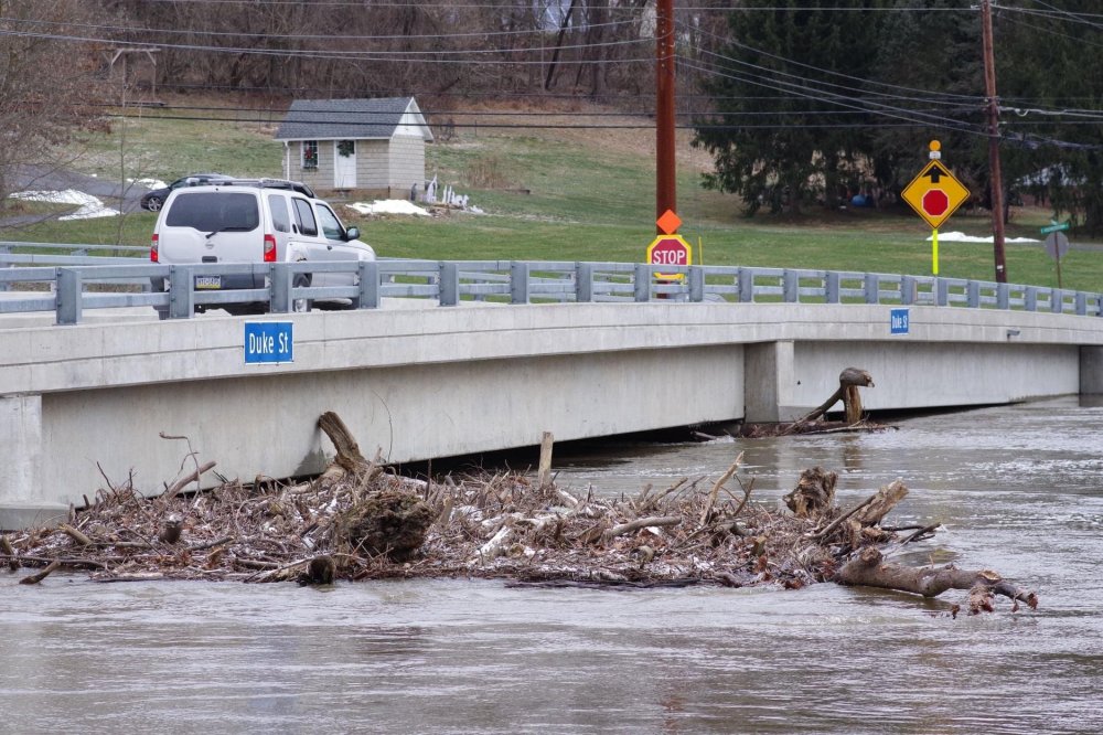
Swatara Creek near Hershey this morning:
-
Looks like a repeat from Christmas Eve on NYE.
-
Wow!!! What a surprise.
-
Thanks Blizz! Let’s hope.
-
Puking snow! Oh dang sorry rain
-
Agreed. This front is hardly making it to the east all day with a surge of moisture continuing to come up from the south.
-
Just plain crazy. Hope you make out OK!
-
That is insane given how low the river has been. The stream of moisture fetch from the gulf up to the East Coast is also insane.
-
Merry Christmas, Everyone! Let’s hope for a Xmas gift in the word of snow the next couple of weeks.
-
It’s called 2020.
-
Yep your exactly right about that! No matter what happens bring on 2021!
-
Let's hope next week brings a snow bang to 2020.
-
That is a nice heart.
-
Yeah, we don't usually do well with post frontal snow even if it is modeled. Lots of rain for sure.
-
This artic front has been modeled for days since last week, this means business going to bring Christmas in with a bang both a lot of rain and maybe some snow on the backside.
-
Yeah, Even this 999 Low off the coast doesn't match the precip shield you think it would have and cold air available that is why I posted it.


