

paweather
-
Posts
10,467 -
Joined
-
Last visited
Content Type
Profiles
Blogs
Forums
American Weather
Media Demo
Store
Gallery
Posts posted by paweather
-
-
6z GFS is interesting in the timeframe Blizz is talking about doesn't show snow yet but the pattern is looking ripe. See what 12z has to say.
-
4 hours ago, Blizzard of 93 said:
As we head towards the end of the month, the PNA looks to go positive, which would put the trough in the east. The pattern looks to get active which could present us with winter storm opportunities.
The 6z GFS showed one of those opportunities during the first week of December. Let’s just try to move this storm 50 to 75 miles to the east to get all of us in the jackpot zone!


Ahh what a sign of relief! Blizz first snow maps. Thanks my man, let’s hope for many more of these as met winter begins
-
14 hours ago, Blizzard of 93 said:
No, that fantasy storm looks like a widespread front end CTP 3 to 6 inch special ending as a mix. The 1036 High over PA just needs to hold in place a little longer to deliver 6 + of snow to all of us! Let’s lock it in!
Ok, back to reality...It’s great to see Op runs taking us into early December!
Love it!
-
Welp 384 12z GFS setup looks good.
 But looks like a cutter:

-
43 minutes ago, Itstrainingtime said:
Geez, a lot of medium to long term guidance suggests that the pattern is ripe going forward...
...for it to stay pretty quiet in here.
Yeah GFS is really nothing but a cold shot after the Black Friday rain event if it holds. Pretty good cold shot but nothing more than that. Enjoy the weather it is the only weather we got.

-
Everything on the 12z GFS is transient cold shots and mainly dry through the first of December. Come on now, I am ready to track!

-
Still Active!

-
 1
1
-
-
Per 12z GFS maybe in 10 days we have a more winter like feel.
-
15 hours ago, Blizzard of 93 said:
Yes, exactly!
Cold in early to mid November usually does us no good in the snow department in the Susquehanna Valley.
I too will be rooting for a pattern change closer to Thanksgiving when a colder pattern can have a better chance to produce some snow.
I agree, just being impatient. LOL. I hope mid month we get the change to colder fall weather. I am ready for your maps Blizz!
-
 1
1
-
-
Welp a boring weather patter per GFS for a while. Some rain @ 162. but Come on Mother Nature we need excitement especially with COVID, and Election and everything else! :-)
-
1 hour ago, canderson said:
So the next week is basically late September.
Yep it seems like. The pattern needs to do a card shuffle again.
-
No forecasters needed for the next week. Must be their bye week.
Mostly clear, with a low around 34. West wind around 6 mph becoming calm in the evening.WednesdaySunny, with a high near 64. Calm wind becoming south 5 to 9 mph in the afternoon.Wednesday NightMostly clear, with a low around 39. South wind around 5 mph becoming calm in the evening.ThursdayMostly sunny, with a high near 66. Calm wind becoming south 5 to 7 mph in the afternoon.Thursday NightMostly cloudy, with a low around 43. South wind around 6 mph becoming calm in the evening.FridaySunny, with a high near 67.Friday NightMostly clear, with a low around 44.SaturdaySunny, with a high near 69.Saturday NightMostly clear, with a low around 45.SundayMostly sunny, with a high near 68.Sunday NightPartly cloudy, with a low around 49.MondayPartly sunny, with a high near 68.Monday NightMostly cloudy, with a low around 54.TuesdayPartly sunny, with a high near 70. -
This pattern needs to change, I don't want another mild Thanksgiving. Please.
-
1 hour ago, Superstorm said:
Super La Niña and WAR
.true that but I want something to track! The next 2 weeks look bad.
-
-
52 minutes ago, Itstrainingtime said:
At the very least, there's very little chance of any precip through the remainder of this week.
Yep nice Fall Days this week.
-
59 minutes ago, pasnownut said:
I'd sure like to tell a few people to go fly one !!
Cant wait for tomorrow to be over. I'll be up north for the rest of the week, and am glad of it. Limited cell...NO TV...just light music in the background...if at all.
I wish I could do that! Good stuff it is for the best. What about the liquid? Beer, correct? :-)
-
1
-
-
3 minutes ago, pasnownut said:
this weather blows..........
It's Kite Season!
-
 1
1
-
-
Looks like per GFS we are back to dry for the next 2 weeks.
-
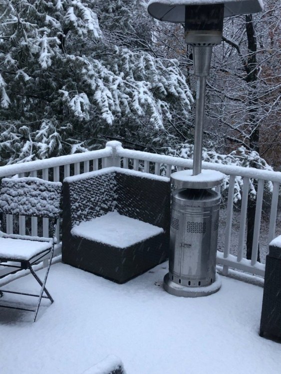
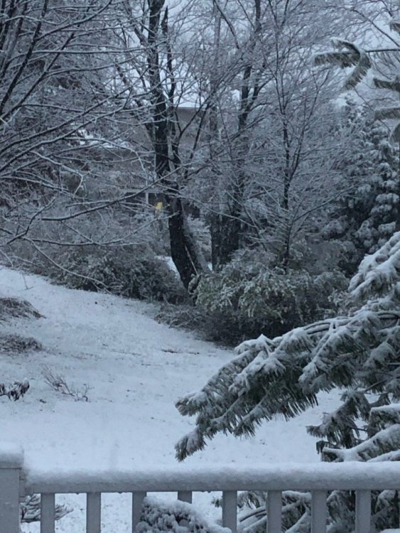
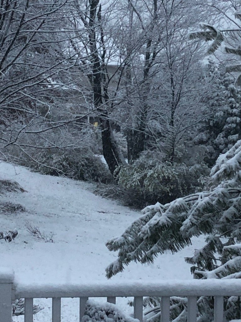
Snow Flurries, Wind, Mag's pictures this morning now I am excited! I just need Blizz's Snowfall maps and we are ready, set, go.
-
2 hours ago, Greensnow said:
And so it begins up here in Clarks Summit
Thanks for sharing saw pictures posted by NWS State College as well. It is a good start for you folks up north.
-
19 minutes ago, MAG5035 said:
Some lighter rain currently, with some heavier stuff out near Pittsburgh likely to move back in soon. It's def been quite a rainy day here... and also somewhat breezy with a stiff wind out of the NNE. Need this to return in about a month and a half.
Speaking of flakes... looking beyond today's system to the end of the weekend into Monday, we have a very strong frontal passage progged for later Sunday. This brings -8 to -10ºC 850mb air into all of PA by Monday morning. Brief window with this cold shot but it's looking to be a potent one that will present a 6-12hr period where we light up the western/central PA counties with snow showers and even squalls for the first time. The NW snowbelt could get some accumulations out of this as well as lighter amounts into the Laurels. Reasonable chance some scattered action gets into the Sus Valley in the form of wet flakes and/or grapuel mixed in Monday. The anomalies with this airmass at 850 are in the -10 to -12ºC range below climo for the first half of Monday.
Thanks Mag for the update.
-
13 minutes ago, Itstrainingtime said:
Yep, rain has stopped completely here. 1.02" at this point.
Last batch coming through now here. And then done for a bit until the west precip comes through later.
-
dry slot on my doorstep.


Central PA 2020 Fall - The Hope begins
in Upstate New York/Pennsylvania
Posted
Some wrap around?