LongBeachSurfFreak
-
Posts
8,900 -
Joined
-
Last visited
Content Type
Profiles
Blogs
Forums
American Weather
Media Demo
Store
Gallery
Everything posted by LongBeachSurfFreak
-
Unfortunately the magnolia flowers are toast. Some hardier early bulbs like daffodils can handle cold better. But tree based flowers will just burn and fall off. We have managed impressive Arctic outbreaks in both very early and very late season the last few years but mid winter has been more difficult.
-
Yup. I have tons of early flowers in bloom on campus. Most, like daffodils will handle it without being trashed. But our magnolia will loose it’s blooms. I’ll take the loss if we can at least pull a snow event and not waste the cold
-
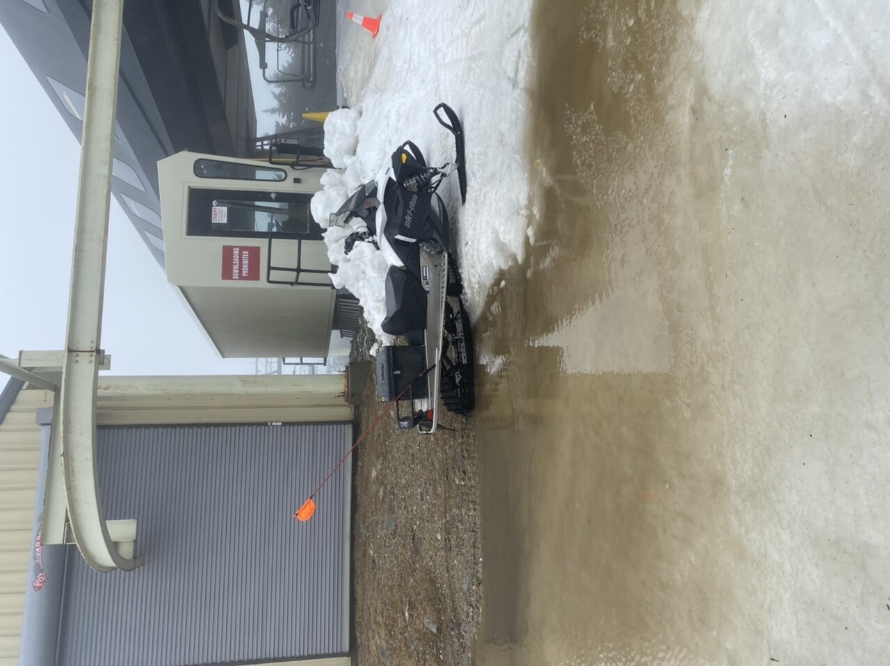
Had a great day yesterday at Stratton. What you expect for a warm April day. Wait it’s March. I can’t see the southern resorts having much more then a few trails open next weekend. Today’s things were getting dicey with water bars everywhere, mud and dirt sections and little natural left except deep shade areas. The pic is at the summit of ursa, not what you want to see

-
Sounds about right… meanwhile in Vermont
-
Agreed who would want to live in the flat portion of far northern Maine unless your a logger. Sw Maine mountains average similar snow with far superior scenery. And you aren’t an additional several hour drive from civilization.
-
Allot of it has to do with geography. The Delmarva is open to oceanic flow on a NE wind during most coastal storms limiting snow potential.
-
 That’s a static number. The number tends to be larger this time of year as the land starts to heat from increased sun angle. It’s part of why we say late season events are elevation dependent.
 -
That last band disappointed on the uws. Only a light dusting. There is more sleet and snow from earlier today then recently. In some ways this event reminds me of 2001. Just didn’t have its act together in time to produce a solid precip shield.
-
Please talk about the current event! radar says moderate snow ground truth says…… have some flurries allot of evaporation on that Nw flow
-
I think we all get a coating with this band. It’s got some dynamics. Timing is better with lower sun angle and temps are much colder
-
The sleet is actually problematic for roads as it lays down a coating that snow then can stick on. This one is going to surprise allot of people. everything now coated on the uws
-
Wow, instant coating on the uws! Moderate snow/pellets mix. We are going 3”+ here
-
I like where I am for this one. Just south of the gwb a block from the Hudson. I have a feeling there is a hour or two period where it rips 1-2”/hr and that’s where we get 3”. This one is going to surprise allot people in this part of the city. March storms tend tI be very dynamic and banding more intense. At home on the island it’s a coating
-
I’m sure you realize this so I’m just saying it general, but the heaviest snow will not coincide with the strongest winds. The strong Nw winds are a drier wind and snow will be tapering off at that time
-
This is so damn spot on. I almost have nothing else to say. also factor in ground temps will be extremely warm from today. So snow will have a real hard time sticking. I think by the time the 20s hit the coast your looking at light snow. I do think everyone sees a paste of white, as it will not be melting with temps dropping snow removal and salting will be needed everywhere
-
Would love to be on the coast of Labrador for that. Hurricane force sustained winds and feet of snow. I think the precip ends just too late for the City east before the cold arrives.
-
Ok good. You can clearly see in my pic. (Not sure why they are always sideways) that there was enough to push around with the little plow. Clearly not a trace
-
Jan 96 was probably somewhere around 24”. today is a total joke….. I had between .5-1” on the uws not far from the park, with grassy surfaces completely covered and the park measure a trace!!
-
A mix of everything on the uws. About .5” on the grass. Let’s see if the park records anything 3 miles to my south east
-
Yup, that was an impressive burst. Instant coating
-
Totally weather geeking out right now. Snowing on the 22nd floor on the uws. Just rain with a couple mangled flakes on the ground. The rain show like is around 200’!
-
Elevation will be key for real accumulations. Places over 1,000’ will do well. this is the perfect setup to take observations on top of the Nordstrom tower at 1550’ there will be several inches on that roof. Meanwhile it’s changes to white rain outside the windows of some vacant billionaires apartment around 500’
-
Exactly. I could see a few inches on grass and trees which will definitely give a winter vibe. This is outside the urban heat island. I could see midtown never accumulating. There could also be some surprises if banding gets going. March storms are notorious for producing heavy precip rates
-
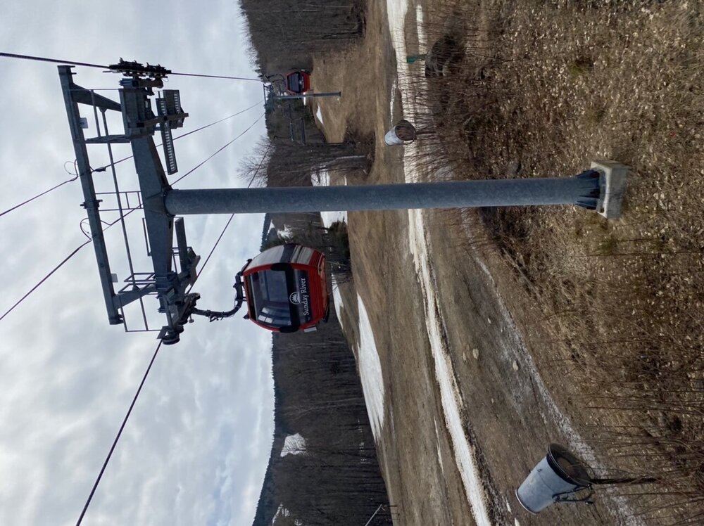
Last first week of April I did a Maine trip and the difference between Sunday River and sugar loaf was insane. SR was so melted out they really should have been closed. While SL still had plenty of base. A little extra latitude and elevation made the difference.
-
I don’t think many people are interested in a slushy car and grass topper. If we do manage to score some rates above 1/2 mile there could be some pavement accumulation but that’s a now cast situation