-
Posts
26,403 -
Joined
-
Last visited
Content Type
Profiles
Blogs
Forums
American Weather
Media Demo
Store
Gallery
Everything posted by Allsnow
-
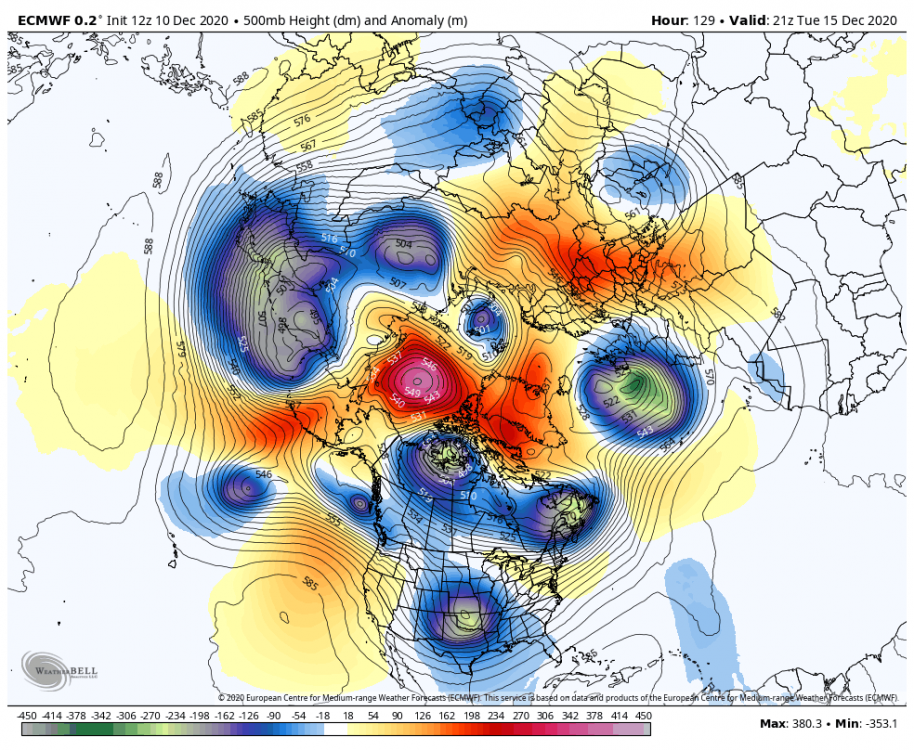
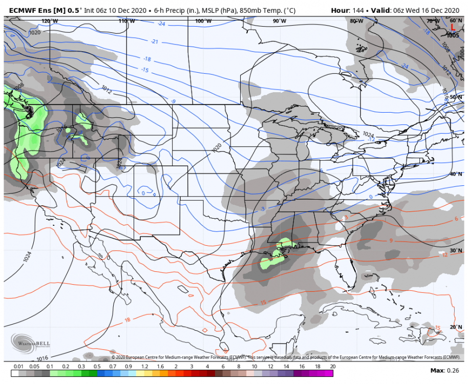
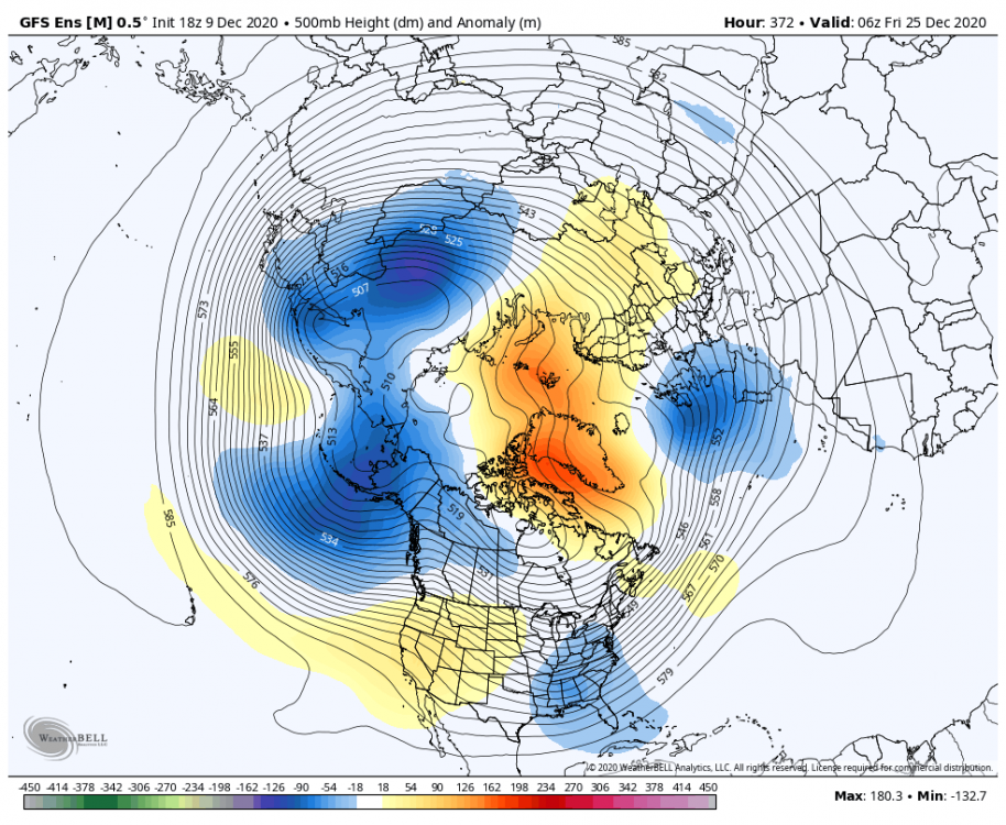
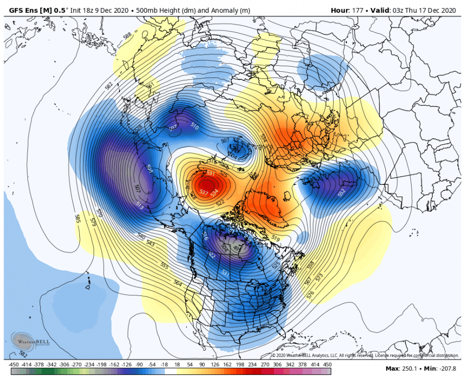
Agree. It seems like the long range stuff is just defaulting Niña pattern but picking up on weakening vortex in the medium range.
-
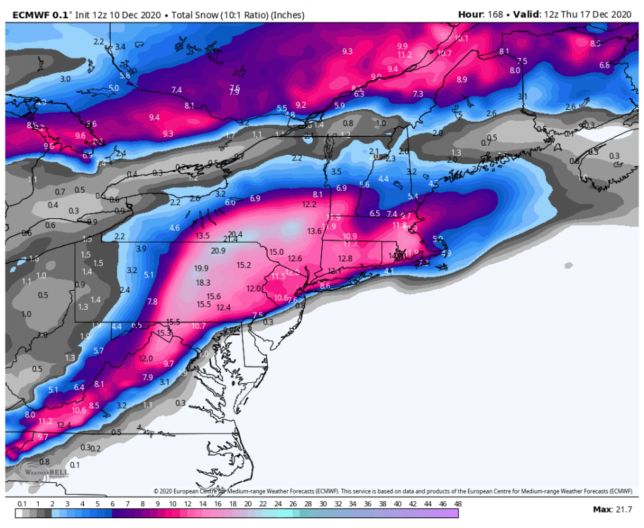
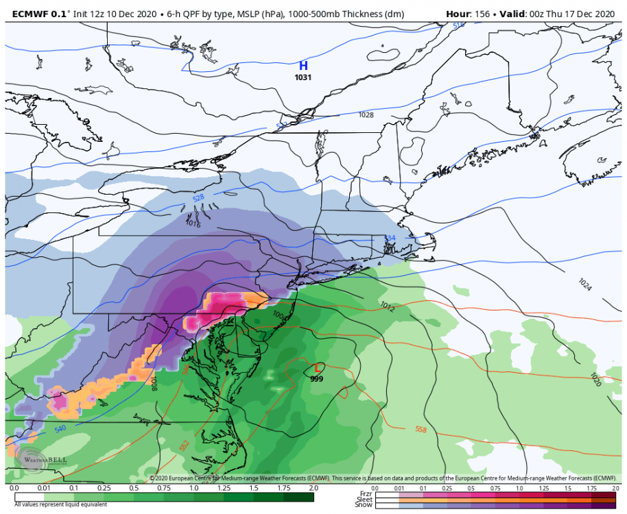
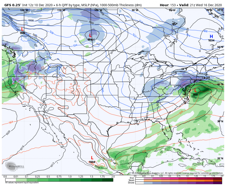
Slides out to sea but was definitely further north. We shall see how this effects mid week
-

December 2020 General Discussions & Observations Thread
Allsnow replied to bluewave's topic in New York City Metro
Awesome post! Thanks. 3 is definitely the magic number -

December 2020 General Discussions & Observations Thread
Allsnow replied to bluewave's topic in New York City Metro
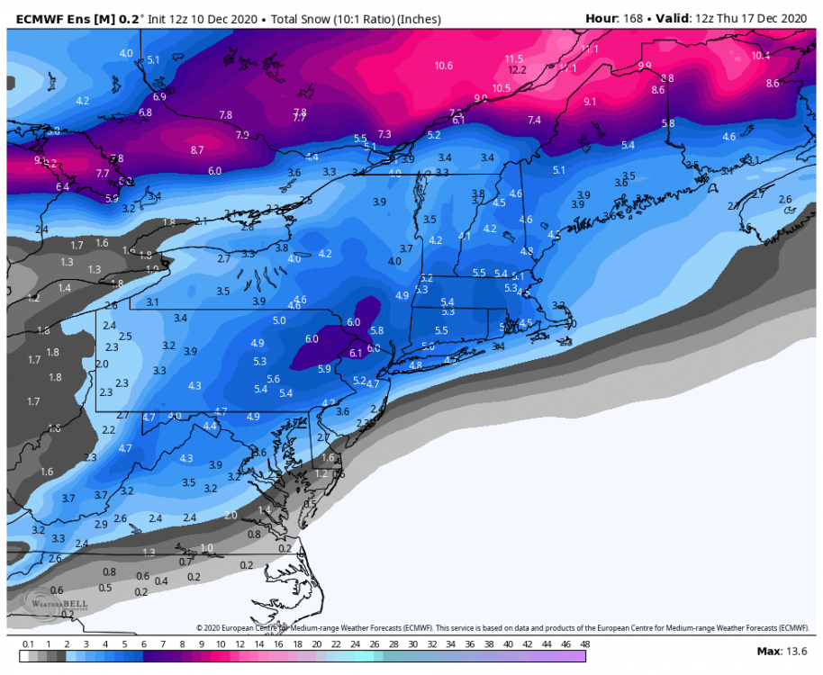
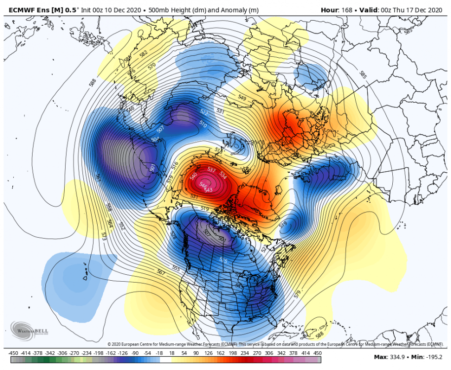
This is definitely not last winter. Snow mean on the eps looks amazing. @bluewave look at this blocking!!! -

December 2020 General Discussions & Observations Thread
Allsnow replied to bluewave's topic in New York City Metro
-

December 2020 General Discussions & Observations Thread
Allsnow replied to bluewave's topic in New York City Metro
-

December 2020 General Discussions & Observations Thread
Allsnow replied to bluewave's topic in New York City Metro
-

December 2020 General Discussions & Observations Thread
Allsnow replied to bluewave's topic in New York City Metro
No snow the rest of the month? -

December 2020 General Discussions & Observations Thread
Allsnow replied to bluewave's topic in New York City Metro
Virga? -

December 2020 General Discussions & Observations Thread
Allsnow replied to bluewave's topic in New York City Metro
Turn out to be a nice snowy day here -

December 2020 General Discussions & Observations Thread
Allsnow replied to bluewave's topic in New York City Metro
.2 here -

December 2020 General Discussions & Observations Thread
Allsnow replied to bluewave's topic in New York City Metro
Nice! I hope we see that backyard filled with snow in January -

December 2020 General Discussions & Observations Thread
Allsnow replied to bluewave's topic in New York City Metro
Light coating! We take -

December 2020 General Discussions & Observations Thread
Allsnow replied to bluewave's topic in New York City Metro
Yeah that would work. Ridge bridge. -

December 2020 General Discussions & Observations Thread
Allsnow replied to bluewave's topic in New York City Metro
Models did a good job with this light snow from a few days out -

December 2020 General Discussions & Observations Thread
Allsnow replied to bluewave's topic in New York City Metro
Actually coming down decently. The last few days have felt like winter -

December 2020 General Discussions & Observations Thread
Allsnow replied to bluewave's topic in New York City Metro
Light snow falling. Won’t be shut out this month


