-
Posts
26,403 -
Joined
-
Last visited
Content Type
Profiles
Blogs
Forums
American Weather
Media Demo
Store
Gallery
Everything posted by Allsnow
-
It was a Flop... February 2024 Disco. Thread
Allsnow replied to Prismshine Productions's topic in New England
-

It was a Flop... February 2024 Disco. Thread
Allsnow replied to Prismshine Productions's topic in New England
60 for Boston on Saturday? -
EPS snow mean over 5 for nyc this run… Snowiest run in several weeks
-
A good amount of huge hits today on the idv
-
Snow mean on the eps over 2 for next Tuesday
-
Don’t do it to yourself…
-
Yup. End of the gfs looks incredible. Just need to get through the next week and half
-
Sometimes it takes a little time to score in a pattern like this. It’s looks to stick around for more than a week and with an active STJ we should have chances.
-
Really nice set up for Presidents’ Day weekend on the gfs fwiw
-
The Monday system is probably too early in the progression of the pattern to really produce for us. After the 15th colder air gets established and then we see what happens…
-
Agreed. If we don’t get a decent storm Out of this setup it’s time to find a new hobby
-

It was a Flop... February 2024 Disco. Thread
Allsnow replied to Prismshine Productions's topic in New England
The wolf might have less snow this winter then last year -
With more juice NYC might get 50 In one storm
-
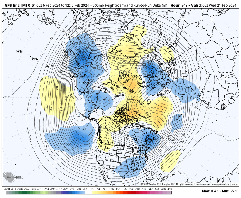
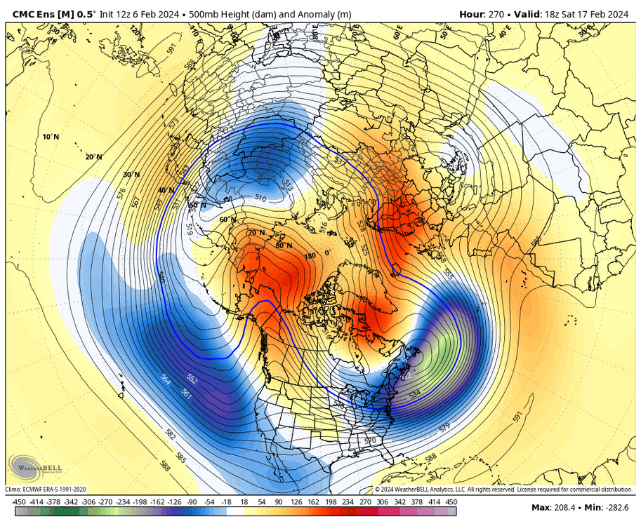
Yeah, all the ensembles agree of a long stretch of below normal weather starting on the 13th
-
Really nice ensemble runs overnight. All have that classic look with the block decaying as it moves southwest popping the pna.
-
Snow droughts happen
-
I don’t disagree that the winters have been warmer the past 9 years. What I disagree with is your assumption that we would need a major volcanic eruption for over 50 inches again in nyc. Just two years ago areas very close to NYC had over 50. We have also had very poor pna the last few winters contributing to the warmer winters. You’re forecasting persistence over a 9 year sample size…
-
A favorable Pacific for more then a week


