Rjay
-
Posts
28,397 -
Joined
-
Last visited
Content Type
Profiles
Blogs
Forums
American Weather
Media Demo
Store
Gallery
Everything posted by Rjay
-
We would need more than a stronger high
-
Stop spamming every sub Feb
-
December 2020 General Discussions & Observations Thread
Rjay replied to bluewave's topic in New York City Metro
Yup to all of it. Good post. -
Sustained at 46 mph in CT Norwalk Harbor N/A 57 N/A N/A SE46G56
- 242 replies
-
- 1
-

-
- damaging wind
- flooding rains
- (and 1 more)
-
LGA and JFK gusting to 59 right now. ***JFK's obs says 49 mph but they gusted to 59 mph 4 minutes prior.
- 242 replies
-
- 1
-
-
- damaging wind
- flooding rains
- (and 1 more)
-
Kennedy Intl LGT RAIN 59 56 89 SE35G58 29.58F
- 242 replies
-
- 2
-
-
- damaging wind
- flooding rains
- (and 1 more)
-
As of 1am LGA gusting to 51 mph JFK 49 mph EWR 46 mph ISP 49 mph FRG 45 mph HPN not reporting
- 242 replies
-
- 1
-

-
- damaging wind
- flooding rains
- (and 1 more)
-
Saw a flash of lightning off to my southwest.
- 242 replies
-
- 1
-
-
- damaging wind
- flooding rains
- (and 1 more)
-
I was at the beach during Isaias. The sand blasting I received was brutal and it was tough to stand.
- 242 replies
-
- 1
-
-
- damaging wind
- flooding rains
- (and 1 more)
-
Yea. Great music.
-
Obs and nowcast Sunday 12/20/20 daylight snowfall
Rjay replied to wdrag's topic in New York City Metro
Light snow. 34 -
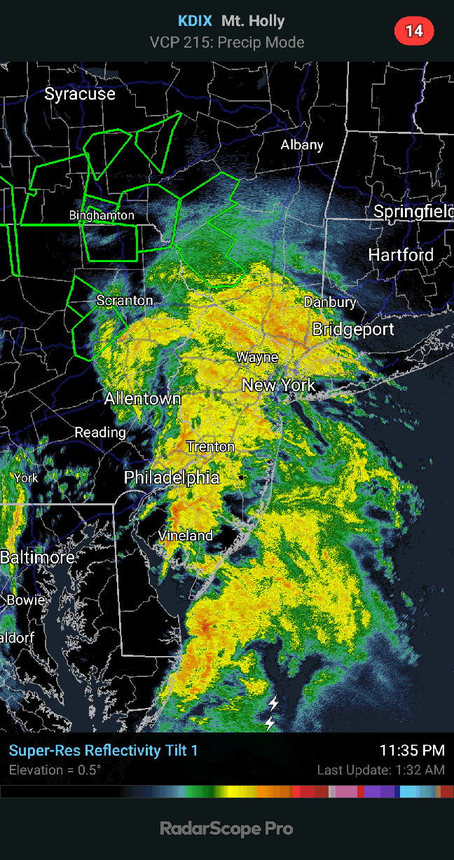
December 16-17, 2020 Storm Observations and Nowcast
Rjay replied to wdrag's topic in New York City Metro
Ohhhh lol- 1,011 replies
-
- 1
-

-
- heavy snow
- sleet
- (and 4 more)
-
Was -4 your low?
-
December 16-17, 2020 Storm Observations and Nowcast
Rjay replied to wdrag's topic in New York City Metro
You know I like you but you can't keep 3" as your total lol. It rained for 5 hours before it changed back to snow. Don't worry man. Three more months until it gets warm again.- 1,011 replies
-
- 2
-
-
- heavy snow
- sleet
- (and 4 more)
-
When you have time you should try to update it. We'd appreciate it
-
Overall I give myself a C-. Note to self: "You are not a good forecaster".
- 3,762 replies
-
- 5
-

-
-
- heavy snow
- heavy rain
- (and 3 more)
-
December 16-17, 2020 Storm Observations and Nowcast
Rjay replied to wdrag's topic in New York City Metro
Loving this weenie band at work in Massapequa- 1,011 replies
-
- 1
-
-
- heavy snow
- sleet
- (and 4 more)
-
December 16-17, 2020 Storm Observations and Nowcast
Rjay replied to wdrag's topic in New York City Metro
Seems about right -
December 16-17, 2020 Storm Observations and Nowcast
Rjay replied to wdrag's topic in New York City Metro
Cement- 1,011 replies
-
- 2
-
-
- heavy snow
- sleet
- (and 4 more)
-
December 16-17, 2020 Storm Observations and Nowcast
Rjay replied to wdrag's topic in New York City Metro
It rained for 5 hours while I slept. -
December 16-17, 2020 Storm Observations and Nowcast
Rjay replied to wdrag's topic in New York City Metro
Lots of blowing snow outside right now. That last band was legit.- 1,011 replies
-
- 2
-
-
- heavy snow
- sleet
- (and 4 more)
-
December 16-17, 2020 Storm Observations and Nowcast
Rjay replied to wdrag's topic in New York City Metro
Up to 32 from 30 last hour. Winds gusting to 40mph at ISP.