-
Posts
26,452 -
Joined
-
Last visited
Content Type
Profiles
Blogs
Forums
American Weather
Media Demo
Store
Gallery
Everything posted by WxUSAF
-
16z run was a bit more robust looking than the previous few hours so perhaps it’s catching up to conditions.
- 1,696 replies
-
- 1
-

-
- severe
- thunderstorms
- (and 5 more)
-
1pm temps and dews: DCA: 94/68 BWI: 96/65 IAD: 95/62
- 1,696 replies
-
- severe
- thunderstorms
- (and 5 more)
-
That would make for an entertaining commute home
- 1,696 replies
-
- 1
-

-
- severe
- thunderstorms
- (and 5 more)
-
Pitchers. Need 2 strong starters and 2 high leverage relievers. Probably 1 of each is the most to reasonably hope for.
-
Lately it seems euro just loves the next storm/rain event, but hates the one that’s on the doorstep. It’s been bullish for Saturday for a few cycles now. But it was bullish on today before…
- 1,696 replies
-
- severe
- thunderstorms
- (and 5 more)
-
Hope the euro busts bad
- 1,696 replies
-
- severe
- thunderstorms
- (and 5 more)
-
Pitching is better than this, but the last 7-10 games are showing some big holes. Irvin looking like he’s continuing the suck trend tonight.
-
I don’t know anything about that, but FWIW, it nailed the tornado outbreak a few weeks ago.
- 1,696 replies
-
- severe
- thunderstorms
- (and 5 more)
-
6z mesos look pretty good? Globals are decent too? I’m mostly just looking from a rain perspective.
- 1,696 replies
-
- 2
-

-
- severe
- thunderstorms
- (and 5 more)
-
18z GFS leaves us all happy
- 1,696 replies
-
- 3
-

-
- severe
- thunderstorms
- (and 5 more)
-
We went most of summer 2021 with no A/C due to a mess of a repair process. We got a single room air conditioner (not the window unit) for our bedroom to sleep with. It got the room nice and cool but was really loud. I like central A/C…
- 1,696 replies
-
- 1
-

-
- severe
- thunderstorms
- (and 5 more)
-
Overnight guidance reasonably bullish on Wednesday rain and storms.
-
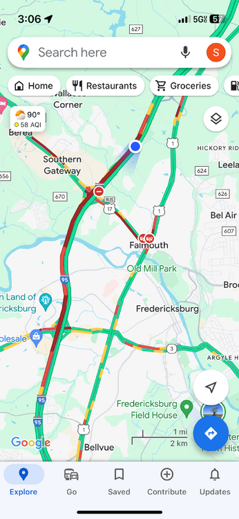
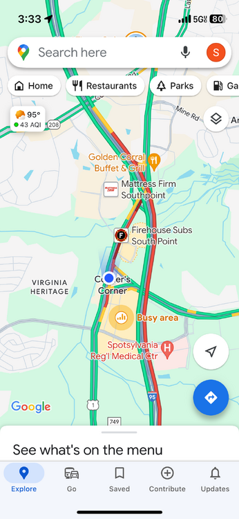
I think the difference is that between DC and Baltimore there are many options for detours and re-routing. Between RIC and 495, it’s 95 or swim the Potomac.
-
Getting a shower but radar is more exciting than ground truth
-
It is, in fact, not normal for BWI to hit 100 a few times per summer??
-
We’re back
-
This. It’s a huge and noticeable difference. And it saves people’s lives in addition to making blue skies a thing again in summer.
- 928 replies
-
- 10
-

-
O’s f-ckin curb stomped the Yankees. Overrated whiny babies.
-

2024 Mid-Atlantic Garden, Lawn, and Other Green Stuff Thread
WxUSAF replied to mattie g's topic in Mid Atlantic
It’s murder-thirty… -
Above normal each month. 1 good 10-12 day period in early January. 10” at BWI and IAD, 6” at DCA.
-
Been quite pleasant the last couple days actually. Strong breeze has kept it feeling cooler.
-
Hi friends. I’m in SC this week. Today was hot.
-
2 pitchers already done due to TJ this season, top reliever TJ last fall, this years top reliever out with elbow inflammation, top prospect just hit the IL with elbow inflammation, and now this.
-


