

WxUSAF
-
Posts
28,779 -
Joined
-
Last visited
Content Type
Profiles
Blogs
Forums
American Weather
Media Demo
Store
Gallery
Everything posted by WxUSAF
-
Yyyeeeeaaahhjj baby Watch the euro zig while all other guidance zags and totally shit the bed
-
I’d chug maple syrup for the Herpderp
-
RGEM is as close as we get to the”everyone wins” scenario
-
DC can toss one crappy model and rely on another!
-
I fondly remember the 1-2” the hrrr 48 hours ago said I was getting today
-
This is definitely a NE MD PUMMELED Event. That’s where the max will be.
-
-
Double EE rule and let it ride
-
That’ll work!
-
The 1934Z GRAF seems to support the model consensus
-
Someone is going to get the goods this weekend, but with such a narrow stripe, there’s no consolation prize.
-
Love the euro for MBY
-
Wilkommen to the SchneeFest, Icon
-
Think i saw 3 flakes at work in Greenbelt. (Insert Obligatory Greenbelt joke)
-
If NYC is stoked about the 12k NAM, we’re in a good spot
-

12/12: The little Friday clipper that could? Or won't.
WxUSAF replied to dailylurker's topic in Mid Atlantic
F-ing Virginians are legit going to have double digit seasonal totals by Saturday -
12/12: The little Friday clipper that could? Or won't.
WxUSAF replied to dailylurker's topic in Mid Atlantic
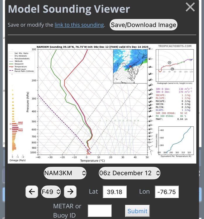
@Bob Chill just got NAM’d -
Seems safe now that above normal temps are coming starting late next week and into Xmas week. But with lots of cold air in Canada, we certainly could have a cold couple days behind any cold fronts.
-
This is the white Christmas so enjoy it weenies. I’m going to put some music on, bake cookies, wrap presents, put a fire in the fireplace, watch my favorite football team piss down their legs again, and we’ll have the hap hap happiest Christmas since bing crosby tap danced with Danny fucking Kaye.
-
I’d vote for a thread for Sunday
-
I’m modestly confused why WBAL in Baltimore has a temp range of 29-32 on Sunday. That’s the high and low. 0z euro has mid-upper 10s by 0z Monday.
-
So 18z euro is drier, warmer, about the same, or best yet?
-
Happy hour smashes a bottle over Maryland’s head
-
Going to assume 20-30:1 ratios based on my last snowfall


