WxUSAF
-
Posts
28,778 -
Joined
-
Last visited
Content Type
Profiles
Blogs
Forums
American Weather
Media Demo
Store
Gallery
Everything posted by WxUSAF
-
Low of 35
-
0.43” total yesterday and overnight. Did get first thunder of the year per my family (I’m in LA).
-
Anomalous morning at DCA per @Ian. Not as anomalous at BWI. Low of 22 only coldest since 2015 when it was 21 on March 29th.
-
Low of 21
-
Low of 25 so far with time to drop more. 9 hours below freezing and counting. So much for our magnolia blooms this year.
-
Duke and UNC in the final four Disgusting
-
Actually was a decent snow shower on I95. Enough that non-wx weenies would notice.
-
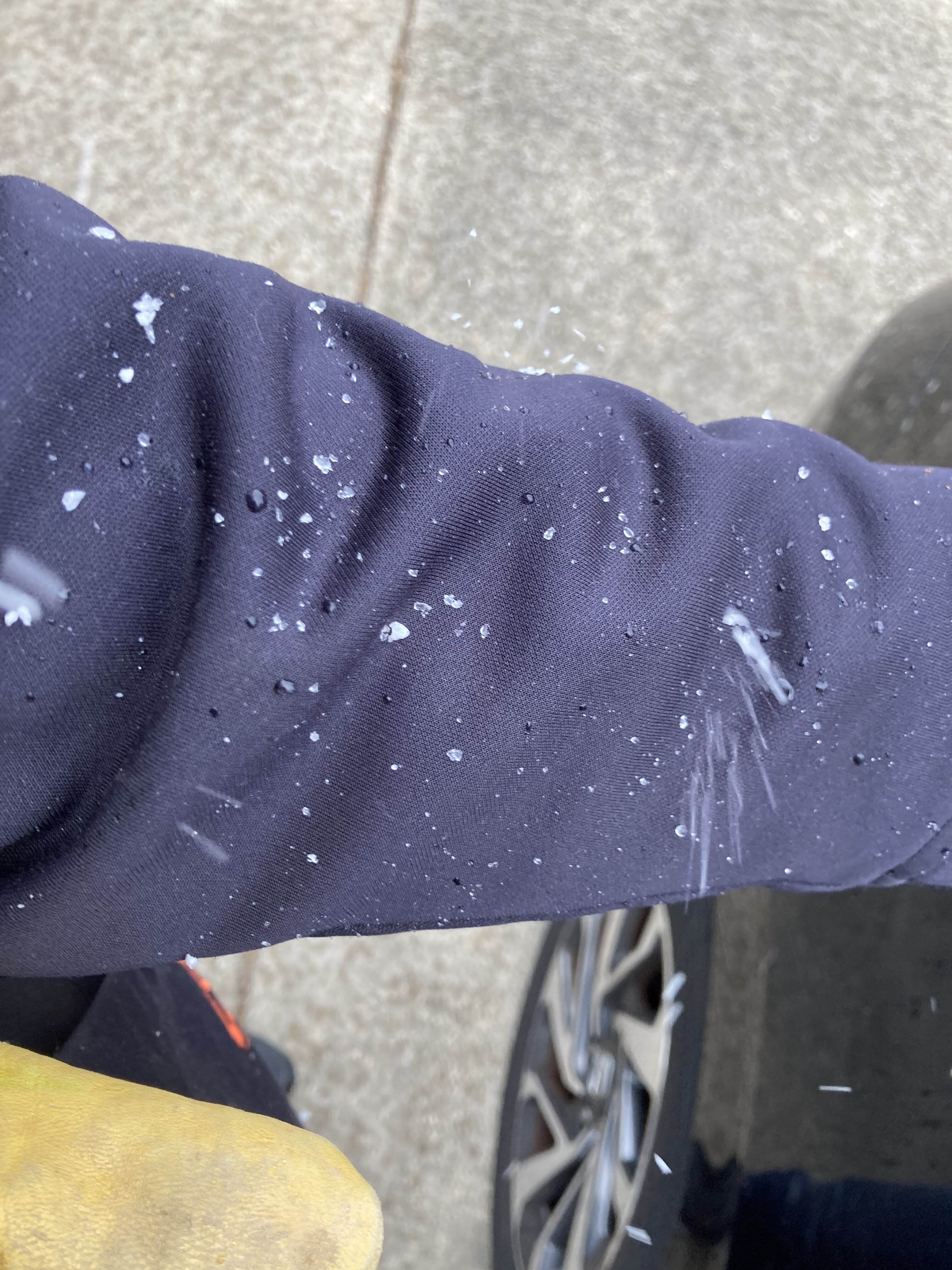
Couple snowflakes falling in Columbia.
-
My wx station temp dropped from 52 to 43 in a flash and now back to 51.
-
Heavy snow shower in Columbia!

-
I remember one March/April from several years ago where there were cold core convective showers around. We were in the car on 95 and car thermometer was 48/49 when we got hit by one. Giant huge snowflakes and temp dropped to like 36 in moments.
-
In early spring, the wedge always wins
-
Didn’t hear any thunder last night, but up to 0.63” storm total precipitation.
-
ALEET ALEET
-
lol if you believe the 0z GFS, Saturday’s high of 50-55 is the warmest we get for the subsequent 9-10 days.
-

2022 Mid-Atlantic Garden, Lawn, and Other Green Stuff Thread
WxUSAF replied to mattie g's topic in Mid Atlantic
Anyone with experience growing New Jersey Tea shrubs? There’s mixed reports online about how much deer munch them. I’m getting 2 for free next month and wondering how much protection they need. -
My God Smarch is coming in with a vengeance starting Saturday. Could be multiple days with sub-freezing lows next week. Highs look to be in the 40s for most days as well.
-
Fredericksburg needs to be totally shut down until we figure out what the hell is going on. How do people live in this traffic hellhole?
-
Make sure you put on sunscreen when you go out to shovel!
-
Smarch coming in hot next week
-
GFS looking pretty Smarch-y after this weekend
-
It is sooooo stupid that Lamar doesn’t have an agent.
-
Classic alternative. Damn that makes me feel old.
-
Those are hopefully impactful moves. No idea how they can make them given cap concerns plus Lamar’s contract hanging over everything but I like to see it. Draft will be interesting.
-
2 months of long range ensembles saying we’ll get a broad bowl overrunning pattern. Would fit that it finally arrives in April.