-
Posts
26,463 -
Joined
-
Last visited
Content Type
Profiles
Blogs
Forums
American Weather
Media Demo
Store
Gallery
Everything posted by WxUSAF
-
Yeah, but at the time I couldn’t find any literature measuring that. Maybe it’s been done since.
-
I don’t know if there’s any literature about it, but I started dabbling with a project in grad school that would have shown that UHI is minimized during cold air advection as opposed to basic radiational cooling. Never got very far with it, but I think last night is a good demonstration of that idea.
-
Plus Decembers in Ninos are usually mild and the least snowy month? Last December we had a pretty canonical Niña cold pattern the second half of that month and we got boned in the snow department.
-
Plus the ensembles seem to keep adjusting to more -AO which I also quite enjoy! People are gonna gripe going forward even if we can pull a small event out of our hats next week, but I still think we will have chances for snow and cold this month. This does not look like December 2015 at all.
-
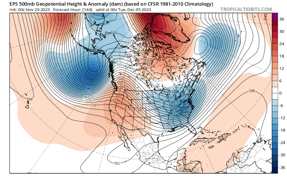
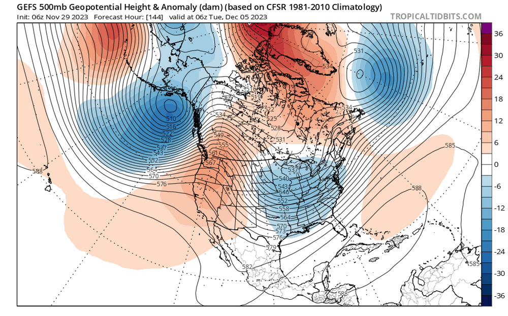
I like seeing a Scandinavian ridge showing up on guidance toward mid-month. That should slowly retrograde and help reinforce a -NAO.
-
“faint to modest indications” is a good motto for our subforum
-
Congrats @GATECH!! A very impressive performance with a single day departure for BWI, IAD, and RIC and only 3 days for DCA. @BristowWx was second place with a total departure of 10 days and @southmdwatcher was third with a departure of 13 days.
-
Our long nightmare is over
-
If BWI has an average temp of 32 tomorrow (high of 40 low of 24), there were only a handful of colder days in the Nov 22-March 23 cold season.
-
It’s quite typical for strat vortex disruptions to impact Europe first.
-
If you're into Strat vortex talk, today is a good day. A weak Strat vortex plus MJO that should be propagating into favorable phases is a good combo for the week before Xmas and beyond. @griteater and DT both talking about that time period as well.
-
30 at home. Stayed in the 30s today. Frigid with the wind.
-
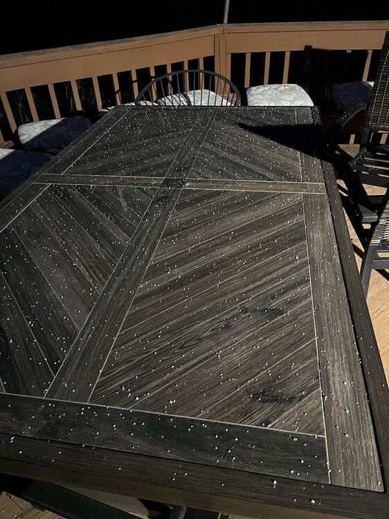
Big area of flurries and snow showers moving toward the M/D line. Hoffman better get that dry ice-cooled snow board out so he can rack up the flakes.
-
FFS @psuhoffman, please tell us you’re shoveling this morning!!! The subforum’s hopes are teetering!
- 727 replies
-
- 12
-

-

-

Mid-Atlantic Snow Totals Thread - Winter 2023-2024
WxUSAF replied to mattie g's topic in Mid Atlantic
T: 11/28/2023 Normally, I don’t count traces, but figure I better make a note in case this is all we get -
Pretty much equivalent to the 2nd heaviest snow of last winter
-
- 727 replies
-
- 11
-

-

-
Flurries in Columbia!!!
-
Some northern stream energy has consistently been showing up behind those rainstorms. That will be a short range track if it happens.
-
GFS and GGEM both showing coastal development in the Dec 5-7 period that @CAPE has shown a few times on the ensembles. Timing is key with active flow, but there’s cold air nearby.
-
Peak climo in mid January to mid February? I don’t see how anything that’s being shown for the next two weeks should at all change anyone’s original opinion about how this winter will shake out. If anything, there’s still plenty of reason to be more optimistic that December won’t be a complete waste of which is very much in this strong Nino winter history.
-
A period of -PNA to start December has been very well modeled and expected for like a week? And it’s also been seasonally expected for December by almost all monthly or seasonal outlooks?
-
18z hrrr has flurries/snow showers Tuesday through MD


