-
Posts
6,045 -
Joined
-
Last visited
Content Type
Profiles
Blogs
Forums
American Weather
Media Demo
Store
Gallery
Everything posted by strongwxnc
-
Mod snow now at 33.2. Went out to feed out horses and it sure is wet around. You can see the radar building into the western side of my county .
-
-
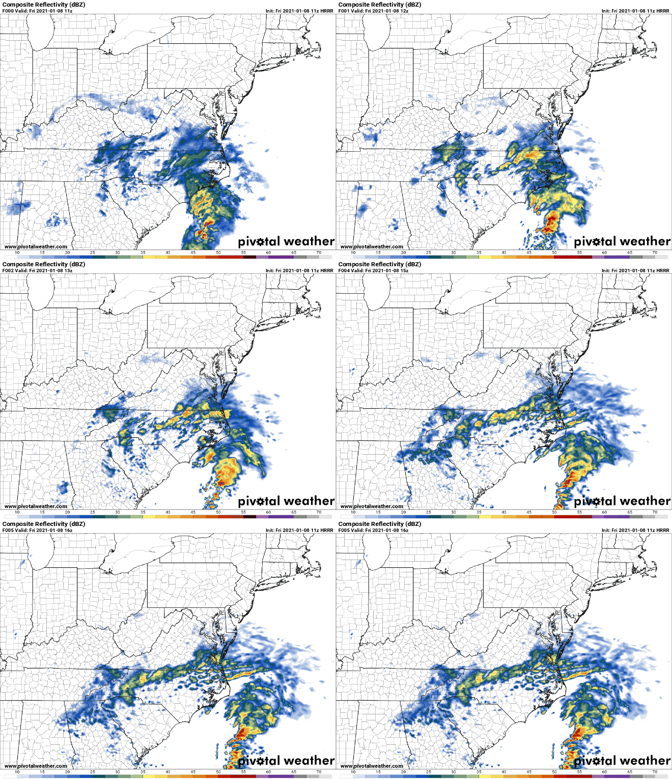
HRRR seems to like this area as the ULL starts to pivot. Maybe picking up 1-2" today as it swings trough.
-
Im at .23" as a total so far. would have been great with supportive temps. But Ill take a dusting anytime
-
Sold dusting here = a win! Hoping to get snow for the rest of the morning as the ULL swings in. Picked up .23" last night most of which was not frozen. Temp struggled at 35 but sitting a 32 now with light to mod snow.
-
Solid dusting! Come down good now! .
-
Nice! Crashing for a few hours in hopes to cash in later on. .
-
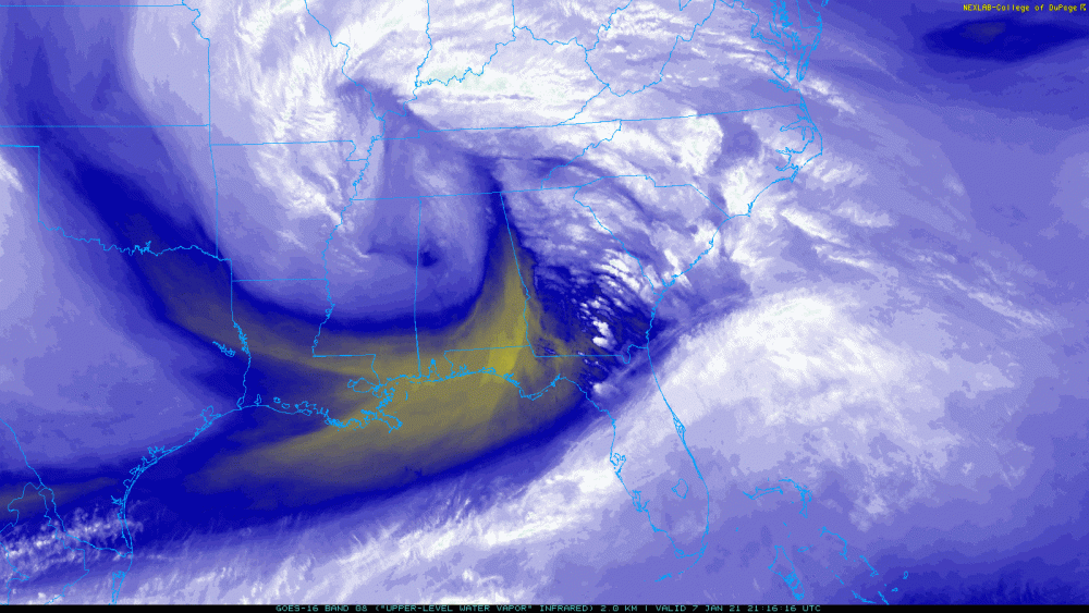
Hello! Mesoscale Discussion 0015 NWS Storm Prediction Center Norman OK 0954 PM CST Thu Jan 07 2021 Areas affected...The Blue Ridge of western North Carolina and adjacent portions of the southern Appalachians Concerning...Heavy snow Valid 080354Z - 080700Z SUMMARY...Heavy snow is expected to develop along the North Carolina Blue Ridge into Great Smoky Mountains, at rates up to 1-2 inches per hour by 1-3 AM EST. DISCUSSION...The exit region of an 80-90 kt, cyclonic 500 mb jet streak is in the process of overspreading the southern Appalachians vicinity, with associated forcing for ascent and cooling contributing to steepening mid-level lapse rates. This includes the eastern slopes of the North Carolina Blue Ridge into the Great Smoky Mountains, where low-level warm advection to the east of an approaching mid-level low will contribute to lift during the next few hours. Models suggest that orographic forcing will become maximized across the higher terrain by 06-08Z, when strong upward vertical motion may focus within the favorably cold mid-level temperatures conducive to large dendritic ice crystal growth. Although lower levels near and just above the surface may be initially relatively warm and dry, quick saturation and cooling of this air mass is expected due to evaporation and melting of heavy precipitation. Aided by precipitable water increasing in excess of .5 inches, at least a couple hour period of heavy snow rates on the order of 1-2 inches per hour appears possible. ..Kerr.. 01/08/2021 .
-
GSP update 10:30 .NEAR TERM /THROUGH FRIDAY/... As of 1030 pm EST: Greenville, Spartanburg, and Cherokee Counties have been added to the Winter Weather Advisory for light accumulating snowfall through Friday evening. Recent RAP model runs have trended colder quicker across the far northern Upstate and this should lead to a slightly earlier changeover to primarily snow across the northern portions of these counties. In addition, the potential for snow showers as the steeper lapse rates move through on Friday could bring light accums closer to the I-85 corridor. Locations southeast of I-85 will still see primarily a cold rain, but with some sleet or snow showers at times. Otherwise, the forecast remains on track with the first precipitation shield moving across the heart of the forecast area late this evening. Ptypes are almost exclusively snow at this point across the bulk of the mountains and should remain that way for much of the duration of the event. No other hazard adjustments will be made late this evening.
-
Biggest flakes I’ve seen in a few years. That band meant business! Never all SN but close. Lighter returns about to come In now. Down to 35.4 .
-
Under this band it completely changed everything. It’s down to 36.7. And it’s definitely a snow sleet mix little rain. .
-
I can only imagine. It’s dropped 3° in the past 15 to 20 minutes Under this heavy band in the county. It’s almost 60% snow a little sleet and a tiny bit of rain mixed in. Flakes are getting bigger. .
-
was 39.7 with heavy returns and a SN/RA mix. Now dropped to 37.9 is about 10 minutes. Still RA/SN mix.
-
Might be between rain drops but this is brining the snow! 39.1 .
-
39.7°. Rain snow mix. .
-
40.5/ 31 here
-
temp 40.1 WB 35.7
-
I agree. Should start to Crank up as the low moves off to the east. I need some returns in here to drop my temp. Dancing around 39 right now.
-
That’s good to know! .
-
Always cashing in! .
-
Thats never off topic. I will be drinking Highlands and Lagunitas tonight
-
My winds have been East all afternoon and Im hoping that fetch will be just good enough at the surface to keep it clean.
-
For my area Im just glad the winds continue to be out of the East. I need all the help that can be given
-
Light returns already getting into SW mountains and NEGA.


