wxmanmitch
-
Posts
2,096 -
Joined
-
Last visited
Content Type
Profiles
Blogs
Forums
American Weather
Media Demo
Store
Gallery
Everything posted by wxmanmitch
-
Cored my 27" snow pack and came up with 7.8" of LE. Season total stands at 126.6", which is likely close to average to date. I was running a bit above, but I've had only an inch so far this month.
-
1.2" of wet sleet on top of the 0.7" of snow from yesterday. Only about a tenth of an inch of ice accretion, so we definitely dodged a bullet.
-
-SN, 25.2° F. 0.7" of snow today, but it's that type of snow that's on the verge of sleet with some aggregation and high fall velocities evident. There's a warm layer up there that's probably just barely above freezing and is not warm or thick enough to melt the flakes yet. Anyway, not looking forward to the sh** show that's arriving here by midnight. Hopefully I'll get more of my QPF as sleet than freezing rain, but the NAM is about 0.8" QPF freezing rain, HRRR about 0.5".
-
Seems a bit high. Maybe they had better snow growth, but the radar didn't look all that different there. The west slope of the Berkshires did better because of the blocked SW flow. One of my Twitter followers said 6-7" in Dalton, MA.
-
3.7" with 0.37" LE. An exact 10 to 1 SLR! How often does that work out? Snow growth was not good today...just small flakes with a fine, white sand consistency. Snow depth at the stake is an even 30".
-
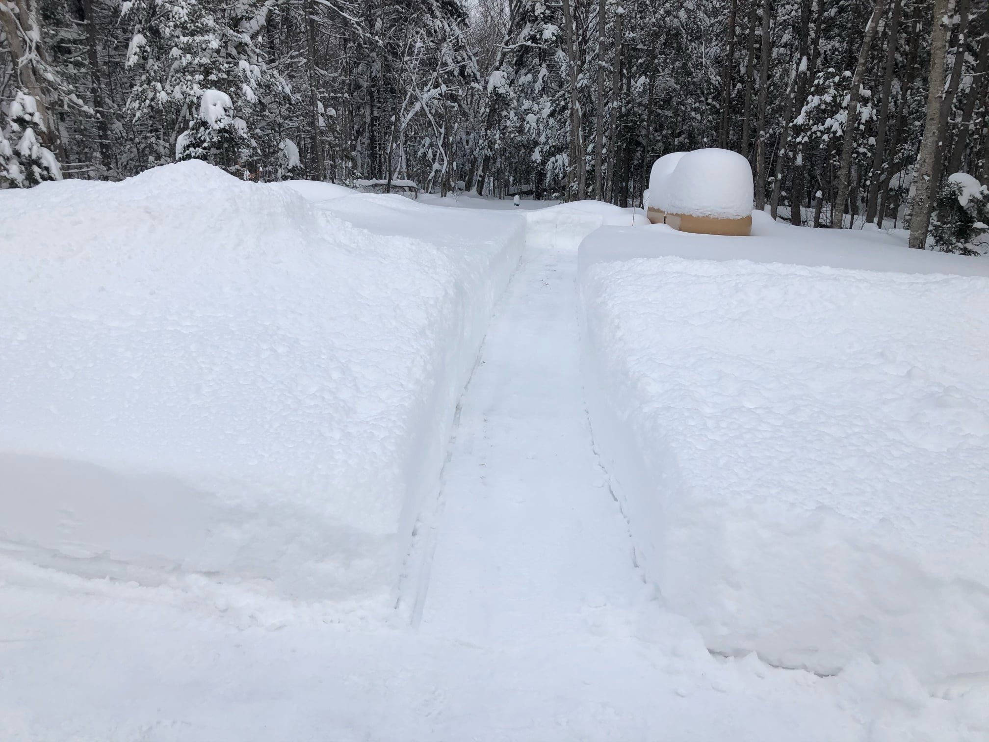
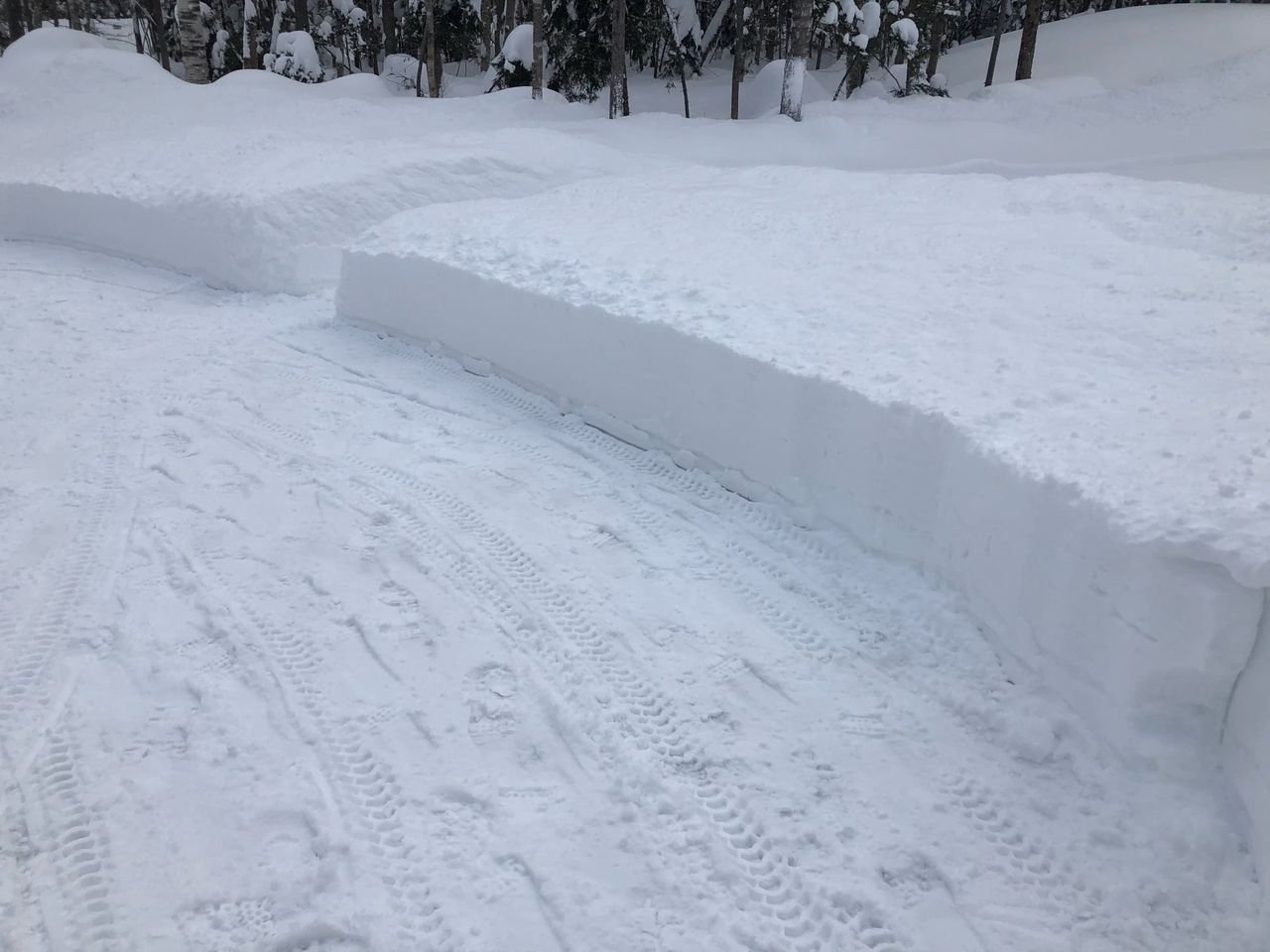
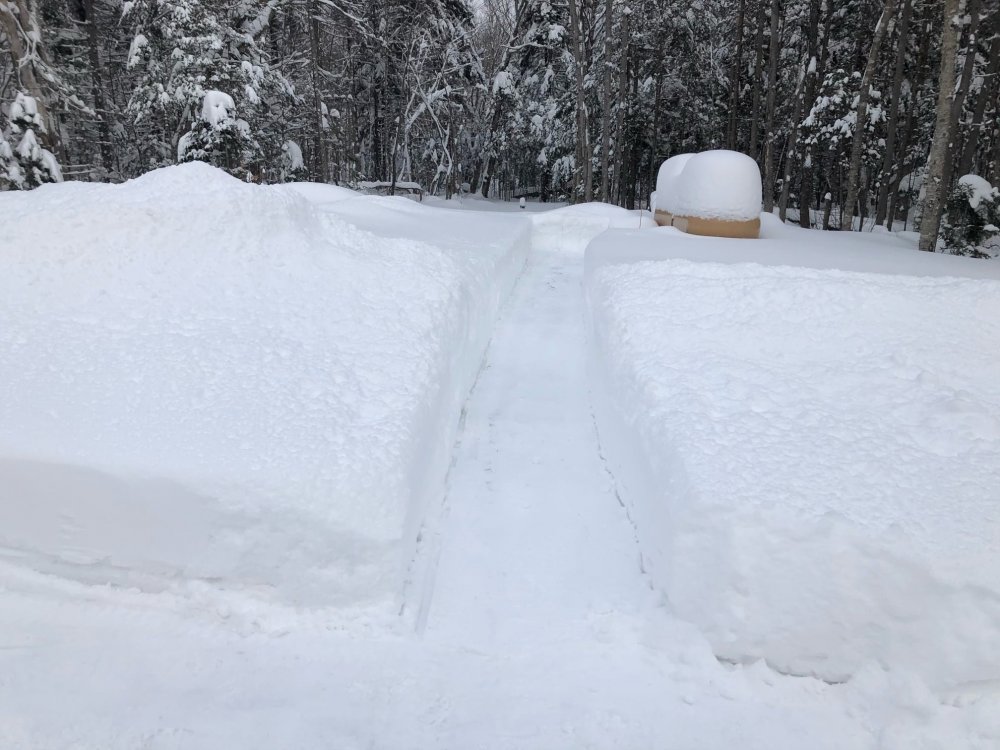
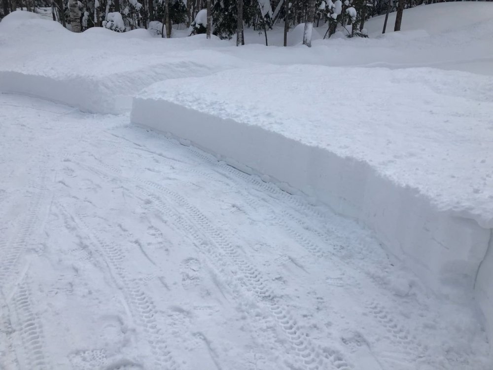
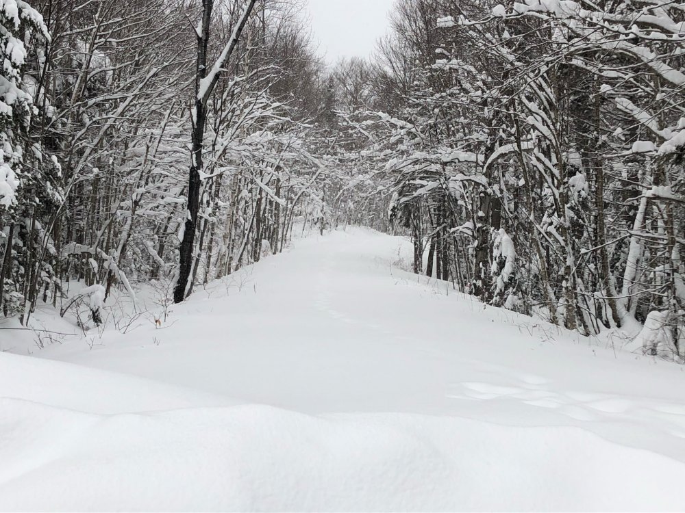
Deep, deep winter. 25-26" OTG. My famous snow blower cuts are back. 3.0" new in the past 24 hours with 33.6" in the past week.
-
I had 11.0" on the front end Saturday AM.
-
3.0" new in the past 24 hours. I've now had 13" of upslope since Saturday afternoon, depth is 22". 74.1" for the the season. Not bad at all considering where we were a week ago.
-
That 131.0" was for the 2020 calendar year. My 2019-20 snowfall total is in my signature.
-
My 2020 weather stats: Total precipitation: 58.32" Total Snowfall: 131.0" Average Temperature: 43.6° F Lowest Temperature: -7.9° F on 2/15 Highest Temperature: 84.8° F on 7/19 I'm amazed at how high my precipitation total is given that Bennington just over the hill about 12 miles away had only 36.94" and Pittsfield, MA about 30 miles to my SSW had 37.41". This total is from a Stratus rain gauge and not from my Davis VP2 tipping bucket gauge.
-
4.0" overnight for a 4.6" two day total. Road was plowed and I have just enough to snow blow the driveway even though it'll melt soon.
-
While not always the case, I've noticed the same thing. Stability tends to increase at night so that would favor a more stratiform type of upslope as opposed to a cellular (unstable) or streamer (neutral stability) upslope so there is definitely merit to this observation. The streamers can nail a particular location if you manage to get one over you for a while.
-
Only 0.6" on my snow board from rounds 1 and 2, so it's safe to say the upslope has been a disappointment down here so far. This stuff is hard to measure with some "drifts" to 2-3" around the house. Awaiting to see what the clipper brings us for round 3 overnight... I haven't been able to get the deeper moisture profiles needed to get a more robust upslope snowstorm this far south. It's one of those deals where you can clearly see the silhouette of the sun or moon through the clouds. The bigger events tend to produce a thicker cloud cover where the sun or moon aren't visible.
-
Classic stratiform type upslope snowfall ongoing with fat, fluffy flakes. Still rather wet since it's 32.6° F, but the ground is white once again. Under a WWA for 4-8" through Tuesday.
-
Hi...Justin, I remember that original screen name. Glad to see you back on the forums. We overlapped a bit at Plymouth...I graduated with a BS in '07, MS in '10. You're in a good spot for snow up there in the heart of CAD country. Any idea what the annual averages are like at your location? I've since relocated to a decent snow spot high up in the Green Mountains of far southern Vermont. I get a nice mix of snow from coastal storms, southwesterly flow overrunners, and upslope on NW flow. Look forward to your observations this winter.
-
May 8-9 mid-spring rain, snow, cold, wind obs
wxmanmitch replied to CT Valley Snowman's topic in New England
Typically 850 to 900 mb, but I've seen blocked or slightly blocked flow occur if there's more of a northerly component to the wind in the low levels or weaker westerly flow without much evidence of an inversion. The stronger the cross barrier component of the wind and, of course, the lower the stability, the higher the Froude number will be. Looking back on it in more detail, there was likely some synoptic forcing mechanism that was enhanced by upslope behind those totals as opposed to just pure upslope. Many of these backside events are wrap around comma heads with NW flow, but the maxes with this one seemed a bit further west than usual. Shaftsbury, VT (10.5") and Cambridge, NY (12") are not typically spots that jackpot in these setups. Usually it's a bit to the east near the crest of the spine. How much of this was the result of synoptics vs. upslope is difficult to pin down and would make for a good case study subject. I measured 7.5-8" in Woodford at 10 AM, so the 8.5" report from 7:30 AM is legit. Even the east side of Bennington at 900' had 6-7". I finished with 5.0", but the Deerfield Valley towns just to my east had less than an inch. Very sharp gradients that were not as dependent on elevation as I would've anticipated. -
May 8-9 mid-spring rain, snow, cold, wind obs
wxmanmitch replied to CT Valley Snowman's topic in New England
I'll head up to Woodford in a little to see if that 8.5" is legit, but I think it is. Likely some blocked upslope going on the west side of the Taconics and Greens that led to those 8-9" totals. -
May 8-9 mid-spring rain, snow, cold, wind obs
wxmanmitch replied to CT Valley Snowman's topic in New England
5.0" looks to be the final here as the sun comes out. Tough to measure due to the winds blowing around dry, fluffy nature of the snow. It's wet at the bottom. Depths ranged from 4.5" to 5.5". Had a low temperature of 22.6° F at 8 AM with a midnight "high" of 29.2° F. I wonder if I verify a subfreezing high today? It'll be close since that May sun is intense. Although May snow is not uncommon here (I had 3.3" last year on the 14th of the month), this type of snow is. It's like midwinter. -
March 12/13/14 Blizzard/Winter Storm/WWA etc
wxmanmitch replied to Bostonseminole's topic in New England
+SN, 23° F. 11" of upslope, 7" from the storm yesterday. -
March 12/13/14 Blizzard/Winter Storm/WWA etc
wxmanmitch replied to Bostonseminole's topic in New England
I do accept the higher totals from Wilmington over to Jacksonville, Halifax, etc. as they caught that band that I and Woodford narrowly missed yesterday. I don't always buy some of the WeatherNet6 reports, especially Woodford's. Sometimes Woodford's reports are more in line with totals around here, but other times they are not and this is one of those cases where it is most certainly not. My two week total is ~80", so there's no way Woodford has had that in the past week. -
March 12/13/14 Blizzard/Winter Storm/WWA etc
wxmanmitch replied to Bostonseminole's topic in New England
8" of new upslope on top of the 7" from yesterday. Very light snow right now, but models have it ramping up again from around 03z to 12z, yielding another 0.5-0.75" of LE. Then it tapers to flurries and light snow showers tomorrow during the day before another round tomorrow night? Snow growth has been kind of cruddy with lots of small rimed flakes and even pellets at times. Unlike a lot of these upslope events though, there's some good weight to the snow thanks to the deep moisture layer wrapping around our storm. I'm not buying the 35" storm total report from Woodford. I drove through there today en route to do an errand in Bennington (which was almost a costly mistake as I pulled over to a parking area on the side of route 9 that hadn't been plowed in several hours to let someone pass and got stuck, but luckily I was able to weasel my way out of it). Yes, they have a lot of snow like I do, but I find it hard to believe that there would be a 20" gradient in less than 5 miles at pretty much the exact same longitude and similar elevation. They were west of the meso band that nailed areas just west of I-91 like I was and radar returns haven't been that much different there. Maybe they have a little more, but not 20" more. Meanwhile Bennington had only about 2-3" that was melting in the March sun angle with temps near 32-33° F. I came back via Williamstown and N. Adams as 9 and 8/100 are tough. -
March 12/13/14 Blizzard/Winter Storm/WWA etc
wxmanmitch replied to Bostonseminole's topic in New England
Upslope machine is cranking. +SN. It doesn't look like much on radar, but trust me, it's nuking at least 1-2" per hour. Fine snow though. Will measure in a bit. -
March 12/13/14 Blizzard/Winter Storm/WWA etc
wxmanmitch replied to Bostonseminole's topic in New England
Snow has increased a little and skies have darkened as the remains of the I-91 band have pivoted back here. Looking forward to what kind of backside upslope I can get. I'm a tad east of the spine axis, so I may not get quite as much as Woodford to my NW, but am close enough that I can do well as long as the flow isn't super blocked. We may upslope right through Thursday. -
March 12/13/14 Blizzard/Winter Storm/WWA etc
wxmanmitch replied to Bostonseminole's topic in New England
6" here. Light, fine snow with a silhouette of the sun poking through the overcast from time to time. That band that was along I-91 has been trying to pivot west a bit, but is dying as it does so. Probably won't make it here. -
March 12/13/14 Blizzard/Winter Storm/WWA etc
wxmanmitch replied to Bostonseminole's topic in New England
White sandstorm here since the death band is about 20-25 miles east of where it was last time. Probably about 3-4" of new.