Jns2183
-
Posts
5,849 -
Joined
-
Last visited
Content Type
Profiles
Blogs
Forums
American Weather
Media Demo
Store
Gallery
Everything posted by Jns2183
-
How can we get to 0.75" in the most annoying way possible tomorrow? Sent from my SM-G970U using Tapatalk
-
I remember a few times getting like 5-6" in 3 hours before the dreaded pingers and 10 hours of freezing drizzle Sent from my SM-G970U using Tapatalk
-
.85" I'm guessing Sent from my SM-G970U using Tapatalk
-
Seriously, I posted this waiting for yot Sent from my SM-G970U using Tapatalk
-
I also work at a whiskey distillery. I took enjoy the simple beauty of booze. But where I work I need to be fancy Sent from my SM-G970U using Tapatalk
-
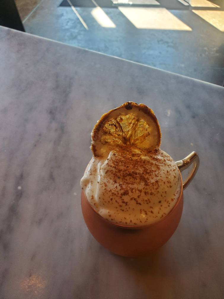
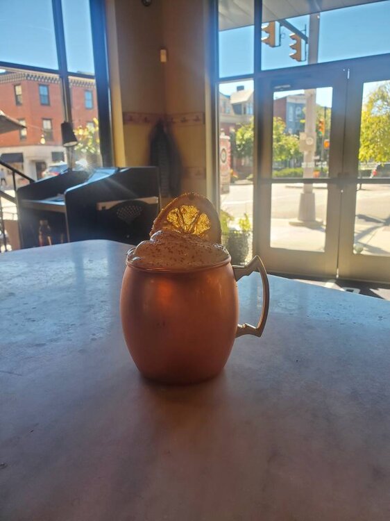
@Itstrainingtime a take on the dark and stormy for fall Sent from my SM-G970U using Tapatalk
-
So it's 1.5 oz overproof plantation rum .75oz Pierre ferrand cognac .5oz velvut falernum liquor 1 tsp melletti 1 tsp liquor 43 1 tsp ginger simple syrup Shaken Poured into Tin cup with ice Add 2 oz ginger beer Foam is 2 oz heavy cream 1 tsp cinnamon simple syrup 1 tsp velvet falernum Whipped in glass spooned on top. Cinnamon stick grated Dried orange wetted with lemon juice and dipped in sugar cinnamon blend all flash cooked and glazed with torch Sent from my SM-G970U using Tapatalk

-
I love the dark and stormy. Let's go south for winter vacation while bringing the snow Sent from my SM-G970U using Tapatalk
-
Haha I love it, but I already have a clover club cocktail on summer menu Sent from my SM-G970U using Tapatalk
-
What should it look and taste like? What liquors are musts and must-nots? Sent from my SM-G970U using Tapatalk
-
Alright weather nerds. I need to come up with a weather themed cocktail. Taking suggestions Sent from my SM-G970U using Tapatalk
-
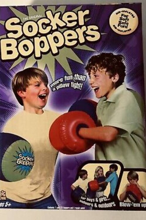
If I had that power I'd bring back these and make it a national sport. Sent from my SM-G970U using Tapatalk
-
It's been here for awhile but what is this? Sent from my SM-G970U using Tapatalk

-
Won't you be up at the game? Start time for up there is like 3-4am Sent from my SM-G970U using Tapatalk
-
But the sun will be gone till later Sunday. It will be the east wind, dreary, drizzling wet free morning Sent from my SM-G970U using Tapatalk
-
I love the ice box my room is when we get down into the low 40s with my window wide open Sent from my SM-G970U using Tapatalk
-
Haha Sent from my SM-G970U using Tapatalk
-
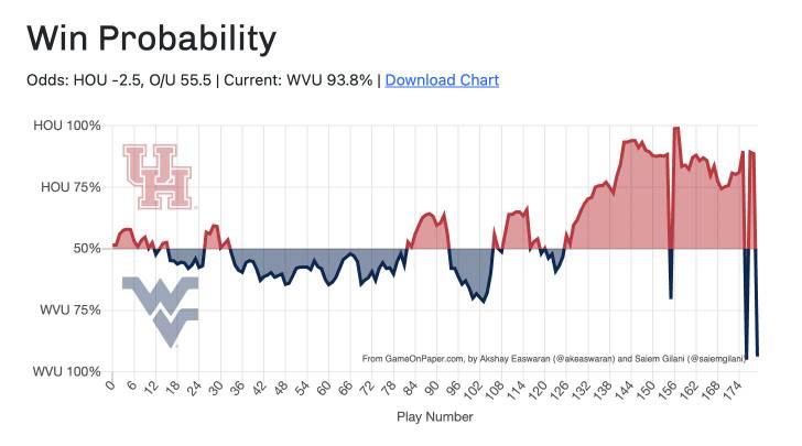
The WVU vs Houston CFB just had back to back hail Mary TDs Sent from my SM-G970U using Tapatalk
-
Quiet in here tonight Sent from my SM-G970U using Tapatalk
-
The new "TDS" Sent from my SM-G970U using Tapatalk
-
The rain map you posted yesterday made me realize it was about time for the Old Richmond 6",state college 6" us 1" special this winter Sent from my SM-G970U using Tapatalk
-
I used to help my buddy do pig roasts for weddings on Saturdays because wedding money has always been insanely stupid good. The amount of fall days I've worked outside with that kind of weather is hilarious Sent from my SM-G970U using Tapatalk
-
The central pa special Sent from my SM-G970U using Tapatalk
-
So close to glory, yet so far..... Sent from my SM-G970U using Tapatalk
-
Seems like regardless of amount stuff falling from sky we still we have a good 18 hours of it Sent from my SM-G970U using Tapatalk