weatherwiz
-
Posts
75,221 -
Joined
-
Last visited
Content Type
Profiles
Blogs
Forums
American Weather
Media Demo
Store
Gallery
Everything posted by weatherwiz
-
I may invite the Bruins over for extra practice.
-
Backyard turning into a pond...lots of standing water.
-
POURING here
-

New England Winter 2024-25 Bantering, Whining, and Sobbing Thread
weatherwiz replied to klw's topic in New England
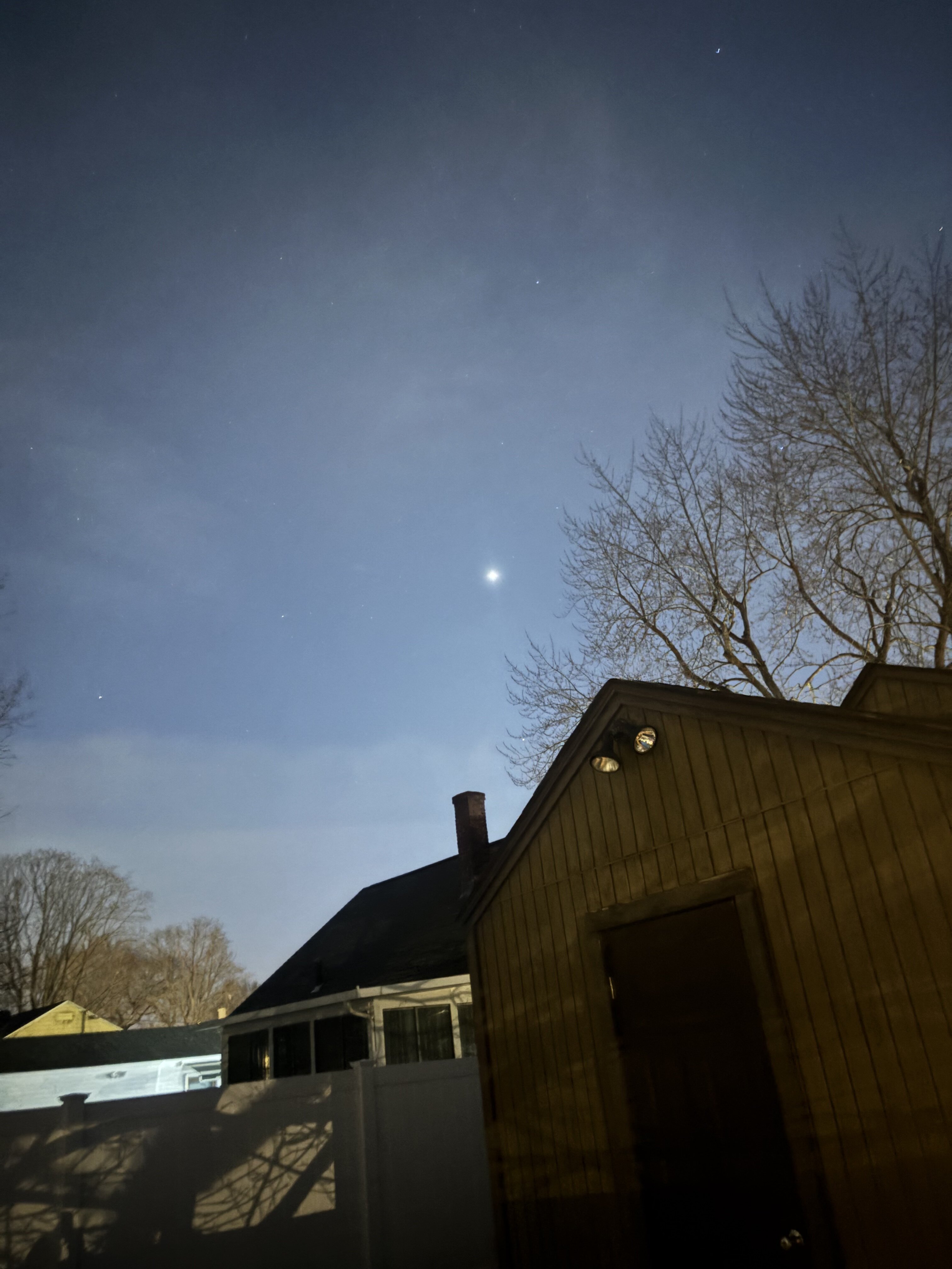
assuming this is Venus but it seems awfully bright tonight
-
I remember...maybe it was 2016 or 2017 or 2018...one of those years, they had like extremely anomalous +500 height anomalies across the central U.S. but they had a stout Arctic high and were breaking cold records left and right.
-
Yeah the upcoming pattern is one that isn't definitively cold or warm and more rollercoaster like. I kind of like the period of 10th-20th but we're going to be setting up a hell of a battle ground in terms of north-south temperature gradient across the country and we look to be right along that zone.
-
That's the thing with cold...it sucks. It doesn't have to be 5F to suck. 20's with a breeze sucks, 30's with a breeze sucks. Not only that but it gets old after a while.
-
May be the best snow growth/flake size I've seen all winter
-
I am, yeah that wind is roaring and it kicked up quick. Bet those gusts were pushing 45-50. It's probably not the best metric for here but curious to see what CEF reports. A mixture of precipitation but it is quickly becoming all snow.
-
Its like a summer time severe squall line gust front!!!!
-
Lightning up around North Adams
-
Went outside to bring in the garbage can before the snow derecho gets here, though I will say a part of me would have loved watching it blow down the street. Anyways, I went outside in just a light jacket...was beautiful to be able to do that.
-
I hope we get mlvl lapse rates like this in May-June-July
-
What the hell, January 28-29 2025 FLURRIES
weatherwiz replied to Baroclinic Zone's topic in New England
Lightning west of BGM!!! -
What the hell, January 28-29 2025 FLURRIES
weatherwiz replied to Baroclinic Zone's topic in New England
What a beautiful looking squall line -
What the hell, January 28-29 2025 FLURRIES
weatherwiz replied to Baroclinic Zone's topic in New England
GENERAL THUNDER TODAY!!!!! Had a feeling there could be some thunder chances -
93 days!!!
-
Maybe a nice swath of wintry precip along the H7 warm front
-
I haven't look ahead as to what the insights are for this ENSO event...which I just checked to see but thus far (at least from the ONI methodology we are not in a defined La Nina...but I have opened my book at using more than just ONI for ENSO bases). Anyways...just give me like 2-3-4 years of neutral ENSO...flush out the atmosphere of all this ENSO induced momentum. We've either been in an EL Nino or La Nina since like 2015 or 2014...with maybe one year defined as neutral and even that was a borderline EL Nino event.
-
What I mean is in that in another 3 weeks that's when we really start the downhill decent. March can certainly prolific but would you really want to throw your chips in on that happening. I've always felt that if you have to count on March to eliminate the snowfall deficit...chances are you're screwed. All I'm saying our window is beginning the slow descent to closing and that descent speeds up in 3 weeks or so. As we move through the first week of February we better want to be seeing favorable looks and not the boring, dead we have since last weeks event. If that is the case...that won't be good. Believe me...I am rooting and hoping for it.
-
Exactly...that is the issue, we can't get anything to line up. For those towards the coast and lower elevations...time is a ticking. Sure we're in the climatologically favored period but we need more than that to produce and right now the pipe line does not look encouraging. The tune begins to start changing very quickly in another 3 weeks or so outside of NNE and elevations. Of course we can get slammed in March with a storm but it is difficult to do and we'd then be adding on something exceedingly difficult on top of what already has been difficult. We certainly have some time left but that hourglass is beginning to spit sand a bit more quickly.
-
Almost at that time of year when NNE starts to really cash in. I fully expect NNE to get slammed over the next 4-6 weeks.
-
What the hell, January 28-29 2025 FLURRIES
weatherwiz replied to Baroclinic Zone's topic in New England
Actually most of precip tomorrow would probably be along the lines of graupel (with exception of northwestern part of the region) -
What the hell, January 28-29 2025 FLURRIES
weatherwiz replied to Baroclinic Zone's topic in New England
If lapse rates were a bit steeper tomorrow we'd probably see a line of squalls WITH lightning -
Does this include dews too?