BG_Slick
-
Posts
185 -
Joined
-
Last visited
Content Type
Profiles
Blogs
Forums
American Weather
Media Demo
Store
Gallery
Everything posted by BG_Slick
-
Snowing in Lewisville this morning since 8 am. Huge flakes and more accumulation already than yesterday. 26F
-
About two hours ago, Lewisville had about .25 to .5 inch of snow. Roads remained clear though. Drove into Winston Salem and they definitely had more snow there. Back in Lewisville most snow has already melted. Still snowing lightly 28F.
-
Light snow in Lewisville...but we are on the back edge of radar returns. Might be about done.
-
Still occasional flurries in Lewisville...but looks like the mountains are robbing all of the moisture (downsloping). Never works out well when the moisture has to come over the mountains for the Triad area.
-
Flurries stopped after about 10 minutes. Doesn't look promising for much
-
Flurries starting in Lewisville
-
Very light snow in Lewisville.
-
Very light snow making it down in Lewisville.
-
1/10-11 super awesome winter SE OBS thread
BG_Slick replied to strongwxnc's topic in Southeastern States
What a shame. Just went from heavy snow to sleet / snow mix. At same time...weatherunderground.com moved me up to 5.4 inch projected snow accumulation. Ended up with around 3 inches of accumulation = mostly snow, but some sleet as well might have pushed down the total.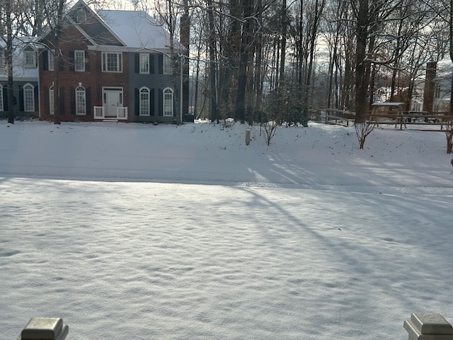
-
1/10-11 super awesome winter SE OBS thread
BG_Slick replied to strongwxnc's topic in Southeastern States
A period of heavy snow has added an inch in the past hour. 2 inches total in Lewisville, NC. My weatherunderground.com forecast moved up from 2.9 to 4.9 in the past hour. -
1/10-11 super awesome winter SE OBS thread
BG_Slick replied to strongwxnc's topic in Southeastern States
Back to steady snow in Lewisville...but only about an inch so far. 26F -
1/10-11 super awesome winter SE OBS thread
BG_Slick replied to strongwxnc's topic in Southeastern States
Definitely in a lull in Lewisville at the moment. Very light flurries only now. More to come based on the upstream radar. Neighborhood kids are already out with their plastic sleds. -
1/10-11 super awesome winter SE OBS thread
BG_Slick replied to strongwxnc's topic in Southeastern States
Still coming down. 26F - dropped 5 since started.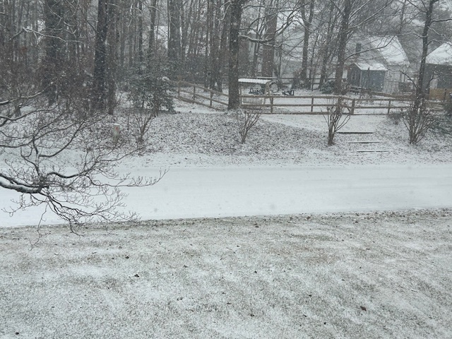
-
1/10-11 super awesome winter SE OBS thread
BG_Slick replied to strongwxnc's topic in Southeastern States
Snowing really good in Lewisville for last 20 minutes. Accumulating very quickly on roads / everything. This is going to be a good one I believe!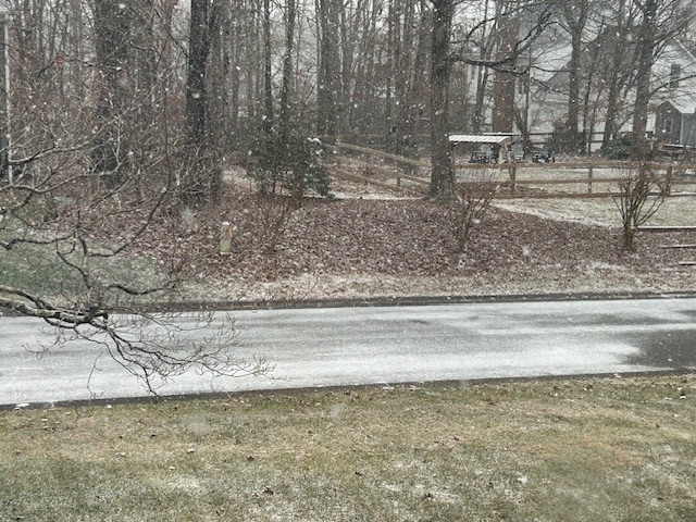
-
All snow now with big flakes. 30F
-
Rooftops, decks are covered. Some on street / driveways in shady areas. Snow and graupel still coming down. Temp dropped to 31F
-
Turned to snow / sleet mix when the intensity picked up. Some rooftop and natural area accumulation starting. 34F Mainly steady sleet / graupel downpour now.
-
Snow falling in Winston Salem area - 36F
-
Very light snow flurries in Lewisville...west of Winston-Salem. What's been showing on the radar is mostly not making it to the ground.
-
Sunday March 12th white rain tracking
BG_Slick replied to olafminesaw's topic in Southeastern States
Had a mix of snow, sleet and rain with a low temp of 33F. Enough to cover cars and decks with a coating of icy mix and a bit on the roof tops...but not much else in the way of accumulation. Radar looked better than actual results. -
Temp dropped to 33 as snow picked up. Drove into Clemmons but changed to all rain there.
-
Show shower in Lewisville - 37F
-
Definitely some good ice accretion on our trees, cars, decks, grass and the trees are starting to sag here as well. Apparently roads / bridges are also affected based on many reported accidents in the Triad. I-40 Westbound at Harper Road was shutdown this morning after a 15 car pileup. Freezing rain continues for now. Temp has been around 30 / 31 but now up to 32. Hopefully we'll get above freezing soon!
-
Potential 1/28-1/30 2022 winter storm
BG_Slick replied to Prismshine Productions's topic in Southeastern States
Snowed again overnight from 1:15 to 3:15 (thanks Ring), but still only ended up with .25 here in Lewisville. -
Potential 1/28-1/30 2022 winter storm
BG_Slick replied to Prismshine Productions's topic in Southeastern States
Just can’t quite get it going.