

yoda
-
Posts
60,261 -
Joined
Content Type
Profiles
Blogs
Forums
American Weather
Media Demo
Store
Gallery
Everything posted by yoda
-
Lol GGEM... it cut back from 12z... but it probably makes more sense now
-
@cae Looks to me that the 00z HRDPS looks like the RGEM/GFS at 48. It also looks more north with the QPF field when you compare 00z at 42 with 18z at 48
-
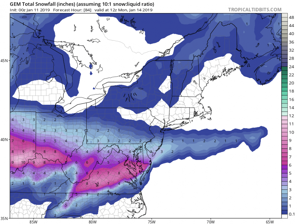
00z CMC still gets 0.5 QPF line past DCA
-
-
Hour 60 continues to look tasty on tonights GFS
-
We'll take hour 54 all day on the 00z GFS
-
Really? Stop trolling
-
-
Snow map is nice for the ICON for the region
-
Haven't you already given up on winter already?
-
Lol. Let's see what the rest of the 00z suite says first
-
And a small closed h5 appears in SE Colorado at 19 too
-
Agree... I'd subtract 2" from his overall map everywhere... as in 6" line becomes 4" and 4 to 8 is the highest on the map
-
Why wouldn't it? Ground will be cold enough... temps in the upper 20s... SRs around or lil better than 10:1... nighttime snowfall...
-
Yup. I think we can do well with the WAA piece with what all the 18z runs were showing. Hope it continues with the 90z runs as well... but once again, 2 to 4 overall is an excellent start to the pattern change
-
I hope we dont have to hear complaining about the models showing only 2 to 4 inches for the weekend tonight
-
18z GGEM DCA meteogram is 17 to 18mm of snow. Correlates to 0.65-0.70" QPF
-
The 18z GGEM link was posted at the bottom of the last page if that's what you are looking for
-
18z GGEM on meteocentre looks nice http://meteocentre.com/numerical-weather-prediction/forecast-systems.php?lang=en↦=na&mod=gemglb
-
From WPC evening update with 4" snow accums chances:
-
The 18z GFS goes well with the ICON tonight good sir
-
Maybe not for you, but it's a good amount better for DCA. I don't mean to be rude, just saying overall
-
18z NAM 2" to 6" for majority of CWA
-
THIS If you are upset over this... I don't know what to tell you
-
12z UKIE is 2-4 for most


