

blizzardmeiser
-
Posts
721 -
Joined
-
Last visited
About blizzardmeiser

Recent Profile Visitors
3,622 profile views


-
We had a lot of great days last August. Enjoy these few days, it is better than 37 and rain
-
JB referencing March 1993!
-
Amazing out. Top 10 weather day.
-
Finally made it to the mid 50s. Hoping to get into the 60s today with some sun.
-
52 and dreary. Looking forward to next week
-
Outta gas and Outta Time: Early March Winter Storm finale
blizzardmeiser replied to Ji's topic in Mid Atlantic
Yup, white rain. -
Just beautiful out there. This is long overdue.
-
Great summary. I agree the forecast was spot on and a 75 mile difference is minimal given the window. Thanks for sharing.
-
Late February/Early March 2026 Mid-Long Range
blizzardmeiser replied to WxUSAF's topic in Mid Atlantic
another daffodil destroyer and crocus crusher? One of these years he will be right. -
Late February/Early March 2026 Mid-Long Range
blizzardmeiser replied to WxUSAF's topic in Mid Atlantic
What are JB's thoughts? He nailed the last storm! -
Feb 22nd/23rd "There's no way..." Obs Thread
blizzardmeiser replied to Maestrobjwa's topic in Mid Atlantic
Northern DE still got 8.5 inches. I believe he said NO Storm! -
Feb 22nd/23rd "There's no way..." Obs Thread
blizzardmeiser replied to Maestrobjwa's topic in Mid Atlantic
7.5 but already has melted a few inches. Very wet snow. -
Feb 22nd/23rd "There's no way..." Obs Thread
blizzardmeiser replied to Maestrobjwa's topic in Mid Atlantic
-
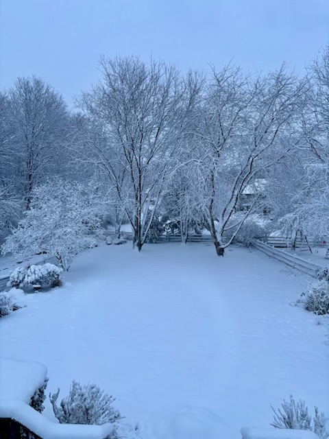
Feb 22nd/23rd "There's no way..." Obs Thread
blizzardmeiser replied to Maestrobjwa's topic in Mid Atlantic
Still snowing but lighter now. 7.5 so far. -
Feb 22nd/23rd "There's no way..." Obs Thread
blizzardmeiser replied to Maestrobjwa's topic in Mid Atlantic
5.7 with heavy snow.


