eaglesin2011
-
Posts
885 -
Joined
-
Last visited
Content Type
Profiles
Blogs
Forums
American Weather
Media Demo
Store
Gallery
Everything posted by eaglesin2011
-
See not "wishcasting" and accepting a dusting, always brings the snow .
-
Yeah, we haven't got "the big one" but still allot more active then it was last year . After last weekend storm, a 1-4 inch storm will look like a ton of snow. "Wishcasting" obviously isn't working.
-
Most of the models have been pretty consistent as a whole with their max outputs of a 1-3 or 2-4 event for the Richmond area. The only real question is if the beaches get more or not.. I doubt at this point it shifts enough west to give much more then the 2-4 max here... (Especially how the last storm affected the area)
-
Eh not always .. still could move too far west and be rain or another sleet fest... You know dry air will somehow find a way in at some part even when not modeled.. lol. All and all, good trends so far...
-
On the brink in the RIC again...This is where the good trends stopped last storm. Should start seeing better overall model agreement with these next few runs. A few miles either way, will make all the difference.
-
Yep, found that out with yesterdays storm.. Definitely feels ❄️❄️❄️ though
-
Allot of radar hallucinations will be going on with this one ..
-
I don't think that's going to amount to anything but interesting to see if it backfills more or not... Some returns down south look to be father west the forecast
-
Still getting decent jogs on the models for this current system , only other issue is the dry air around here.. Heck Yesterday's storm had an issue fighting the dry upper air.. Hopefully we get another decent bump or two but time is running out now..We will see
-
Prob about an hour left rates really never increased here prob actually decreased dry air always seems to find its way in here somehow lol.. owell, at least just about everything is white now .. side roads prob will end up with at least a dusting
-
Looks like a decent band with better rates is holding together.. if does hold,should be coming through in the next 1/2hour or so
-
Radar filled in again maybe we will have this hold on into the 7pm-8pm timeframe. A nice dusting to inch + definitely looking more likely now (mainly on grass and decks ) but temps falling still so gonna be slick soon on them untreated roads
-
Well temp also almost at freezing now .. so everything will stick soon.. too bad the rates are so pathetic.. maybe the models will be right and the back end will be better ..
-
Probably every time it looks like it's about to pick up it slows back down.. good snow tv . If we get a dusting I'll call that a win.. Future radar shows still ending at around 7pm but I think it will be closer to 530/6pm before it gets pretty scattered and even more light
-
Just started to here ... Mainly deck,car , grill not street or grass areas yet
-
Yep, prob best rates of the day but would still consider it a steady very light snow
-
Who needs any of that when we got 2 feet coming next weekend?...lol
-
Yeah, gonna need allot better rates then this to even get a dusting.. it's so light right now... Temps down to 36 That 230-430 time frame is our window for accumulating snow, most likely
-
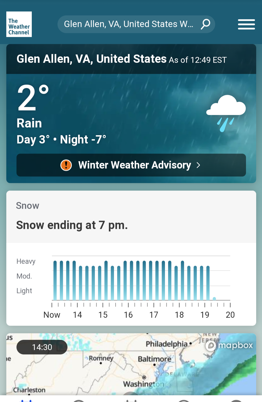
Obviously an error but Wether channel website currently showing for this area . I know temps are dropping but common..lol

-
Back to almost all rain now here very light....
-
Yeah starting to turn over here finally too.. Roads are gonna be crazy right b4 rush hour if we we get some heavy bands around here . Rates are gonna be the key
-
You wouldn't be going anywhere fast for awhile, if that even came close to happing ..lol
-
Still rain and actually seems brighter here at the moment, barely raining Temp down to 38
-
Bet the under/ cash out & run!
-
Lol! Alot out there in fantasy land but this weekend it's definitely looking better at the moment.. We again are on the brink of it going either way around here...