

katabatic
-
Posts
314 -
Joined
-
Last visited
Content Type
Profiles
Blogs
Forums
American Weather
Media Demo
Store
Gallery
Posts posted by katabatic
-
-
2 minutes ago, michaelmantis said:
I'm 5 miles south of where you will be. The last storm had the front end precip a sloppy mess (my backyard was full of slush) but the backside was *nice*. Best flakes I've seen in years.
Parts of the Fox Valley (Aurora for example, 15 miles south of Algonquin) are notoriously a few degrees cooler in the dead of winter.
We are far enough away from the Lake that usually lake warming doesn't hurt us that much. But we have got a few Lake bands when all the stars align.
Provided the low doesn't make some crazy big jog north, the lake "warming" will be less of an impact out here.
Thanks for your insight! How much did you end up with the storm that just passed after all was set and done?
-
5 minutes ago, RCNYILWX said:
If anyone has specific LOT centric questions on forecast stuff from today, ask away and I'll try to reply a bit later.
Apologies for the lack of a more in depth meteorological dissertation in the AFD lol - just less and less time available for us on days like this.
Sent from my SM-G998U using Tapatalk
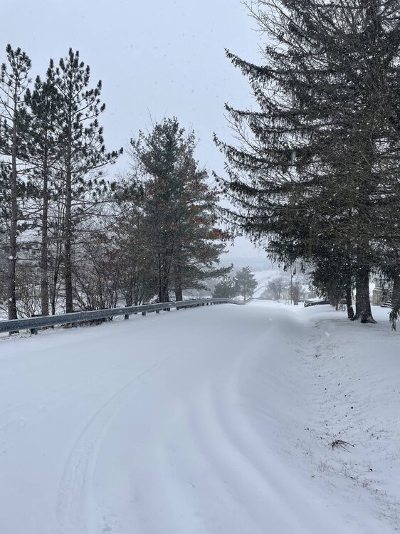
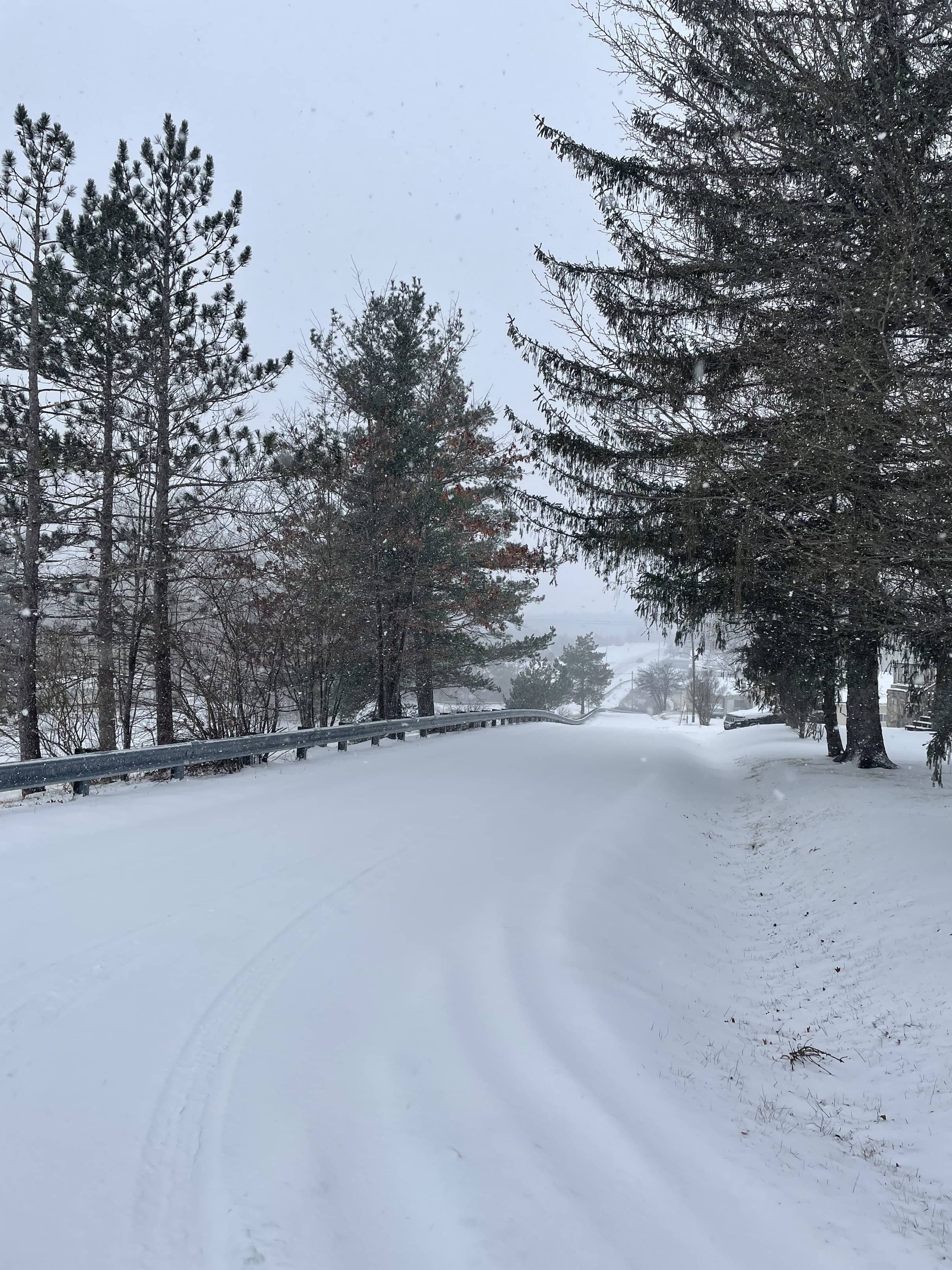
I'm driving to Algonquin tomorrow from western Maryland to chase the storm. My friend is right on the Fox River so ~35-40 miles NW of the Loop and am staying with her for the long weekend. I used to live in Chicago and still follow the weather there closely. At least where Algonquin is, I am not too concerned with mixing w/rain although the ratios for a time will be akin to wallpaper paste. Your thoughts on accums for the Fox River valley based on what you see/know now?
-
Low in a perfect spot @60 hours and 973 mb for those in NE IL. If this comes to fruition, it will be remembered for a long time. Looking forward to being there for it.,
-
 1
1
-
-
21 minutes ago, peribonca said:
How bad is the freezing rain situation over by deep creek?
I'm about 10 miles south of the lake and it's 30.9 IMBY. Roads are a bit slushy in spots, but they do such a great job out here that if you are traveling, you'll be absolutely fine. I have to go to Morgantown later this afternoon and have no concerns.
-
20 minutes ago, NorthArlington101 said:
I assumed the 6z GFS sucked based off this for some reason... 24hr+ snowstorm with cold temps? That's awesome.
Biggest 12z suite of our lives.
Ha, this was a good news story! And yes, 12z will be telling - for 2 reasons (at least for me). Next week's (hopeful) storm for us and I'm leaving for Chicago Thursday. 0z had a historic blizzard in NE Illinois (as had countless runs in the days prior); 6z lurched south and east leaving Chicago with little more than light snow and plenty of wind. Cross your fingers.
-
1
-
-
I just measured 6.8 inches in MLP. Steady, heavy snow all morning although the dreaded pingers have started to hit the window in the last few minutes. But what a beautiful surprise.
-
9
-
-
Wow. Intense rates of snow continue in MLP. This was not expected in this part of Garrett County. Temp has fallen further to 28.8 with the heavy snow. Since 3:30 AM when it started, we have picked up 4.8 inches so far (accumulating currently 1 1/2 - 2 inches per hour). Waiting for the pingers to start, but knock on wood, none since the precip began. Very small flakes currently although I think some of that is due to the increasing wind (currently out of the ESE at 24-30 MPH).
-
10
-
-
6z GFS is now showing a similar flavor to what the Euro showed at 0z for next Tuesday. This looks like a step in the right direction for areas east of the mountains.
-
4
-
-
Nice front end thump so far. Oscillating between all snow and a 50/50 sleet/snow mix. WSW up for Garrett County but mostly along/east of the divide. I've picked up a quick inch imby as the temp fell from 32 to currently 29.7. Hoping to hang on to this as long as I can before it washes away.
-
5
-
-
1 hour ago, andyhb said:
Those 00z runs were almost unanimous on a top 5 type snowstorm for Chicago and a wide swath of the Midwest. This thing is an absolute nuke when that shortwave kicks negative tilt and the mass evacuation really intensifies.
The PV streamer into this thing is going to be a sight to behold on near-term guidance/satellite.
I used to live in Chicago and am coming out Thursday to chase - unfortunately the 6z GFS lurched E and SE by a fairly sizable amount and left Chicago with reduced impacts as the center now moves over central Ohio vs. Indy. It's just one model run but don't like seeing that as we get towards showtime.
-
3 hours ago, clskinsfan said:
Pretty historic week for the Midwest. Wish I was already retired. I would chase those two bombs.
I used to live in Chicago and am chasing the weekend storm. Leaving noon Thursday and staying with my BFF who lives in the far western burbs. If it looks like there will be a lot of lake enhancement, we'll go stay with her mom who lives in the Loop. Last couple of runs, the center goes over Indianapolis which is the perfect spot for a Chicago snowstorm. Hoping it stays that way because it's a long way to go for cirrus and below zero wind chills lol.
-
2
-
-
Looks like a fairly significant upslope event today - borderline WSW criteria. Already about an inch here since 5 AM; heading out shortly for Canaan where the webcams are impressive. 31.5.
-
1
-
-
Tough to measure exactly with the sleet but calling it 4.5”. Took a nice long walk earlier ‘round the hood.
-
17
-
-
17 minutes ago, Terpeast said:
I’m just inside that pink line on the SE. I think they’re being little too generous with that area
I also think they're being too generous with the term snow. Sleet bomb continues here. If it were snow, then I could easily see it being 2" per hour.
-
@umdterps29 its the same here in MLP - about a 50/50 split. Heavy rates are trying to do their thing. At least its frozen, right.
-
Some hope (at least out here) - transitioned over to snow (for now). Not heavy either which I think is a good sign. Temp fell back to 28.0. Gosh I hope that the WAL mixed out. Fingers crossed.
-
2
-
-
8 minutes ago, mdhokie said:
Appreciate the update... We were thinking of driving back up today. I'm hoping the main roads will be treated.
Saw another post that higher up towards the lake, it's snow, but here in MLP, it's still 100% ZR. Just went outside and as would be expected, if the road isn't treated like mine (I live on a street with only one other house), it's a skating rink. If you venture out, hoping for safe, safe travels for you/family.
-
 2
2
-
-
3 minutes ago, clskinsfan said:
If it actually snows there. Sleet pellets nw of Winchester right now. We will see what happens when heavier stuff comes in. But if I was gonna chase I would go up into central PA.
This forecast has been a mess from the get-go. All kinds of crap happening upstairs. Speaking of chasing, booked a flight to Chicago Thursday. GFS is, shall we say, interesting (and the Euro too but not quite as extreme) so basing a chase there to see what kind of trouble I can get into over the MLK weekend. Hopefully it's better than this lol.
-
2
-
-
Precip started in southwest Garrett County and after initially a minute or two of sleet, is primarily freezing rain. Temp also rose from 27.1 to 29.7 with the onset of precip (weird, I know). Hopefully the column cools. DP is 23 currently.
-
The forecast for Canaan Sunday looks pretty epic - high of 27 with a couple inches of upslope. Just bought tubing tickets...and there are a ton remaining (and only $36 pp). Just sayin' if you are feeling like a road trip to (a real) snowtown...
-
1
-
-
23.0/15.3 at my weather station but the GC airport is 34/1. Inversion is already fairly strong obviously. Interesting to see how this plays out. A similar setup last year gave me a sleet bomb after a bit of snow.
-
1 minute ago, mdhokie said:
Drove home from Deep Creek today and the temp didnt change much along the way, which is odd. 38 when i left, hit a max of 40 around Hagerstown and was 39 when i got home to Ellicott City.
You went the wrong way lol
-
Surprised by the high of 43.5 today. Currently 39.6 but a dry DP of only 7.6. That'll help big time come show time.
-
14 minutes ago, Heisy said:
The question I’m wondering is how many cutters will it take to finally get legit lower heights under the block in 50/50 land. End of euro, prob have to run that another 3-5 days+ for us to have a good setup

.Your question is the same one that I (and I am sure most) are asking after that Euro run. Last year, I get it - raging SER a la Nina. But what do we need now to break this OHV track?
January 2024 Banter
in Mid Atlantic
Posted
Heading out tomorrow around noon for Chicago (specifically Algonquin). Opted to throw my shit in the truck and drive vs. try and make the United flight with the weather/grounded planes 'n all. Will try to intercept LES in northern Indiana Saturday if it materializes as well. Staying with one of my closest friends who is still to this day continually amazed at how much I love snow. Trying to sweeten the pot for her to come with me by cooking for the whole family the rest of the long weekend lol.