OSUmetstud
-
Posts
16,521 -
Joined
-
Last visited
Content Type
Profiles
Blogs
Forums
American Weather
Media Demo
Store
Gallery
Everything posted by OSUmetstud
-
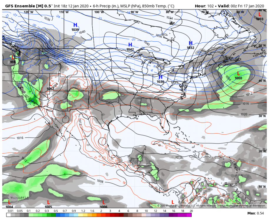
Gefs coming around. My feeling is you get it okay but it's a bit late to get the goods.
-
I think I'll take the under on the higher numbers.
-
Hi, I got a response from pivotal weather on the ecmwf vertical levels on the soundings. The vertical levels are: 1000, 950, 925, 900, 850, 800, 700, 600, 500, 400, 300, 250, 200, 150, 100. Pivotal Weather Team [email protected] www.pivotalweather.com | PO Box 721572 • Norman, OK 73070
-
Lyons brook ns in pictou county received 24.8" in the final eccc report.
-
How much for Auckland?
-
Nah, there a def band that setup over the New Glasgow/Truro area that dumped all day. I've seen social media reports of close to 2 ft there.
-
The EPS is actually the coldest guidance during that period...
-
It's a bit different. The gefs has been way more aleutian ridge happy compared to other ensemble guidance. The eps and to some extent the geps is trying to ridge into eastern ak and break down and reverse the pna.
-
First time I've seen the ridge in ak over the past several cycles.
-
It shows 4 SM and light. KFMH 080356Z 04006KT 4SM -SN FEW004 FEW025 FEW044 01/M00 A2981
-
Decent move northwest compared to 12z.
-
We have a strict no masturbating while posting policy, here.
-
It does seem like there's a touch more precipitation further northwest than modeled with that 700mb frontogenesis band (it's snowing at KISP), model products seem to have the lift there but they have it very dry, maybe it's a bit more moist than progged?
-
I would gladly to some snow to a little bit of rain over nothing. Plus light snow and blowing snow Thursday on the backside.
-
This is a messenger throwback thread.
-
They must like Kevin, then. It is surprising to learn that many mets don't like snow. Like there's 11 of us in our office here and only 2 of us are really into snow.
-
Ahh, good to know.
-
Scott's coworkers seem to all love the heat.
-
Yeah agreed. It was a very slow start this year, but we've now had a really solid 2 weeks, almost 40 inches since Christmas Eve.
-
Yeah, the storm went to town such that max accumulation would have been just south of the Cabot Strait. I don't agree with the vis observations, not sure if we would have gotten to a 4 h blizzard, but to have over an inch an hour rates with gusts over 40 kts and not have a single ob of 1/4 sm is silly. There were whiteouts on my walk to work this morning.
-
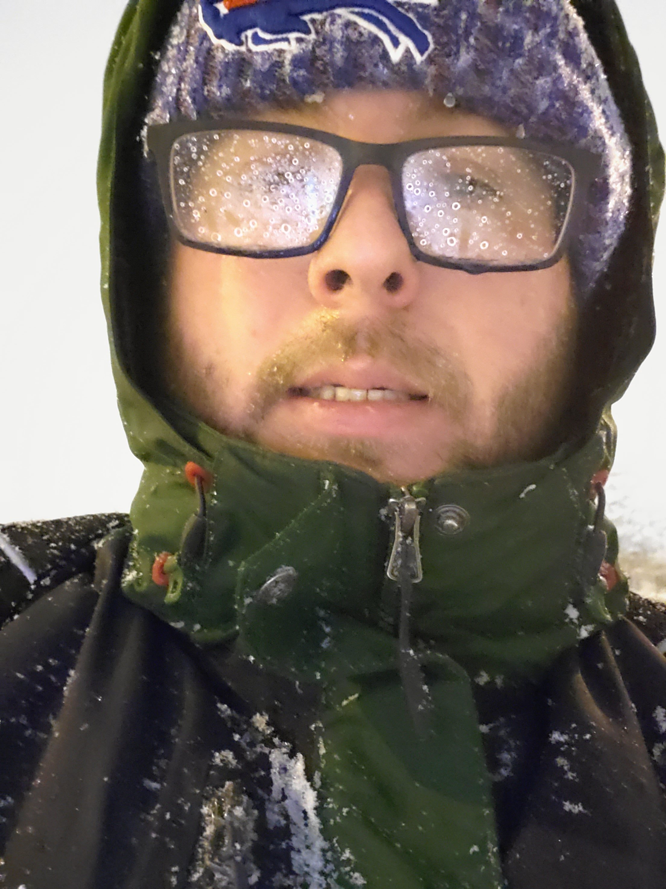
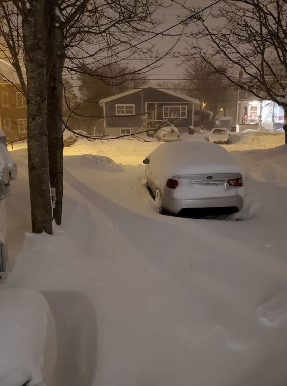
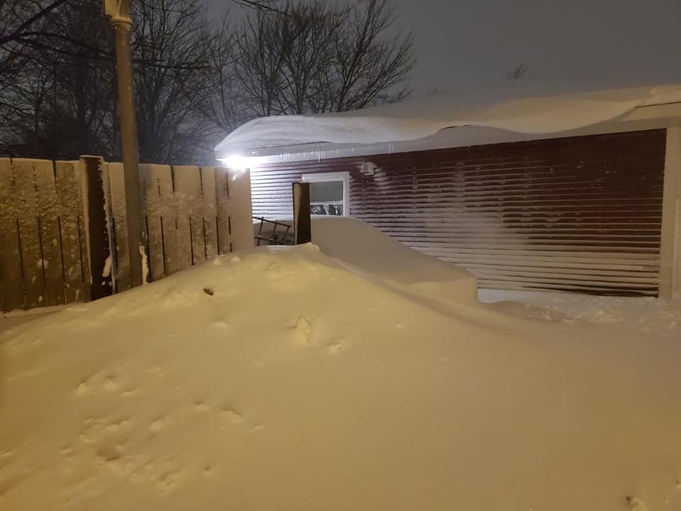
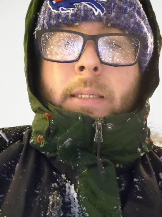
15.4" at the airport so far, everything is kinda winding down though. No technical blizzard. Airport was crazy stingy with lowering visibility last night. These are a few from my walk in this morning, luckily I only live about 1/2 mile from work. 82511633_2562072610783425_3872995701289910272_n.mp4
-
Sure. I had to walk home from work tonight. Walking in for 715am.
-
About 6" now.
-
You are insufferable. I'm not a denier.
-
I know the hadley cell expansion is real. I'm just saying it hasn't detrimentally affected SNE snowfall in any way, yet.