OSUmetstud
-
Posts
16,521 -
Joined
-
Last visited
Content Type
Profiles
Blogs
Forums
American Weather
Media Demo
Store
Gallery
Everything posted by OSUmetstud
-
Widespread Snow Potential January 16th to January 18th
OSUmetstud replied to sferic's topic in Upstate New York/Pennsylvania
Also...the sref package is less amplified than the op 12. -
Widespread Snow Potential January 16th to January 18th
OSUmetstud replied to sferic's topic in Upstate New York/Pennsylvania
Yeah. -
Widespread Snow Potential January 16th to January 18th
OSUmetstud replied to sferic's topic in Upstate New York/Pennsylvania
It's a red flag to me that the 12 is too crazy when the nam3km is less amplified. -
Widespread Snow Potential January 16th to January 18th
OSUmetstud replied to sferic's topic in Upstate New York/Pennsylvania
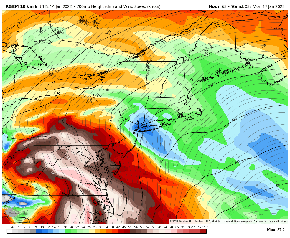
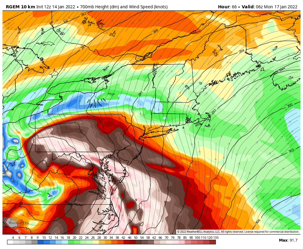
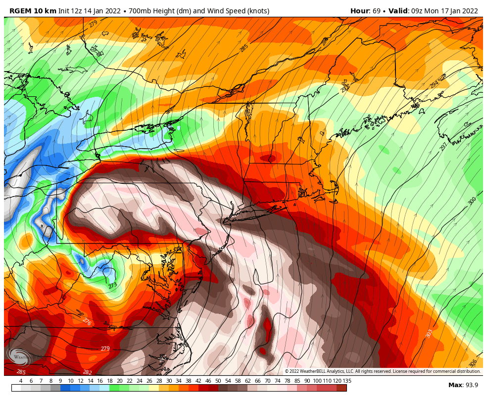
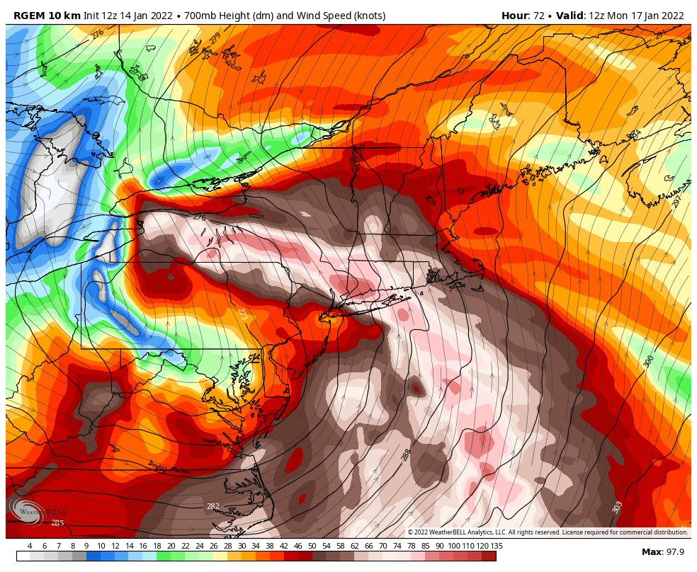
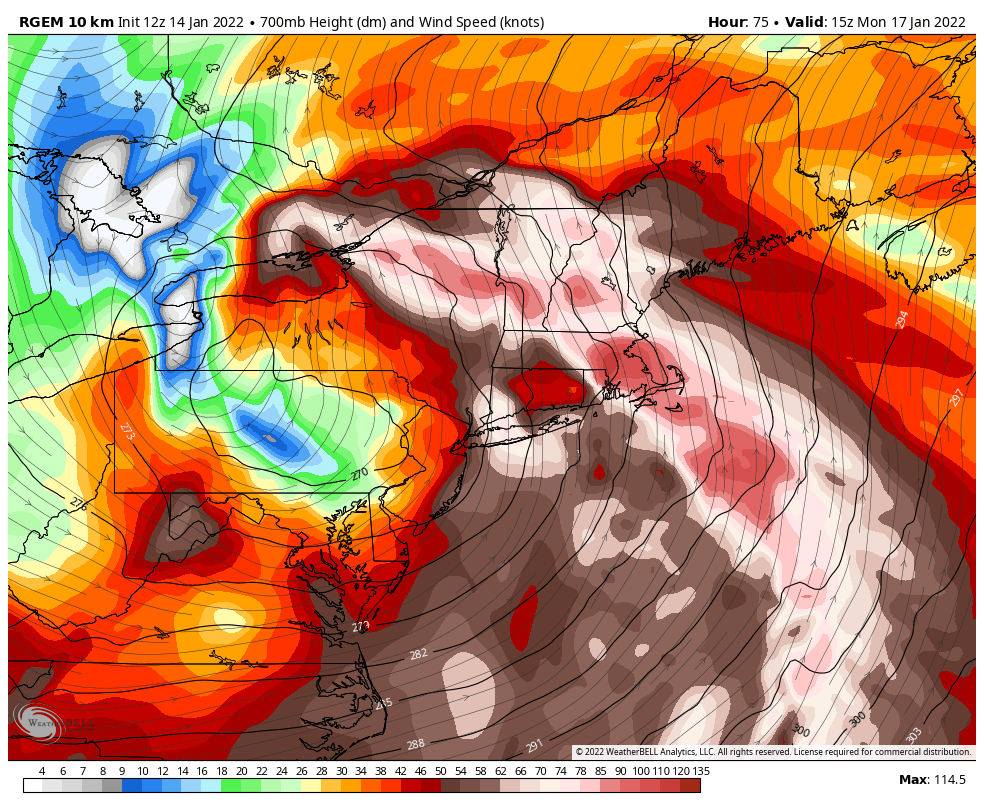
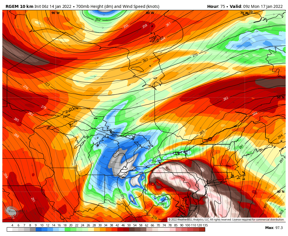
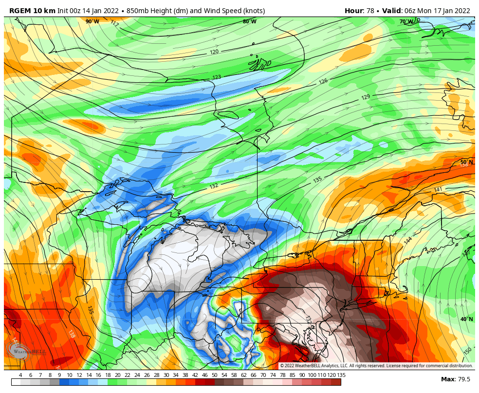
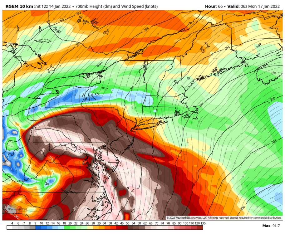
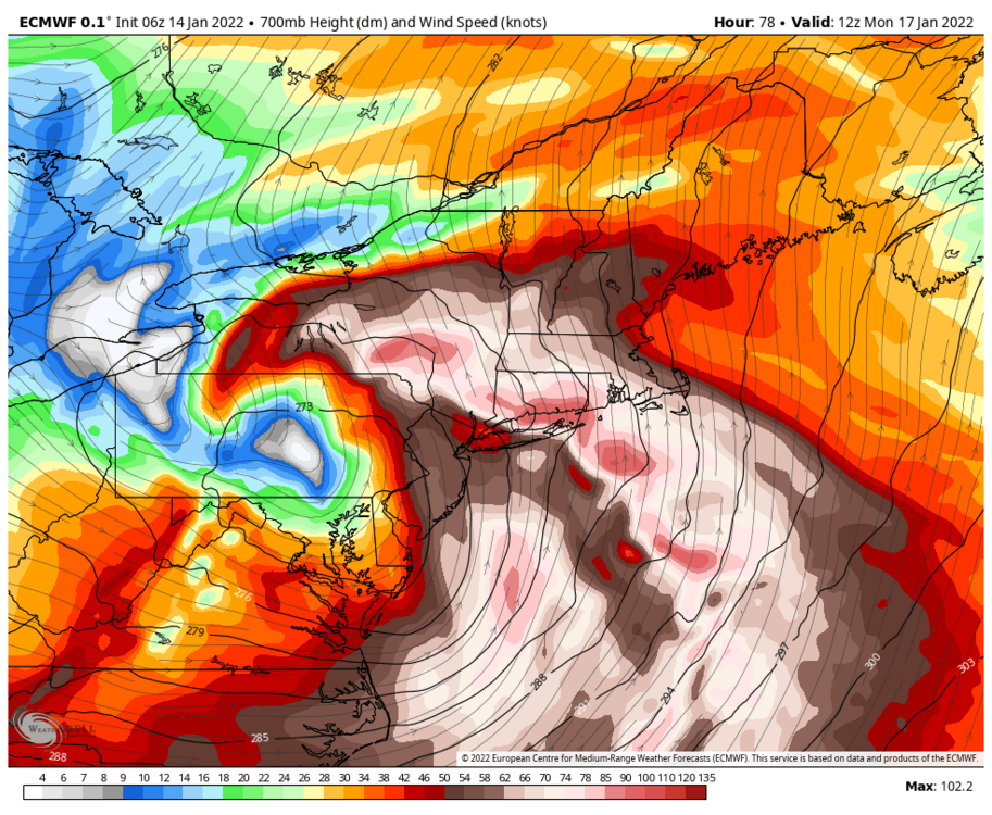
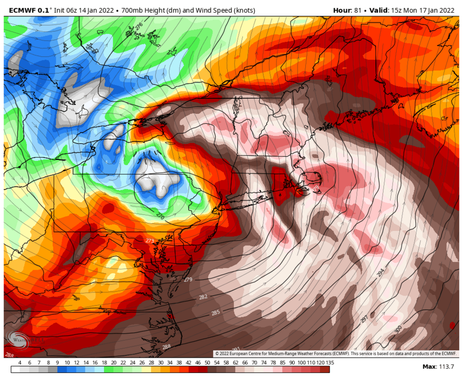
I think this is a good dynamic way to look at things. You want to be near the northwest edge of the 700mb jet where the mid level lift is maximized. Anywhere within the strong speed zone is going to at considerable risk of mixing and the dryslot.


-
Widespread Snow Potential January 16th to January 18th
OSUmetstud replied to sferic's topic in Upstate New York/Pennsylvania
It's not a storm without crazy ampd NAM runs. -
Widespread Snow Potential January 16th to January 18th
OSUmetstud replied to sferic's topic in Upstate New York/Pennsylvania
Yes for sure. If a similar representation happens I'd think it would be snow. I think the rdps is overdoing the effect of downsloping off the Apps. -
Widespread Snow Potential January 16th to January 18th
OSUmetstud replied to sferic's topic in Upstate New York/Pennsylvania
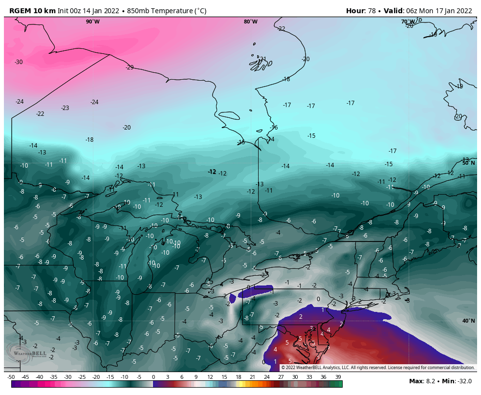
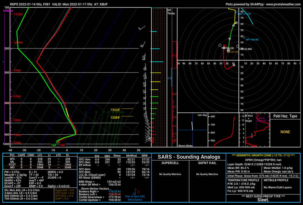
Its orange on wxbell. And the 850 t on the sound is above freezing. I like the rdps a great deal as a model but this is far outside its normal range. I like to use it more like the NAM...mostly only within 48 h.
-
Widespread Snow Potential January 16th to January 18th
OSUmetstud replied to sferic's topic in Upstate New York/Pennsylvania
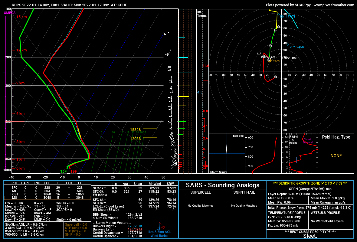
It's sleet over buffalo. I posted about this earlier. -
Widespread Snow Potential January 16th to January 18th
OSUmetstud replied to sferic's topic in Upstate New York/Pennsylvania
I think its probably overcooked. The mountain downslope process is a real thing. But that crazy inflow is not just at 850 it's present at 700 and even at 500. So the local temperature change should be offset a great deal through all that inflow converting to adiabatic lift.

-
Widespread Snow Potential January 16th to January 18th
OSUmetstud replied to sferic's topic in Upstate New York/Pennsylvania
I think the random ip showing up in buffalo on the rdps near the end of the run is the result of downsloping off the Apps/Alleghany front. It's a weird feature and a bit unexpected but physically possible.

-
The pdo is the lowest since 1955 lol. Very chilly pac overall.
-
I think you'd argue that's a pretty good Nina look.
-
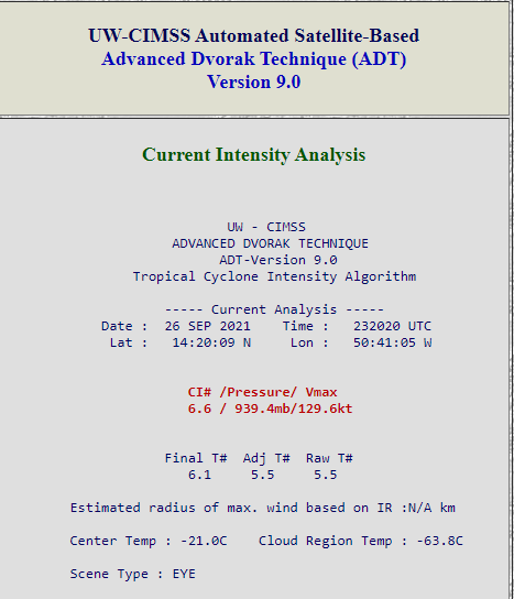
Looks real. 941mb estimated on the latest dropsonde. Pressure rise of 12mb.
-
other folks having the same discussions lol.
-
Damn thing looks like shit compared to earlier. What a shame. Raw T down to 5.5 now lol.
-
I believe it was a cat 5 yes. The only evidence we are ever going to have is the satellite degradation in the past few hours before recon and the pressure. Because there's nothing else. So either they think that's enough or they don't in best track. And that's fine. I'm making a case. You don't have to like what I'm presenting. But you actually suggested there's no evidence. That's not true either. You just don't think the evidence im presenting is strong enough.
-
We all know it was a cat 5 was a tongue in cheek line, you're taking it too seriously lol.
-
Well this is your opinion and that's fine. The degradation in satellite presentation is literally an objective measure. It's almost fallen a full T number in the past 5 hours. They could still upgrade in best track.
-
so ****ing what? All intensity estimates are subjective. It's total gaslighting to suggest the pressure drop of 15mb from yesterday along with a degraded satellite intensity over the past 3-5 hours isn't at least some evidence that it was stronger a few hours ago before the plane arrived.
-
929mb on the sonde when the damn thing has dropped almost a full T number in objective dvorak in the past 5 hours lol. I know it aint much but there's something here: 223300 1425N 05051W 6958 03062 9910 +109 +100 013066 070 068 005 00 223330 1425N 05049W 6953 03048 9887 +109 +102 012072 073 070 004 00 223400 1425N 05047W 6957 03024 9850 +124 +093 012074 076 072 003 00 223430 1425N 05045W 6950 03004 9817 +124 +091 012081 082 074 006 00 223500 1425N 05043W 6935 02973 9736 +153 +086 010091 094 066 029 00 223530 1425N 05041W 6951 02900 9693 +134 +103 011112 119 111 077 00 223600 1425N 05039W 6978 02772 9607 +119 +133 359107 117 121 071 01 223630 1425N 05037W 6984 02647 9423 +183 +135 345067 096 134 035 00
-
Raw T has dropped to 5.8 now. It was 6.7 just a few hours ago. The IR sat looks obviously degraded and it looks like a hurricane in the midst of an ERC.
-
This is just objectively not true. Multiple SFMR readings of Cat 5 surface winds via recon yesterday Dropsonde yesterday supported Cat 5 intensity The satellite intensity has obviously degraded over the last few hours before recon entered The pressure dropped 15 mb since yesterday's recon (~929 mb) and now there's a double wind max, suggesting that intensity peaked before they entered.
-
It might be a 5 now. But it was stronger a few hours before the ERC started. Maybe they'll find it on the next pass.