Tatamy
-
Posts
2,323 -
Joined
-
Last visited
Content Type
Profiles
Blogs
Forums
American Weather
Media Demo
Store
Gallery
Everything posted by Tatamy
-

June 2020 General Discussions & Observations Thread
Tatamy replied to Rtd208's topic in New York City Metro
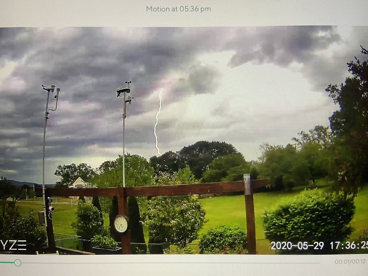
Violet lightning off to my west
-
June 2020 General Discussions & Observations Thread
Tatamy replied to Rtd208's topic in New York City Metro
We are getting steady rain with a few rumbles of thunder with the lead cell. Looks like the trailing more intense cell will pass just south of my location. -
May 2020 General Discussions & Observations Thread
Tatamy replied to Rtd208's topic in New York City Metro
Had some CTG action earlier when the line passed through
-
May 2020 General Discussions & Observations Thread
Tatamy replied to Rtd208's topic in New York City Metro
It’s moving through here now. Thunder and lightning and a heavy downpour with it. -
0.72” total with this event with the squall line now past.
-
This system has been a good wind producer out here as well. The highest gust I have seen so far is 37 mph. Many reports of gusts to 40 mph+ in and around the city and out on LI especially on the south shore.
-
Just getting into the core of the heaviest rain activity. 0.44” so far. I am thinking 1 - 1.5” out here in the Lehigh Valley. Earlier calls for 3-5” out here seem overdone as of now.
-
Saw a video from Fire Island showing light snow falling there about 30 minutes ago.
-
It should also be noted that storms crossing the Delaware River typically pulse up as they start to move across western NJ. I have seen many mild storms really pop as they make that move after they pass through my area.
-
Strongest wind gust with the activity here so far is 27 mph.
-
It’s a silent one here so far. Just a healthy downpour. No lightning strikes detected on my Weatherflow.
-
Nothing burger so far here in eastern PA.
-
Don’t know if anyone here is watching the Weather Channel but they have had some amazing footage of the tornadoes down south today.
-
That depends on your location. The gravity wave that swept through my area about 9:30am this morning took care of that. Wind gusted to 46 mph at that time. Many observations of winds along the south shore of LI from 40 - 65 mph today.
-
Tremendous wind storm underway out here. Have seen a gust to 43 mph in the past 10 minutes.
-
36 Mph wind gust with the second line a few minutes ago. Pay attention to that one as it moves eastward across NJ. That is the actual cold front.
-
Wind gust to 29 mph with the passage of the squall line here. It was accompanied by a rain shower.
-
Have flipped over to snow out here. 35*
-
February 2020 General Discussions & Observations Thread
Tatamy replied to Rtd208's topic in New York City Metro
We actually have snow on the ground for Super Bowl Sunday out here. Still steady light snow 32*. 0.3” new -
February 2020 General Discussions & Observations Thread
Tatamy replied to Rtd208's topic in New York City Metro
Regarding today’s weather there is a weak system moving through eastern and northeastern PA at this time. Areas that are under the 20 - 30 dbz echoes are actually receiving a burst of moderate snow at this time. If you are above 800 to 1000 feet it is sticking and accumulating. Lower elevations are seeing snow but it is not really sticking. If you are under light precip it is mixed snow and rain. If you live in or will be out and about in northern NJ or SE NY you can expect to see this burst of snow come through as the afternoon progresses. Getting steady light snow here now. I checked traffic cams near Hazleton and that is where it is sticking. It had not yet reached MPO as of a short time ago. -
12z Euro goes all in for 2/3.
-
Wintry mix potential weekend of Jan 18-19, 2020
Tatamy replied to wdrag's topic in New York City Metro
Up to 37 at my station on Fire Island. -
Wintry mix potential weekend of Jan 18-19, 2020
Tatamy replied to wdrag's topic in New York City Metro
At my weather station on Fire Island the temperature is at 33*. It’s been at that level since about 1pm. Winds have backed around to south but are not strong at 8mph with gusts to 11mph. -
Wintry mix potential weekend of Jan 18-19, 2020
Tatamy replied to wdrag's topic in New York City Metro
We had light sleet for a time and have now gone back to light snow. -
Wintry mix potential weekend of Jan 18-19, 2020
Tatamy replied to wdrag's topic in New York City Metro
That sleet line looks like it is making a beeline for the city and northern NJ.