-
Posts
2,323 -
Joined
-
Last visited
Content Type
Profiles
Blogs
Forums
American Weather
Media Demo
Store
Gallery
Everything posted by Tatamy
-
How does the power grid do out there with run of the mill wind gusts?
-
Both the 0Z GFS and the 0Z ECMWF are calling for widespread damaging wind gusts up to 50 MPH across the area (includes many inland areas and coastal areas) with the passage of Nicole and the phasing with the Polar jet. Timing on this would be Friday night and Saturday morning for worst impacts. Places along the coast could see gusts closer to 60 mph with the Euro solution.
-
There was one moderate snowstorm in the region on 2/12/75.
- 1,381 replies
-
- 1
-

-
- 1,381 replies
-
- 1
-

-
- 1,381 replies
-
- 1
-

-
Just picked up another 0.50” in the past 15 minutes so I am up to 2.52”
- 1,381 replies
-
2.02” on the day.
- 1,381 replies
-
- 1,381 replies
-
Been pouring here during the past couple of hours. Now at 1.04” for the day.
- 1,381 replies
-
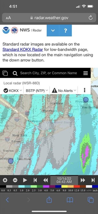
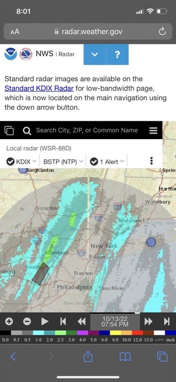
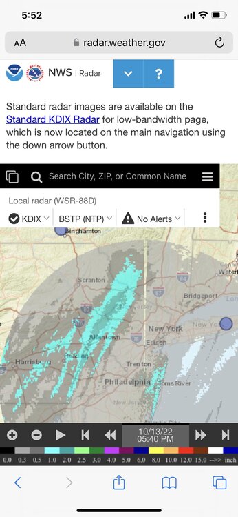
Models have been mostly focused on two bands of heavier precip with this event. One over eastern PA and the other over at least parts of LI and CT. I am up to 0.37 on the day with the former. 12z Euro looks good for LI and CT with the later.
- 1,381 replies
-
The disturbance that will feed into this feature is moving up along the VA/MD coast currently. Interesting to watch the radar and watch this all evolve.
- 1,381 replies
-
Rain starting to break out across parts of the area. I have recorded 0.23” at my station at Cherry Grove with the showers moving up from the south from off of the ocean.
- 1,381 replies
-
- 1
-

-
34 with widespread frost here.
- 1,381 replies
-
Are you able to get a news media app that will tell you that it will rain or snow or thunder in X minutes and that it will last for () minutes? I get that from the NBC station in Philadelphia and it is a great feature.
- 1,381 replies
-
Storm total since 10/1 up to 2.63”. 1.94” of that has fallen today.
- 1,381 replies
-
- 2
-

-
0.06” here today with light rain and drizzle since about midday. Big gradient in rain totals to my south especially between Quakertown and Doylestown. Amounts near the Doylestown area over 2”.
- 1,381 replies
-
1.10” at my station on Fire Island at Cherry Grove.
- 1,381 replies
-
Placida Boat Ramp in Cape Haze measures a recent gust to 82 mph. The highest gust in the 4 pm hour was 92 mph as the northwest eyewall crosses the area.
-
Recent gust at this station to 65 mph as the northwest eyewall moves in.
-
28.19 in HG at Placida Boat ramp near Cape Haze (Davis network).
-
I was posting that data earlier.
-
Barometric pressure at this station now down to 28.58 in HG
-
Looks like the wind sensor at this station has been knocked out. Barometric pressure at the station is 28.75 in HG
-
Most recent gust at this station up to 97 mph.

