SnowNiner
-
Posts
1,906 -
Joined
-
Last visited
Content Type
Profiles
Blogs
Forums
American Weather
Media Demo
Store
Gallery
Everything posted by SnowNiner
-
That's beautiful right there. GEFS has officially joined the party. Bonus: cold and wet. Hopefully the EPS didn't decide to quit overnight and take its ball home.
-
It does. This run seemed a little later to the party though. Next week nailing down the timing of this change will be interesting.
-
I like it, thanks!. +PNA/-EPO ridge with the TPV on our side of the globe stretched into eastern Canada. And no SE ridge! Let's get the GEFS on board and see it get closer in the next week...hopefully soon we'll be tracking storms and not patterns.
-
Now that's what I'm talking about. Hope it's right. How does the STJ look during this period on the EPS? Does it dry up and we go northern stream dominant?
-
Now you go in the corner, and you think about what you just said Mr. Long range I'm waiting for the ensembles to tell the tale. Two GFS runs in a row is noteworthy I guess, but I'd like the ensemble means to show an average out likelyhood of a better pattern down the road.
-
Agreed. The western trough sets up and never lets go. December is toast for the SE if the ensembles consensus is right; lights out till January. That's kinda every year so...no big whoop. I'm just hoping we kick it east by new year.
-
Yeah I think the 50/50 low is way too north as well. Everything needs to shift south. We need the TPV sitting in SE Canada for the cold and south push...
-
this is beautiful. We need to start seeing some serious clown map action soon. Come on man!
-
Doesn't seem like the GEFS supports it very much though. Very broad brush statement I know and the pattern is a better read than clown maps, but I'd think for a good pattern you'd see an uptick in the snowfall mean on the ensembles. I love seeing that progression though, we haven't seen a nice Miller A storm even modeled for us in I can't remember...
-
That's pretty classic right there. I won't knock the JMA, but let's just say I'd feel better about a potential storm if it was the EURO and UKMET.
-
November made me think this may be the year we slow things down and get some blocking, but then it evaporated. Still rooting for your outlook though. But maybe we should be prepared to deal with the in and out perfect timing quick hitters just the same.
-
I'm not worried about it being too cold per say, but the pattern shifting to be northern stream dominant, like what the operationals are starting to show right now long range. Likely due to the big PV setting up shop in central Canada, with low pressure energy circling around it. With so much moisture from the pacific jet over the last several months, it would be beyond ironic and sad to have it dry up right when we finally have fresh cold nearby. Clipper systems I just do not have any trust in to get snow east of the mountains.
-
I swear, if we get entrenched into a nice cold pattern and the STJ dries up...man I'll be so distraught. I'll give up at that point.
-
Thanks CR, yeah you see the storm track better with the heights there. Yeah I guess we don't want lower heights to the west at all, still makes it hard to get everything south.
-
Yeah, I think the PNA goes a bit negative/neutral because essentially there's no ridge on the west coast. I could be wrong through. There's basically a full conus trough as all the ridging is up top. I think in that instance it's a good thing. The vortex is displaced into SE Canada and suppresses the flow so everything's going to come south, with a good feed of cold. All the other indices therefore offset the lack of a west coast ridge. Really like what the ensembles are selling for very end of January to start February. Like Matt said, it looks good. I don't know if it's ever been better? And it could last well into March potentially. Just have to wait another week or so and we should start seeing the models light up in the medium to long range I bet.
-
CR, how do you identify the storm track on the 5h maps? Why did you draw the line specifically where you did there? I know it's suppressed based on the -NAO/PV but why right there? Thanks.
-
For this one, I'll be in the mountains up near blowing rock. Just hoping for some wrap around upslope snow. It's going to be a strong storm I think so I like my chances.
-
Yeah not really any need to model watch the operational runs at this point, it's not healthy. Ensembles look good long range, so hopefully they stay that way. Central US pattern change is happening this weekend. Ours seems about a week later. Strangely, the euro weeklies look just about right on time so far. Just have to wait until the end of the month for the SE. Just hurts losing most of January, and waiting sucks. But it could be worth it if the weeklies come to fruition.
-
Please no. That seems to never work except to get some flurry action at best. Cutter pattern is worse than cold and dry! lol. I think we're just going to have to wait until the pole blocks up, the pv gets pushed SE and the flow suppresses. It may be a few more weeks....I hope. We really need the SSW to get down to the troposphere stat.
-
The +PNA/-EPO is going to come regardless, as it does every year. I'm hoping the SSW will create a true -NAO in February like week 4 of the weeklies (lose the WAR). Get the PV in SE Canada with blocking over top and we crush. It not, we Miller B crap like this weekend IMO.
-
My understanding the SSW split the heck out of and destroyed the PV and reversal of the zonal mean winds was close to a record duration. They still are probably reversed now, have been since January 1. Did I miss something on that?
-
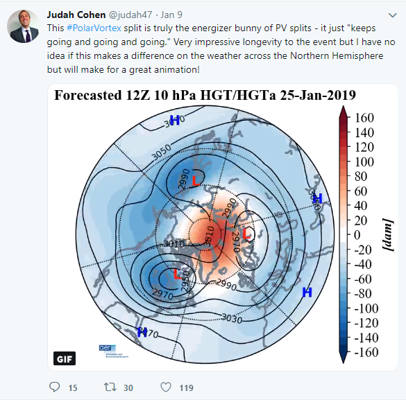
I understood only 5% of either of those tweets, just the very last sentence. February winter good right? No idea why he says it though. Lol.
-
It's strange, both the ensembles look they have this rolling south along the gulf coast. Seems like we always get the A/B hybrid no matter what nowadays.
-
I liked the fact that they preferred the ensembles track, rather than the constant GFS/FV3 inland track. That's huge imo. I'm not bought into this yet, as GSP is not bullish, says it's a mixed bag Miller B that changes everybody to rain Saturday night and Sunday. That wouldn't be the case though I don't think if the ensembles track is correct.

-
Lol, not sure I'm reading this right but it looks like north of the Iredell/Meck county line stays snow or very close to it. I have little faith in a system that moves that far north before transferring giving MBY much frozen, but I hope somebody in the 40 corridor gets slammed. I'd rather have a nice amped storm where some of us score rather than a weak sauce event with a bit of frozen.