

Juliancolton
-
Posts
8,592 -
Joined
Content Type
Profiles
Blogs
Forums
American Weather
Media Demo
Store
Gallery
Everything posted by Juliancolton
-
Huge if true.
-
A fairly uniform 2". What little snow that fell this month has stuck around nicely to spare us the agony of bare ground. But yeah, all else being equal, the deeper and fresher pack will radiate much better.
-
"Looks better at H5" is my new dating app bio.
-
-2.5 here. My spot is losing its edge.
-
I have a couple barns with dirt floors and doors that don't close, if that's what you had in mind! My 560SL is in the home stretch of its winter-long restoration by a friend up in Hudson. Before it returns home, I need to figure out how to keep the barn swallows out this spring. They'll ruin a new paint job before you know what happened.
-
No way, not after last time when you promised me you owned all the cars in the parking garage and needed the catalytic converters for your kid's science fair project.
-
The wasted potential this weekend stings a bit, but at least it isn't a March 13, 2018 type of deal where you feel like time's up if you don't cash in. Our two snowiest calendar months are still ahead of us.
-
Can't wait for the admins to implement reverse 5-posting so we can require the smartest folks to post at least five times a day.
-
My optimism earlier in the week does to have been misplaced. Oh well. I'd roll the dice with a phasing/amplifying trough like this any day of the week. I was on the Walkway this morning at twilight. The floes and brash ice were floating north with the tide, the air was dead still and delightfully frigid, the billowing steam from chimneys across Poughkeepsie was backlit by the glow of dawn. I'm glad to live in a place where even a really crappy winter still looks like winter.
-
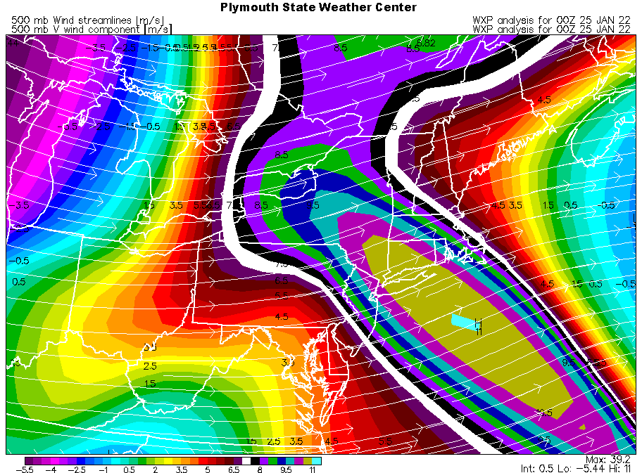
We're not there yet - there's still plenty of inherent uncertainty at this lead time - but we could be setting up for quite the challenging model battle.
-
In whatever the hell this model is, we trust.
-
I'd argue the end result was still a world away. We got a cleaner phase with the southern stream this run, but the Euro's solution actually takes a messy phase in stride - it strings out the southern vortmax and leaves more energy behind. We get the Euro bomb from a more aggressive northern stream and better upstream ridge amplitude.
-
You guys oversold that one a little bit
-
Hey @the_other_guy, any thoughts about the quality of the season so far?
-
The eagle flies at midnight. Snow - white? namaste
-
Out of curiosity, what does this mean? Do you agree with that outlook or are you expecting something else? Would love to hear any analysis you may have.
-
It's coming. We may not jack, but it's coming. edit: I'm too lazy to fix the phrasing there, knock yourselves out
-
 0.9" of nice dendritic fluff. A pleasant little pack freshener, although I do wish it would snow during the daytime at some point.
 -
Don't threaten me with a good time.
-
Absolutely, we talk about that just about every year in here. I don't have my KU book in front of me, but I have to assume the benchmark was their conception made through the lens of the I-95 corridor. I remember when I got the book as a kid, I was almost angry that some of the HV's biggest snowstorms were profiled in the afterthought "interior/near misses" section all the way in the back. lol Tuck the low until I'm sweating the mixing line.
-
Warm seclusion. It's common in mature oceanic storms when the bent-back warm front wraps around the center.
-
I'll raise my glass to Canada. That's a pretty epic storm of the kind you don't pass up. What I cannot abide is that Euro solution with its 5-9" of sand that ruins the ice as well as our futility bid, while burying Boston under feet and feet. Then again, avoiding English beer shouldn't be too much of an imposition...
-
As much as I'd love a significant snowfall this weekend, I must lament that it would probably put an end to ice season after maybe 10 good days of skating/fishing/ice yachting. It's hard to envision getting cold enough for long enough after the progged warm-up in early Feb and beyond.
-
I'd love to see it develop 12-18 hours earlier, lest the best conveyor belt dynamics be relegated to NNE. That system is in its infancy there.
-
They should have sent a poet.


