

penndotguy
-
Posts
1,624 -
Joined
-
Last visited
Content Type
Profiles
Blogs
Forums
American Weather
Media Demo
Store
Gallery
Everything posted by penndotguy
-
Yeah that’s what I said earlier it was this time frame the December storm the same trend started I think this is a different setup being Miller B
-
This is about the time frame the December event started taking those insane totals N&W should be interesting
-
GFS is a great run for us Far burbs
-
We have an awesome HWO for 5", works for me says 1-3 by Monday morning
-
I only need a 3-6 or 4-8 er, Im not greedy LOl
-
I hope we can eek out at a couple inches out here, I remember 2 years years ago working in Boyertown and it snowing hard and on my way home as soon as I hit 422 in Exeter it was cloudy then when I hit 222 north it was sunny, I dont need that feeling again.
-
yeah I noticed that too, this has such a high bust potential esp. out my way. out here in far Western burbs we need a north trend, really hoping we have a little better handle on this by this Evening.
-
Im liking the the the long term discussion in Mt Hollys AFD header, which reads, "This could be a classic"
-
Im starting to get interested in this storm but very skeptical also, that Damn storm in Dec. had me 15-20" till 48 hrs. then started backing off and ended up with 10" which was great by Dec. standards. Lets get this one.
-
January 25-27 Light Wintry but Long Duration Event obs
penndotguy replied to ChescoWx's topic in Philadelphia Region
31F/Dp26 light freezing drizzle and occasionally sleet mixing in, roads are ok but sidewalks and trees not so good -
Just watch March will somehow come thru with cold and Snow just when we’ve all given up, it’s so frustrating all the great posts about the Pattern being perfect setup for East Coast Snow Storms only to them fail every possible way.
-
January 25-26, 2021 Winter Event Discussion
penndotguy replied to ChescoWx's topic in Philadelphia Region
20f/Dp6 still looks like 1-3" out here with Freezing rain and drizzle now for most of Tuesday and possibly changing back to snow later in the day. I can do without the Freezing rain part. -
January 25-26, 2021 Winter Event Discussion
penndotguy replied to ChescoWx's topic in Philadelphia Region
My point and click says 2-4 but seriously doubt that happens -
January 25-26, 2021 Winter Event Discussion
penndotguy replied to ChescoWx's topic in Philadelphia Region
so I guess a general 1-3 for most areas south of 78 at least thats Mt Hollys thinking. Im good with that. -
Works for me, now if we can get the follow up threat to start the tick N, snow on snow would be great
-
Lets give it till tomorrow Please. Lol
-
Hopefully the south trend starts tomorrow, even looks like mixing out here yikes.
-
what are we 5 days out now? so these models should start some sort of consensus soon correct? If I remember correctly the mid December storm was modeled pretty well by about day 5 but the finer details didn't come till 48hrs.
-
Really cant wait to see what model wins on this threat, seems like GFS is in its own little universe for now.
-
according to that radar it should be snow/rain in my neck of the woods in Berks but nothing reaching the ground yet
-
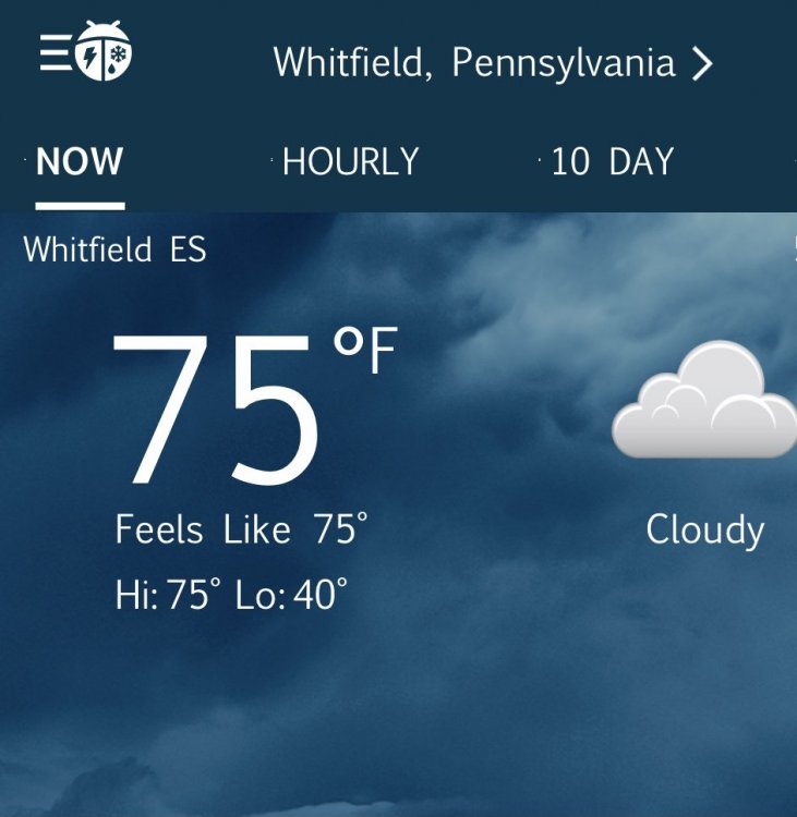
By the Elementary school
-
By the Elementary school
-
Balmy 75F in Western Berks
-
39F cloudy and a stiff breeze, Ugh well its the 15th is this day RedSky? are you throwing the towel in? Im thinking its not looking good for snow I guess there is still a long way to go but we keep trying to catch up to the pattern change and storm threats at 10 days and just not happening. Id still rather have cold and dry opposed to cold, warm, rain, cold.
-
One thing for sure it just seems like Winter is creeping along at a snails pace, with lows in lower 20"s and highs barely reaching 40 and mostly cloudy since Saturday the ground around my house is frozen, not a deep frost but frozen couple inches anyway.


