snowfan
-
Posts
9,347 -
Joined
-
Last visited
Content Type
Profiles
Blogs
Forums
American Weather
Media Demo
Store
Gallery
Everything posted by snowfan
-
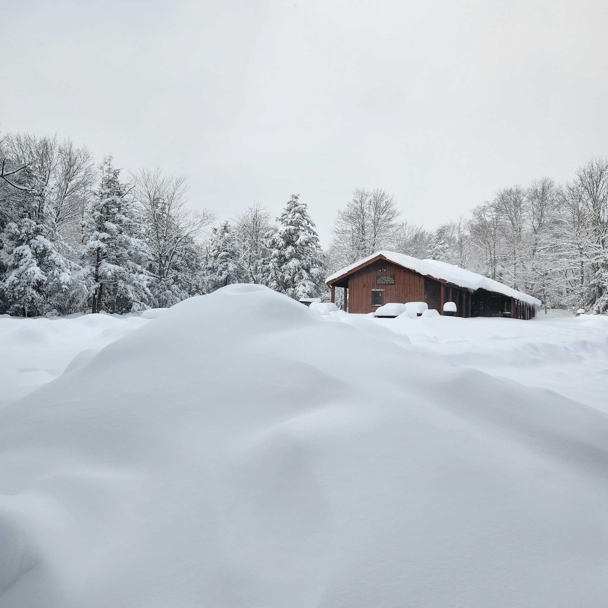
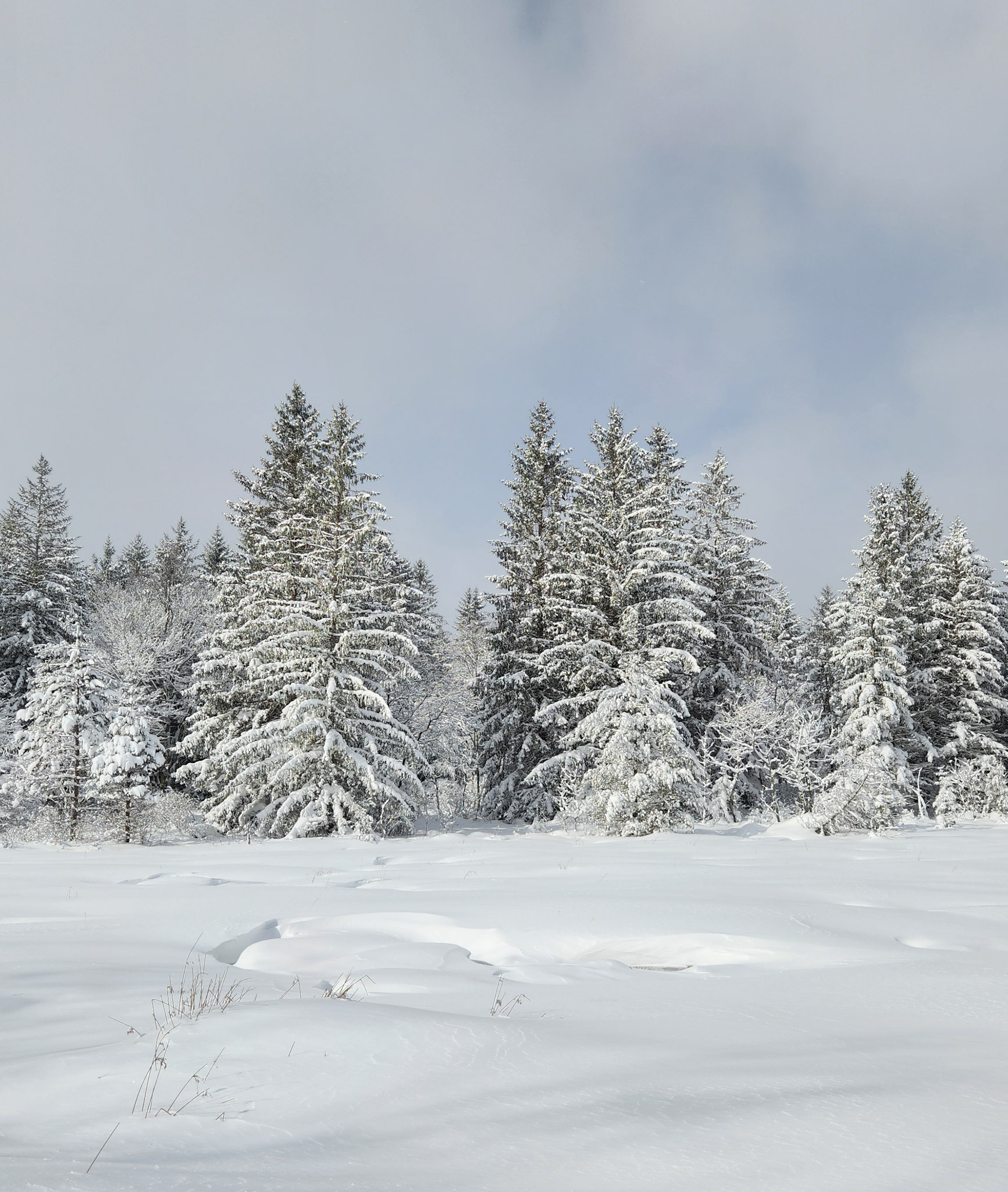
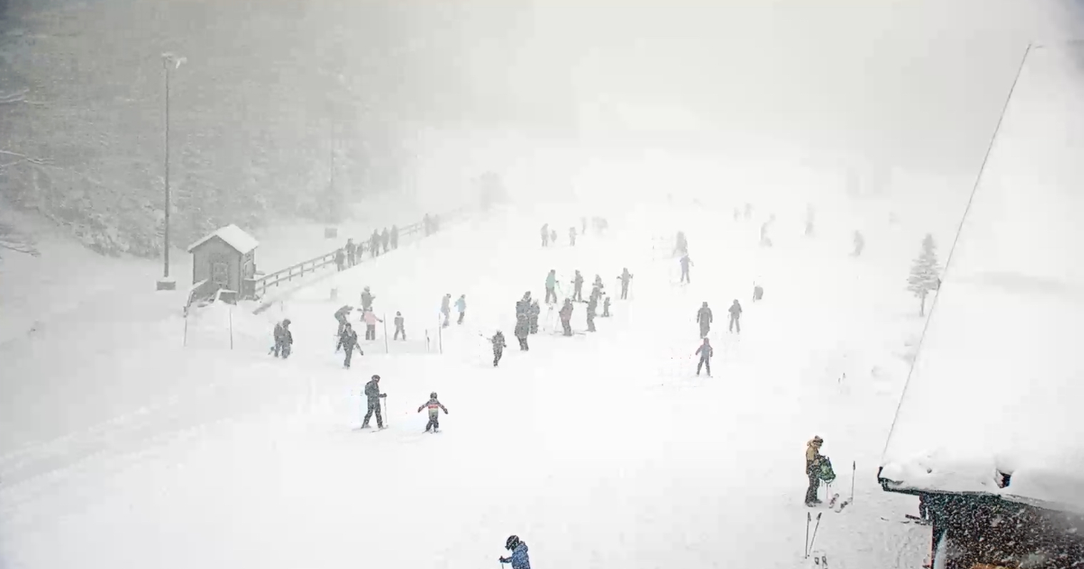
Just got in from a day out in Canaan and blackwater falls. Lowest temp was -1. WCs around -20 with snow showers off and on.


-
1/19/25: .5” season total: 9.75”
-

1/19 - The Roulette Wheel 29 Black Storm - OBS
snowfan replied to DDweatherman's topic in Mid Atlantic
Nuke job in canaan
-
1/19 - The Roulette Wheel 29 Black Storm - OBS
snowfan replied to DDweatherman's topic in Mid Atlantic
-
1/19 - The Roulette Wheel 29 Black Storm - OBS
snowfan replied to DDweatherman's topic in Mid Atlantic
Mostly SNPL imby after a brief period of light rain. -
1/19 - The Roulette Wheel 29 Black Storm - OBS
snowfan replied to DDweatherman's topic in Mid Atlantic
This is like an in game thread for your favorite team when they’re losing. So much negativity making it hard to enjoy reading obs. -
1/19 - The Roulette Wheel 29 Black Storm - OBS
snowfan replied to DDweatherman's topic in Mid Atlantic
Will has so many saved snow map images he’s starting to mix them up. -
1/19 - The Roulette Wheel 29 Black Storm - OBS
snowfan replied to DDweatherman's topic in Mid Atlantic
These type of events always seem to be a good test of one’s mindset. I just want a nice covering of the white stuff before the arctic air arrives. -
1/19 - The Roulette Wheel 29 Black Storm - OBS
snowfan replied to DDweatherman's topic in Mid Atlantic
Every time you post the rap there’s a giant ass share symbol in the image. -
1/19 - The Roulette Wheel 29 Black Storm - OBS
snowfan replied to DDweatherman's topic in Mid Atlantic
32 off a high of 42. -
-
Why would you post that bullshit?
-
Very good. A little chocolate, a little coffee. Definitely a sipper.
-
MFer, you haven’t seen a 1-3 clipper in leesburg in ages.
-
I just picked up their peanut butter weekend today.
-
New graphic for you.
-
-
-
-
-
Car topper imby.
-
There’s a large copy and paste above.
-
Special Weather Statement National Weather Service Baltimore MD/Washington DC 419 AM EST Thu Jan 16 2025 DCZ001-MDZ004>006-008-011-013-014-503>508-VAZ053-054-505-506-526- 527-161530- District of Columbia-Frederick MD-Carroll-Northern Baltimore- Cecil-Southern Baltimore-Prince Georges-Anne Arundel- Northwest Montgomery-Central and Southeast Montgomery- Northwest Howard-Central and Southeast Howard-Northwest Harford- Southeast Harford-Fairfax-Arlington/Falls Church/Alexandria- Western Loudoun-Eastern Loudoun-Northwest Prince William- Central and Southeast Prince William/Manassas/Manassas Park- Including the cities of Washington, Frederick, Ballenger Creek, Eldersburg, Westminster, Reisterstown, Cockeysville, Elkton, Baltimore, Bowie, Suitland-Silver Hill, Clinton, College Park, Greenbelt, Laurel, Camp Springs, Glen Burnie, Annapolis, Severn, South Gate, Severna Park, Arnold, Odenton, Germantown, Damascus, Bethesda, Rockville, Gaithersburg, Silver Spring, Lisbon, Columbia, Ellicott City, Jarrettsville, Aberdeen, Reston, Herndon, Annandale, Centreville, Chantilly, McLean, Franconia, Arlington, Alexandria, Falls Church, Purcellville, Leesburg, Ashburn, Sterling, Haymarket, Dale City, Manassas, Woodbridge, Lake Ridge, and Montclair 419 AM EST Thu Jan 16 2025 ...POTENTIAL WINTER COMMUTING HAZARD FOR THE BALTIMORE AND WASHINGTON METRO AREAS THIS AFTERNOON AND EVENING... There is a potential for hazardous commuting conditions for this afternoon and evening commute. A period of snow is POSSIBLE (a 30 to 50 percent chance) this afternoon and evening across the Baltimore and Washington metro areas with up to a half inch of accumulation on area roads. If this threat does materialize this afternoon and evening rush- hour, many roads could quickly turn snow covered. This could lead to dangerous traveling conditions on untreated surfaces. If commuting this afternoon and evening, be aware of the POSSIBILITY of travel disruptions. Plan ahead by allowing for extra travel time. Stay tuned for updates on this potential winter weather episode.
-
Seems like all guidance now keying in on Tue morning being the coldest of the season so far with below 0 WCs. Some schools in the area are off tue for semester break, but for those that are open, I could see delayed starts. That’s how we roll nowadays.
-
In the long range, gfs and euro op are now a bit closer wrt keeping that SER at bay. Euro showing a more pronounced cold push, but no extended AN temps on either op run right now.