Voyager
-
Posts
13,390 -
Joined
Content Type
Profiles
Blogs
Forums
American Weather
Media Demo
Store
Gallery
Everything posted by Voyager
-
My eyes and my heating oil budget like this!
-
It was a balmy 36 for my low this morning.
-
Lol...I saw that. I have no idea. It was supposed to be cropped out.
-
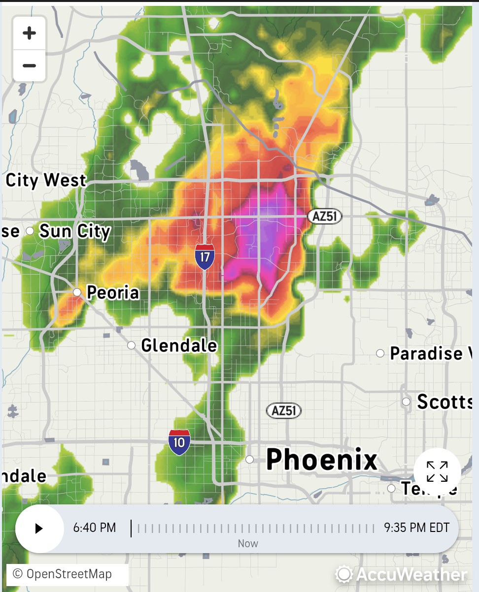
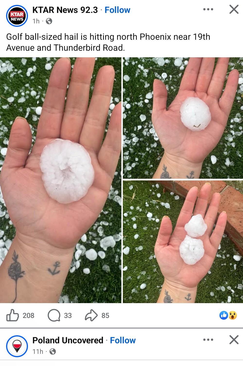
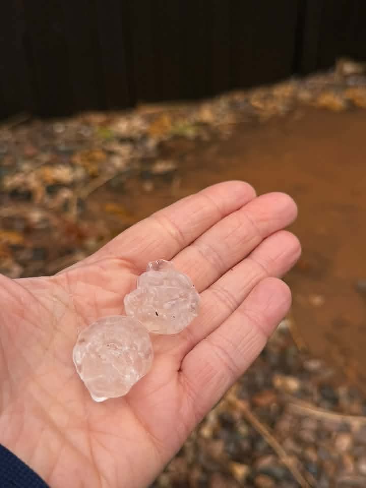
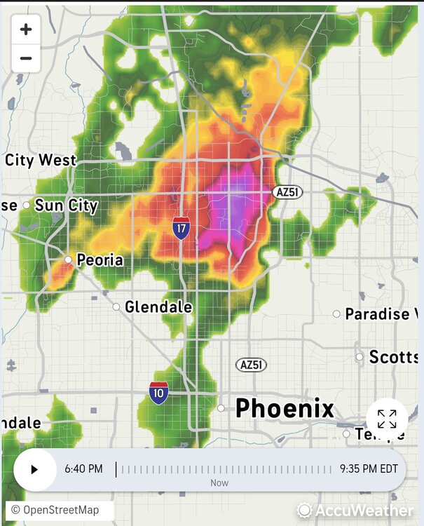
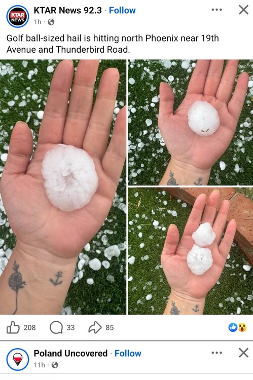
Almost historical. Check out the radar presentation of this supercell in North Phoenix. and the hail it produced.
-
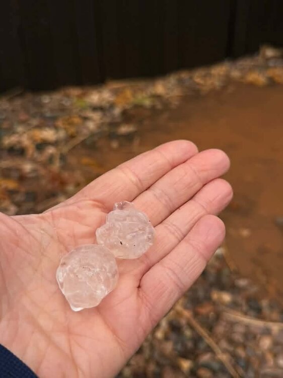
She didn't get the tornado, but did get a hail storm.
-
My niece was right in the middle of this one. Sounds like she and her property are ok. I'll let you know if she experienced anything bad or interesting.
-
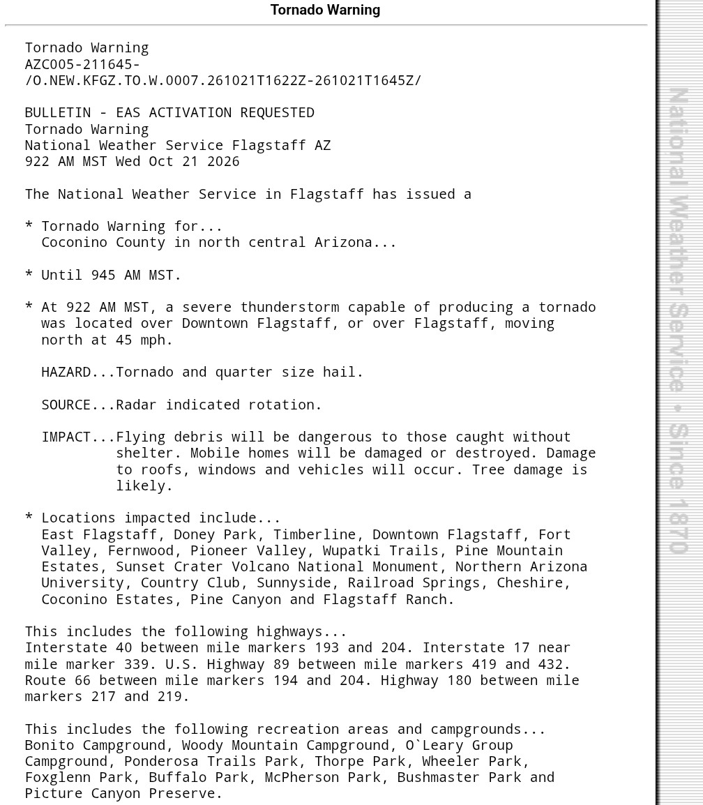
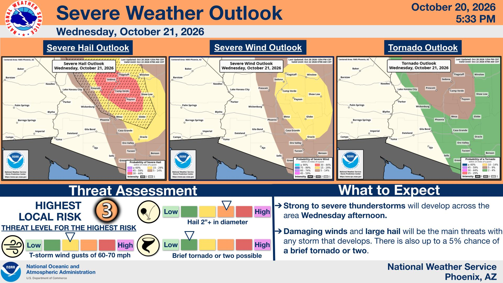
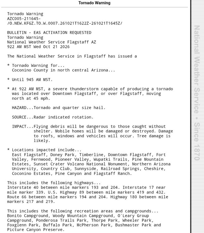
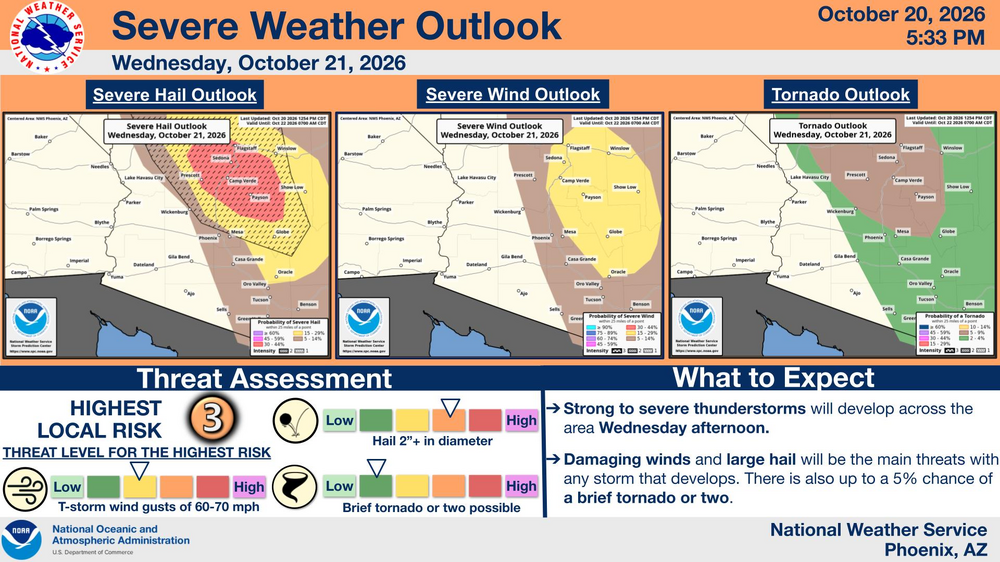
I know this is out of region, but interesting to me, and perhaps some others. Something to watch over the next 34-36 hours is an extremely rare severe outbreak potential over Central Arizona. From what I've heard and read, this is only the second time ever that the region was under an enhanced severe risk.
-
What I've bolded would work for me, as I'm not a fan of nickel and dime events that just slop up the roads with salt. I've always been a "go big or go home" guy, and as a driver I hate a dirty truck.
-
Seeing a great forecast for the week, I went down to work Saturday noon to wash our truck. Much to my chagrin, the camera guy was there installing new cameras in all the trucks, so I couldn't do it. A waste of time and expensive gas, but the real irritation is that we now have driver facing cameras to deal with. Before, we just had outward facing ones. I (along with everyone else) am not happy with it. We'll see how it works out.
-
30 was the low here as well.
-
Yup. And the timing of it looks like it'll get to us right in time for my wife's commute home from work.
-
Anyone else seeing windy conditions right now (9:50pm)?
-
I wish the big cold front was delayed by 24-36 hours. We have an outdoor wedding to attend as our neighbor's granddaughter is getting married on Saturday. Guess I'm going to have to put long johns (being sarcastic) on under my suit, because upper 40's with wind is not going to be pleasant.
-
79 was the Tamaqua high today (10/13).
-
My final was indeed 2.91"
-
Looks like I'm going to come up a tenth short of 3" for the event. 2.90" with not much more coming in per radar.
-
2.65" here. Above the high end forecast, but I might not crack the 3 inch mark. We'll see I guess.
-
Up to 2.10" now. Probably the best all day, much need soaker we've had in months. Thank you Hurricane Isaias!
-
And you probably wouldn't be posting because the server would have crashed by now... Up to 1.18" now.
-
Ran up pretty good now. Up to .90"
-
I was just checking your station, and I saw that. You got more than twice what I got so far. I'm only at .38" as I type this. Not sure if it's because you got under some heavier rain, it started earlier, or perhaps both.
-
Yup. I'm in the same range. We need it, though.
-
41 here for the low. It uncanny how many times you are two degrees colder than I am. More times actually than I've posted.
-
Ah yes. Better indeed. Nonetheless, speedy recovery my friend!
-
Good luck. I know exactly what you are and will be going through. It's a tough road, but definitely worth it.