Disc
-
Posts
3,996 -
Joined
-
Last visited
Content Type
Profiles
Blogs
Forums
American Weather
Media Demo
Store
Gallery
Everything posted by Disc
-
I just got Oklahoma NAM'd. 12" to nada.
-
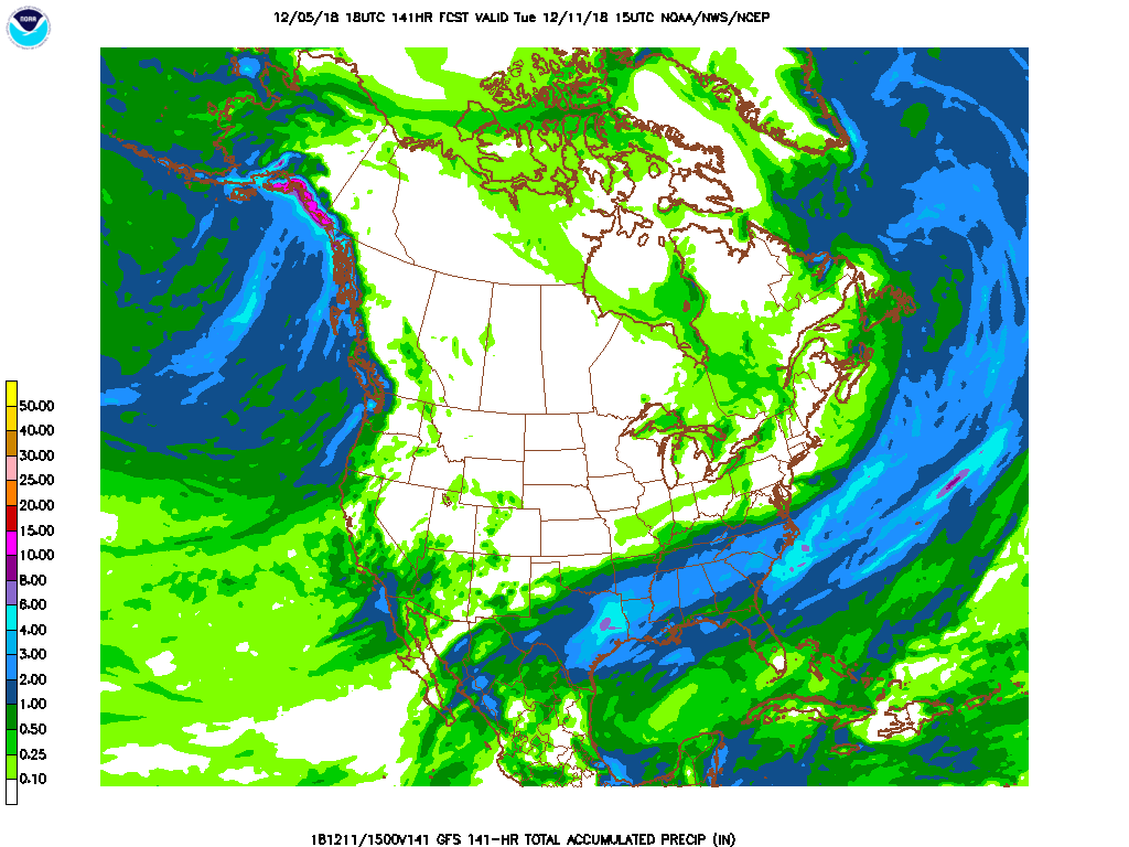
Yeah that just made this an even harder forecast. So now we range from 2 feet on the NAM to 0 from the GFS, with every other model in between.
-
I'm in full on weenie mode after seeing that NAM run.
-
Yes. Still very much in this. We are in a good spot and 6-12" is likely.
-
The south shifts are gonna put me in the sanitarium. Such a sharp cutoff across the area up here.
-
http://mageval.ncep.noaa.gov/model-guidance-model-area.php Says GFS, but this is the FV3. Hence the 'eval' in the URL.
-
Agreed. CAD will be well entrenched from Wytheville to the Blacksburg area, as usual. Southern Floyd County also tends to jackpot, but there's not many options to stay in that area. Hillsville would be my location of choice as of right now.
-
Correct. This is Kuchera. It at least tones down on the absurd totals to the east.
-
Too far out to even begin discussing this honestly. We are still trying to nail down a track.
-
Probably under doing it, per the usual. But we will have to wait and see.
-
The Euro isn't making this forecast any easier.
-
It's been an insane few months for sure. Speaking of record breaking rain, IF (and big IF) the Euro is anywhere close to being correct, it would likely break Roanoke's all time rainfall record for the year.
-
Yeah. I don't need it though. That means being stuck at the office for large/unwanted amounts of time. Still lots of model watching and trends to go!
-
I'm under the 30" of snow on the Euro. I'll rent my house out to the board.
-
Correct. I've been seeing a lot of absolutes being posted around here -- And it's still way too far out to even begin saying who will get what. A lot of people also read this forum who may take the absolutes and run with them. We can start nailing down who will get what later in the week, for now let's just sit back and watch each run. All we know is that there is likely a storm coming, but beyond that, nobody knows.
-
Gusts already over hurricane force NE of Morehead City. https://www.wunderground.com/personal-weather-station/dashboard?ID=KNCDAVIS2&cm_ven=localwx_pwsdash
-
Blacksburg and the UA site in Greensboro will also be conducting 6hr launches.
-

The December to Remember 7th-8th blue turd winter threat thread.
Disc replied to lilj4425's topic in Southeastern States
-
The December to Remember 7th-8th blue turd winter threat thread.
Disc replied to lilj4425's topic in Southeastern States
It shouldn't be taken as gospel at this range. It really becomes useful for events within 36 hours. It's a finer resolution model, so it's better with the mesoscale aspect. i.e sniffing out warm noses and banding. -
Only thing going for me is I have good ratios.
-
These boards are pure entertainment during snow threats. I love it!
-
"(Insert model name here) is running."
-
Only useful out to 1hr.
-
ECMWF: The best model out there -- until it crushes all the weenie's dreams.