-
Posts
1,742 -
Joined
-
Last visited
About Burghblizz

Profile Information
-
Four Letter Airport Code For Weather Obs (Such as KDCA)
KPIT
-
Gender
Male
-
Location:
Cranberry Township, PA
Recent Profile Visitors
-
Pittsburgh/Western PA WINTER ‘25/‘26
Burghblizz replied to Burghblizz's topic in Upstate New York/Pennsylvania
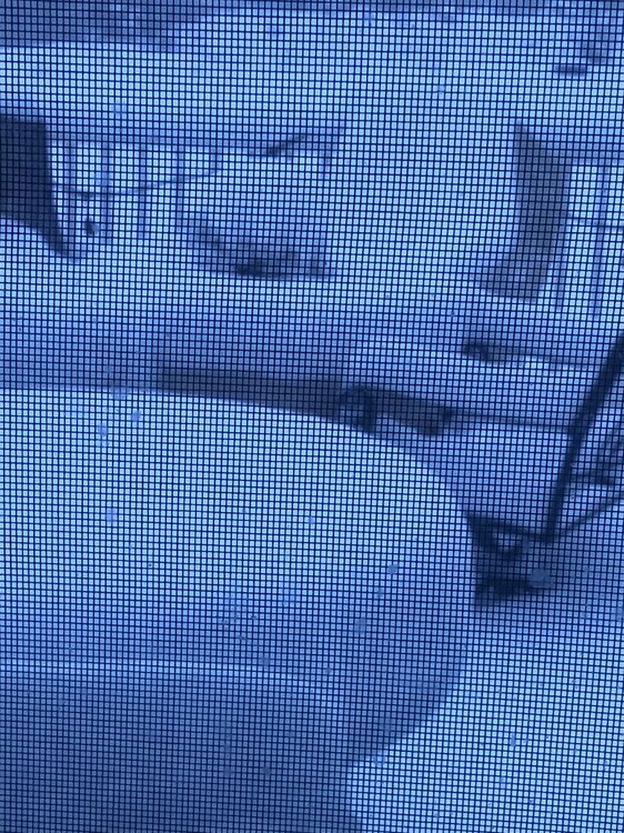
March 2022 was a similar setup, but the front lingered longer. I got 7” or 8” out of that. Not sure what the official total was, but this was my deck: -
Pittsburgh/Western PA WINTER ‘25/‘26
Burghblizz replied to Burghblizz's topic in Upstate New York/Pennsylvania
This kind of makes me wonder what “appropriate” material for a snowboard is. My north facing Trex deck collects snow like it’s paid by the inch. My south facing concrete sidewalk - not so much. Big difference for an an event like this. Seems like NWS uses something that is pretty efficient. -
Pittsburgh/Western PA WINTER ‘25/‘26
Burghblizz replied to Burghblizz's topic in Upstate New York/Pennsylvania
This is an example of mesos doing a really nice job with this and those making forecasts just not believing it. And I get it - certainly some bust potential in mid March with warm ground. And the impact on the roads, etc might not be too much. But It really wasn’t a “surprise”. Lots of data for it, and we have done well with Anafronts before -
Pittsburgh/Western PA WINTER ‘25/‘26
Burghblizz replied to Burghblizz's topic in Upstate New York/Pennsylvania
Second glance - either it was really ripping the last hour or I was low balling. Looks more like 3.5”-4” Spotter a mile from me reported 3” at 7:30, so that tracks (again, I’m away not just too lazy to measure :-)) -
Pittsburgh/Western PA WINTER ‘25/‘26
Burghblizz replied to Burghblizz's topic in Upstate New York/Pennsylvania
2” so far (eyeballing on my ring cam) -
Pittsburgh/Western PA WINTER ‘25/‘26
Burghblizz replied to Burghblizz's topic in Upstate New York/Pennsylvania
NAM had this look a couple days ago, and now has it back. Would have to thread the needle with timing. I’m on a work trip, so book it! :-) -
Pittsburgh/Western PA WINTER ‘25/‘26
Burghblizz replied to Burghblizz's topic in Upstate New York/Pennsylvania
0Z NAM with a mini-Namming, showing 6”+ with the frontal passage of the big Midwest storm Monday afternoon. As you would expect, that backed off a little this morning Will still be interesting to see if that’s just a little white rain, or if there can be a period of accumulating snow. -
Pittsburgh/Western PA WINTER ‘25/‘26
Burghblizz replied to Burghblizz's topic in Upstate New York/Pennsylvania
Very cool! What did it pick up as far as max winds? -
Pittsburgh/Western PA WINTER ‘25/‘26
Burghblizz replied to Burghblizz's topic in Upstate New York/Pennsylvania
Fitting that we had 60 MPH gusts today (although obviously a much different day overall) -
Pittsburgh/Western PA WINTER ‘25/‘26
Burghblizz replied to Burghblizz's topic in Upstate New York/Pennsylvania
Snow will count for this winter through June (if it were actually able to snow in June). It will be the best since ‘21-‘22, and possibly ‘20-‘21. Was nice to see a major storm and some long term snow pack. Better than stat padding snows. We’ve had a couple historically scarce winters this decade, but so far 3 out of the 6 will crack 45” for the season. -
Pittsburgh/Western PA WINTER ‘25/‘26
Burghblizz replied to Burghblizz's topic in Upstate New York/Pennsylvania
Agree - gimme good rates anytime any place -
Pittsburgh/Western PA WINTER ‘25/‘26
Burghblizz replied to Burghblizz's topic in Upstate New York/Pennsylvania
I’ll take the warmth since this last threat fizzled. Maybe we can pull one more decent one together. Either way, I think we will still scratch our way to 50”. Can’t complain. -
Pittsburgh/Western PA WINTER ‘25/‘26
Burghblizz replied to Burghblizz's topic in Upstate New York/Pennsylvania
GFS taken literally is worse (lighter snows), but in reality much better as far as breathing room. Considerably south. -
Pittsburgh/Western PA WINTER ‘25/‘26
Burghblizz replied to Burghblizz's topic in Upstate New York/Pennsylvania
I got over 14” dumped in my yard. Good by me all the way around. Icing on the cake would be a nice paste bomb early next week. Lead the way GFS -
Pittsburgh/Western PA WINTER ‘25/‘26
Burghblizz replied to Burghblizz's topic in Upstate New York/Pennsylvania
Happy beating climo snowfall today for those that celebrate. So while the Monday threat looks shaky at best, not a bad place be sitting. Either way - likely to add on before the end of the season.


.thumb.png.991e09c19c25af7391ed569a205a5136.png)


