Festus
-
Posts
648 -
Joined
-
Last visited
Content Type
Profiles
Blogs
Forums
American Weather
Media Demo
Store
Gallery
Everything posted by Festus
-
Zoinks. Maybe the Weather Channel needs to refire the 2 - 3 ft graphic. And then 50 and rain by Friday. Double zoinks.
-
From CTP's AFD earlier - "Wind gusts 30-35mph are possible across the far southeast zones particularly early Monday as the low deepens offshore the Delmarva/NJ coast." Coupled with - "Blizzard Warning: Sustained or frequent gusts to 35 mph or greater and considerable falling and/or blowing snow. These conditions must last for at least 3 hrs. (Usually associated w/6+ inches of snowfall in central PA)" ...Just maybe
-
Watch issued by LWX. We can't be too far behind.
-
Bup 'o kiss here. Like completely dry.
-
Spot on at the moment Mag - my grid for Monday night: "Sleet, possibly mixed with snow. Low around 27. Chance of precipitation is 80%." Ick.
-
WWA issued for all (just added the 4 southeast counties). Quite the potpourri depending on one's location.
-
Yep, my bad. At least the giant bologna won't be ice covered for the drop tonight.
-
WWA for all except Lancaster and York counties.
-
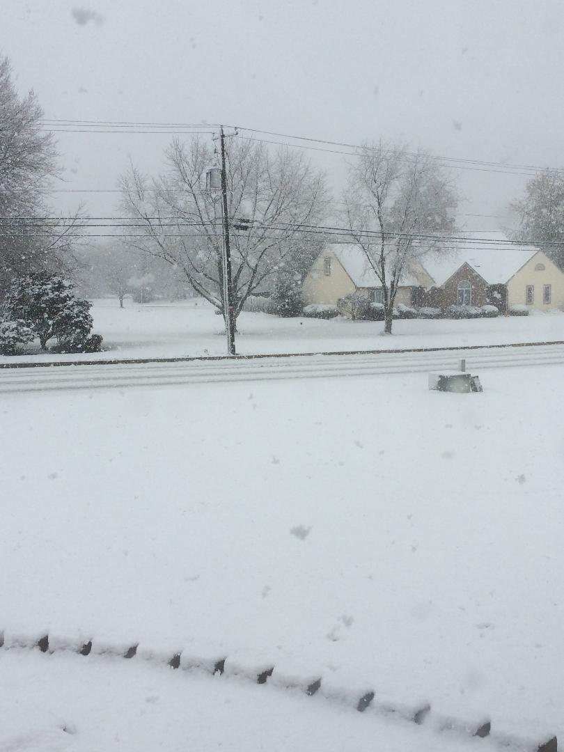
Snowpack took a hit in the past 24 hours. Tips of the grass visible in some spots. Might not be a bad thing given the .75 - 1 inches of "showers" in my grid for Thursday (pet peeve - wouldn't .75 - 1 inch be called "rain"?).
-
Do you guys use your personal weather stations or use the closest WU station when reporting conditions?
-
Low of 9.7F here in East Petersburg. Coldest reading so far in calendar 2020!
-
December 16 2020 CTP Snowstorm Disco and Obs
Festus replied to pasnownut's topic in Upstate New York/Pennsylvania
Reports the highest storm total of 44" near Binghamton. https://www.yahoo.com/news/deadly-winter-storm-brings-nearly-165906297.html -
December 16 2020 CTP Snowstorm Disco and Obs
Festus replied to pasnownut's topic in Upstate New York/Pennsylvania
Right at 10" here. The blower was unamused moving it but got through. Amazing I have dry driveway already. Even at basically the lowest sun angle of the year, a clear sky can finish the drying quickly. -
December 16 2020 CTP Snowstorm Disco and Obs
Festus replied to pasnownut's topic in Upstate New York/Pennsylvania
All sleet. Great visibility though. -
December 16 2020 CTP Snowstorm Disco and Obs
Festus replied to pasnownut's topic in Upstate New York/Pennsylvania
Sleet mixing in here at the moment. -
December 16 2020 CTP Snowstorm Disco and Obs
Festus replied to pasnownut's topic in Upstate New York/Pennsylvania
Dry slot around mid Virginia moving north has me a little concerned. What's the thinking of that either filling in or shutting us off? -
This is just grand. I put a long line Christmas lights along my sidewalk and around the front of the house about 6 inches off the ground. It appears that won't end well.
-
Central PA - February 2020
Festus replied to Itstrainingtime's topic in Upstate New York/Pennsylvania
Just so we don't forget what one of these looks like. At least there's winter SOMEWHERE in PA... PAZ001>003-262345- /O.CON.KCLE.WS.A.0002.200227T0300Z-200229T2300Z/ Northern Erie-Southern Erie-Crawford- Including the cities of Erie, Edinboro, and Meadville 1045 AM EST Wed Feb 26 2020 ...WINTER STORM WATCH REMAINS IN EFFECT FROM 10 PM EST THIS EVENING THROUGH SATURDAY AFTERNOON... * WHAT...Heavy snow possible. Total snow accumulations of 6 to 10 inches possible. Higher amounts in excess of a foot are possible across inland Erie county. Winds could gust as high as 45 mph which will cause blowing and drifting of the snow. * WHERE...Northern Erie, Southern Erie and Crawford counties. * WHEN...From 10 PM EST this evening through Saturday afternoon. * IMPACTS...Travel could be very difficult to impossible. The hazardous conditions could impact the morning or evening commute. * ADDITIONAL DETAILS...Gusty winds will cause wind chill temperatures in the single digits Thursday through Saturday morning. -
Central PA - February 2020
Festus replied to Itstrainingtime's topic in Upstate New York/Pennsylvania
Matt Moore is indeed bailing from WGAL, traffic anchor Britney Garzillo as well. This may even go back to the Eastern days but wasn't there a dude (Zak maybe?) who was really sharp and left due to too much drama? -
Central PA - Late Dec 2019/Jan 2020
Festus replied to MAG5035's topic in Upstate New York/Pennsylvania
CTP showing 1 -3 here with sleet mixing around 4 PM. I'm guessing they are waiting for the 12Z suite before issuing products. On a totally unrelated note, the February natural gas futures have absolutely tanked. Guess the traders do not see big arctic chill next month. -
Fall/Early Winter 2019 Forecasts and Discussion
Festus replied to pasnownut's topic in Upstate New York/Pennsylvania
That's pretty accurate. Just the VERY tips of the grass visible. Definitely an over performer down my way. -
Fall/Early Winter 2019 Forecasts and Discussion
Festus replied to pasnownut's topic in Upstate New York/Pennsylvania
So much for my "just slush on the grass" call...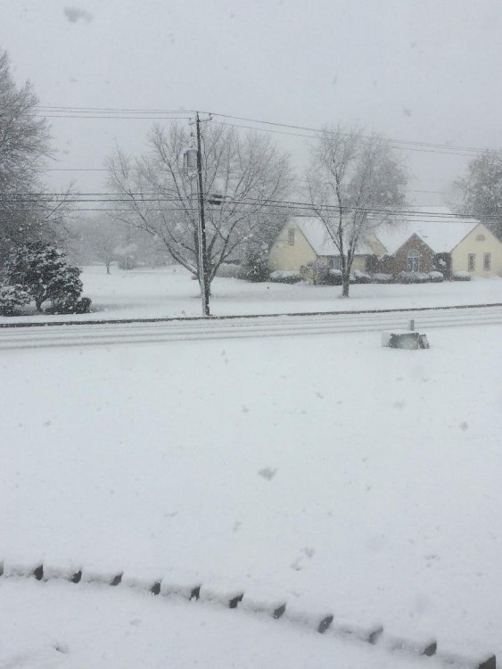
-
Fall/Early Winter 2019 Forecasts and Discussion
Festus replied to pasnownut's topic in Upstate New York/Pennsylvania
Yep, mixing here. Radar looking fairly healthy. Maybe some grassy slush possible down this way. -
Fall/Early Winter 2019 Forecasts and Discussion
Festus replied to pasnownut's topic in Upstate New York/Pennsylvania
SPS issued for the region stating gusts of 60 to 80 mph possible with squall line passage. " A line of severe thunderstorms is expected to cross Central Pennsylvania, roughly between 5 and 10 pm. Some areas will see damaging wind gusts of 60 to 80 mph along this line of storms. Given how strong the winds are in the lower levels of the atmosphere, isolated tornadoes are also a possibility. -
KLNS currently showing a dewpoint of 79. That is the highest I can ever remember. Have we ever had an 80 handle? And FYI, the highest ever veriified dewpoint in the United States is 88. Sheesh, not too far off that mark. And from the completely out of hand department, the highest ever dew point in the world was 95 in Saudi Aradia. Coupled with an air temp of 108, the heat index was a tidy 176. Makes our 112 not seem so bad (or not).