dendrite
-
Posts
76,037 -
Joined
Content Type
Profiles
Blogs
Forums
American Weather
Media Demo
Store
Gallery
Everything posted by dendrite
-

May 8-9 mid-spring rain, snow, cold, wind obs
dendrite replied to CT Valley Snowman's topic in New England
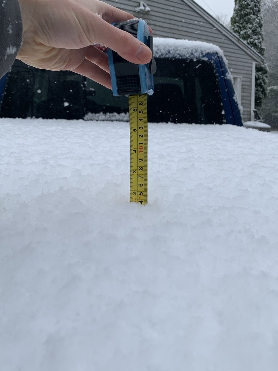
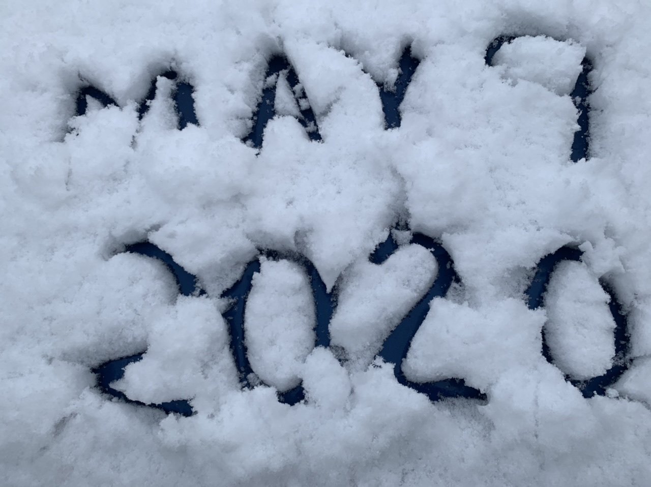
Weenie truck shot a half hour ago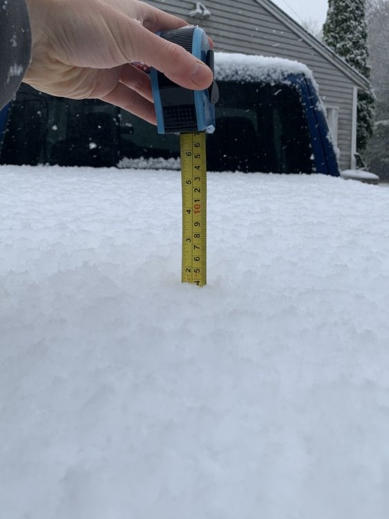
-
May 8-9 mid-spring rain, snow, cold, wind obs
dendrite replied to CT Valley Snowman's topic in New England
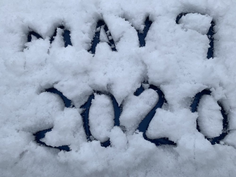
-
May 8-9 mid-spring rain, snow, cold, wind obs
dendrite replied to CT Valley Snowman's topic in New England
Up to 1.2” and pounding -
May 8-9 mid-spring rain, snow, cold, wind obs
dendrite replied to CT Valley Snowman's topic in New England
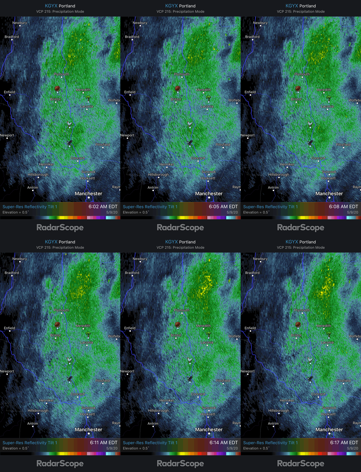
-
May 8-9 mid-spring rain, snow, cold, wind obs
dendrite replied to CT Valley Snowman's topic in New England
31.4° +SN Actually getting some drifting in the higher gusts. lol -
May 8-9 mid-spring rain, snow, cold, wind obs
dendrite replied to CT Valley Snowman's topic in New England
Ripping fatties -
May 8-9 mid-spring rain, snow, cold, wind obs
dendrite replied to CT Valley Snowman's topic in New England
31.7° and growth/intensity picking up. Pretty breezy too. -
May 8-9 mid-spring rain, snow, cold, wind obs
dendrite replied to CT Valley Snowman's topic in New England
Pretty cool to see flakes in NYC this late into May. Run of the mill cold. -
May 8-9 mid-spring rain, snow, cold, wind obs
dendrite replied to CT Valley Snowman's topic in New England
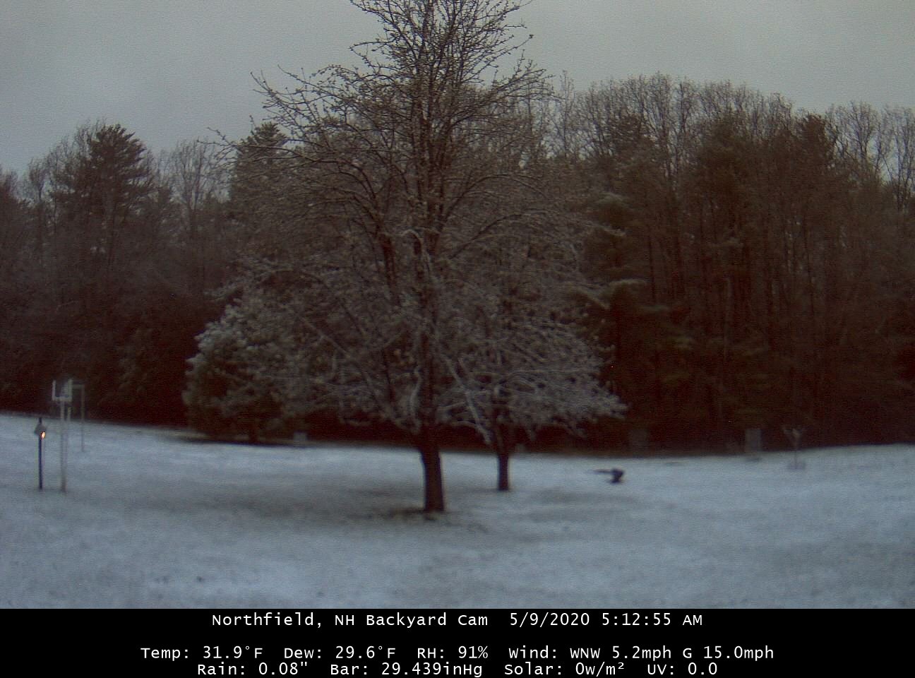
31.9° We snow.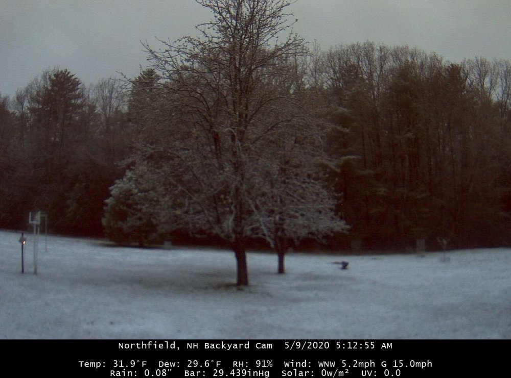
-
May 8-9 mid-spring rain, snow, cold, wind obs
dendrite replied to CT Valley Snowman's topic in New England
37/34 an hour ago at Miller St Park. -
May 8-9 mid-spring rain, snow, cold, wind obs
dendrite replied to CT Valley Snowman's topic in New England
Virga 48/29 -
Looks like it was impeached.
-
My post was tongue-in-cheek anyway.
-
Josh's career peaked back when he was regularly posting here, but he's still making a pretty decent living for himself.
-
rip snarf
-
Kp 4 after being 6 earlier. Not gonna waste my time looking every 5 mins.
-
Massabesic Lake COOP in Rockingham county had a low of -43°.
-
I hit a roadblock at state selection just now. Maybe they’re having temporary issues.
-
Have you tried here for hourlies? https://www7.ncdc.noaa.gov/CDO/cdoselect.cmd
-
The -39F was on 2/16 along with the CON record of -37F. Maybe you just had a typo though.
-
Old scale
-
I put in a request for data from Limestone (and some other sites) and had no luck with beating the -52F or -54F. If you want to look at the data for the fun of it (while it's temporarily still available) here are the links. HUL https://www.ncdc.noaa.gov/orders/isd/72703399999-1943-02_4293847657710dat.html https://www.ncdc.noaa.gov/orders/isd/72703399999-1943-02_3085127657709dat.html https://www.ncdc.noaa.gov/orders/isd/72703399999-1943-02_5776307657714dat.html PQI https://www.ncdc.noaa.gov/orders/isd/72713014604-1943-02_1867547657715dat.html BGR https://www.ncdc.noaa.gov/orders/isd/72607099999-1943-02_7875057657716dat.html LIZ https://www.ncdc.noaa.gov/orders/isd/72712514623-1957-01_3553737658774dat.html https://www.ncdc.noaa.gov/orders/isd/72712514623-1982-01_9431147658772dat.html https://www.ncdc.noaa.gov/orders/isd/72712514623-1984-01_757727658775dat.html https://www.ncdc.noaa.gov/orders/isd/99999994645-2009-01_7434377658776dat.html https://www.ncdc.noaa.gov/orders/isd/99999994645-2009-01_6307047658777dat.html https://www.ncdc.noaa.gov/orders/isd/72712514623-1980-12_791517658784dat.html https://www.ncdc.noaa.gov/orders/isd/72712514623-1981-01_8358887658786dat.html https://www.ncdc.noaa.gov/orders/isd/72712514623-1988-01_839277658787dat.html https://www.ncdc.noaa.gov/orders/isd/99999994645-2004-01_8407227658804dat.html
-
For Maine...I know FVE had at least a -54F on 1/14/2004.
-
Yeah...before automation you had mainly hourly obs. MWN had all analog recording instruments and a thorough climate record so they had all of the paper charts of instantaneous obs saved. The 1-min ASOS data archive goes back to the early 2000s so if there’s a record wind chill since then you could look up those and find the precise coldest minute. You’re pretty much stuck with the hourlies before then.
-
The -107°F came from an observer so I presume it was an in-between hour reading considering the -44°F temp was in-between as well.